Horseshoe Meadow Equestrian Camp
Campground
Campground · 3.2 mi from the trail
 Photo: danhurt, CC BY-SA 2.0 (via Flickr)
Alert in the area
The Forest Service lists 3 alerts for Inyo National Forest.
Help Halt Golden Mussel Invasion
Agency alert covering Inyo National Forest · USFS · Inyo National Forest
Ansel Adams and John Muir Wilderness Campfire Restrictions
Agency alert covering Inyo National Forest · Order 05-04-50-25-04 · USFS · Inyo National Forest
Golden Trout and Hoover Wilderness Campfire Restrictions
Agency alert covering Inyo National Forest · Order 05-04-50-25-05 · USFS · Inyo National Forest
As of · Source: USFS · Inyo National Forest. Agencies don't list every closure — check before you go.
Chicken Spring Lake (West) is a short, easy hike in the Golden Trout Wilderness, part of the Mt. Whitney Ranger District of Inyo National Forest in California. The Forest Service manages the land, and the trail is about 0.44 miles long, with a one-way elevation gain of 21 feet. It is a natural-surface out-and-back route, and the trail is not accessible. Horses are allowed, but bikes are not. The trail sits within designated wilderness, so plan around that when you're packing. The Chicken Spring Lake trailhead is about 0.1 mile away, and the Pacific Crest Trail passes within about 0.4 mile. Cottonwood Pass Trail is about 0.6 mile off, and the Lone Pine Area climbing area is about 1.3 miles away.
Horseshoe Meadow Equestrian Camp
Campground
Whitney Portal Store
Restaurant
Kern Hot Spring
Hot spring
Places © OpenStreetMap contributors
More in Silver CityNot on Roamze yet. Their page has how to reach them.
 Photo: Jesse Wagstaff, CC BY 2.0 (via Flickr)
Cirque Lake
~4 min drive
1.54-mile out-and-back trail to Cirque Lake in California with 226 ft of elevation gain.
 Photo: danhurt, CC BY-SA 2.0 (via Flickr)
Siberian Pass Trail
~5 min drive
7.24-mile out-and-back trail in California with 1,528 ft elevation gain and loss.
 Photo: danhurt, CC BY-SA 2.0 (via Flickr)
Siberian Pass Trail
~5 min drive
10.54-mile out-and-back hike in California with 1,337 ft elevation gain and loss.
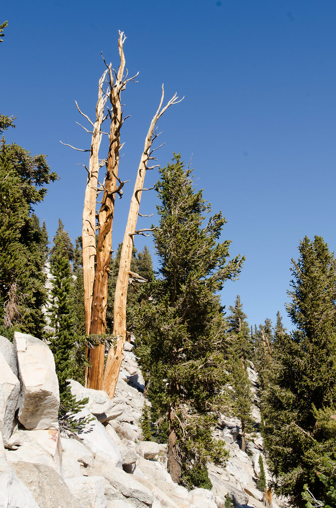 Photo: danhurt, CC BY-SA 2.0 (via Flickr)
Cottonwood Pass Trail
~1 min drive
9.46-mile out-and-back hike in California with 2,248 ft elevation gain and loss.
Photo: danhurt, CC BY-SA 2.0 (via Flickr)Siberian Pass Cutoff Trail
~4 min drive
2.52-mile out-and-back trail in California with 379 ft elevation gain
 Photo: Jesse Wagstaff, CC BY 2.0 (via Flickr)
Cottonwood Pass
~5 min drive
5.36-mile out-and-back trail in California with 1,114 ft elevation gain.
 Photo: kalestews, CC BY 2.0 (via Flickr)
New Army Pass
~6 min drive
9.58-mile out-and-back trail in California with 2,298 ft elevation gain.
 Photo: danhurt, CC BY-SA 2.0 (via Flickr)
Mount Newcomb
~5 min drive
Route to the summit of Mount Newcomb (13,419 ft) from Cottonwood Pass Trailhead.
Photo: Jesse Wagstaff, CC BY 2.0 (via Flickr)Siberian Pass
~5 min drive
2.36-mile out-and-back trail in California with 184 ft gain and 11,037 ft max elevation.
Photo: kalestews, CC BY 2.0 (via Flickr)Cottonwood Lakes
~6 min drive
5.93-mile out-and-back trail to Cottonwood Lakes in California with 1,026 ft of elevation gain.
Also worth it near here


