Lake Mountain
- 16.8 mi
- round trip
- 4,245 ft
- climb
- 6,733 ft
- high point
- Out and back
- route
Is Lake Mountain open right now?
Alert in the area
The Forest Service lists 2 alerts for Klamath National Forest.
Temporarily closure of approximately 3.5 miles of National Forest System Roads 47N01
Agency alert covering Klamath National Forest · Order 05-05-00-26-08 · USFS · Klamath National Forest
Grayback Road Repairs
Agency alert covering Klamath National Forest · USFS · Klamath National Forest
As of · Source: USFS · Klamath National Forest. Agencies don't list every closure — check before you go.
Lake Mountain is a hard hike of about 16.8 miles on the Scott River Ranger District of Klamath National Forest in northern California. The route is an out-and-back that gains about 4,245 feet, starting at roughly 2,550 feet and climbing to a high point of about 6,730 feet. The trail surface is natural, and the Forest Service manages the surrounding land. The climb is long and steep. A hike of this length and elevation gain takes serious planning, with time and supplies for a full day on the trail. The nearest camp is Sarah Totten Campground, about 3.7 miles away, and the Sugar Pine Access trail lies about 3.5 miles off. Horse Creek, a canoeing spot, and Tyler Meadows, another hike, are each about 9.6 miles away.
Local outfitters
- Ashland Family YMCA35 mi away
- Momentum River Expeditions35 mi away
Not on Roamze yet. Their page has how to reach them.
- Sugar Pine AccessHiking3.5 mi
- Sarah Totten CampgroundCamping3.7 mi
- Indian Scotty Group SiteCamping8.2 mi
- Horse CreekCanoeing8.5 mi
- Tyler MeadowsHiking9.6 mi
- Boulder Creek TrailHiking9.6 mi
Source: Roamze catalog (indexable pages within 10 miles, PostGIS distance)
 Box CampHiking · ~20 min drivePhoto: Calaina, CC BY-SA 3.0 (via Wikimedia Commons)
 Lovers CampHiking · ~21 min drivePhoto: Calaina, CC BY-SA 3.0 (via Wikimedia Commons)
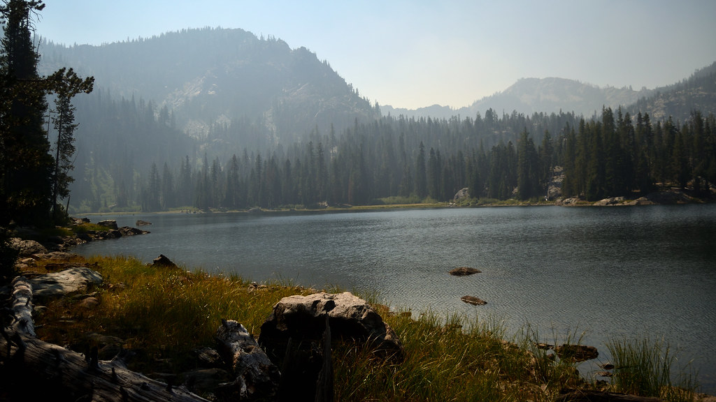 CAMPBELL CUTOFFHiking · ~24 min drivePhoto: Tom Hilton, CC BY 2.0 (via Flickr)
- Kings Castle Crest TrailHiking · ~22 min drive
- Red RockHiking · ~22 min drivePhoto: Calaina, CC BY-SA 3.0 (via Wikimedia Commons)
- Sugar Pine AccessHiking · ~6 min drive
- Boulder Creek TrailHiking · ~16 min drive
- Pacific Crest National Scenic TrailHiking · ~23 min drive
- Canyon CreekHiking · ~21 min drivePhoto: Calaina, CC BY-SA 3.0 (via Wikimedia Commons)
- Pacific Crest National Scenic TrailHiking · ~19 min drive
