Pacific Crest National Scenic Trail
- 59.5 mi
- one way
- 5,825 ft
- climb
- 7,396 ft
- high point
- Point to point
- route
Caution at last check
Agency alerts are in effect for this area; weather is marginal · USFS, OpenWeather · checked 16 h ago
Is Pacific Crest National Scenic Trail open right now?
Alert in the area
The Forest Service lists 2 alerts for Klamath National Forest.
Temporarily closure of approximately 3.5 miles of National Forest System Roads 47N01
Agency alert covering Klamath National Forest · Order 05-05-00-26-08 · USFS · Klamath National Forest
Grayback Road Repairs
Agency alert covering Klamath National Forest · USFS · Klamath National Forest
As of · Source: USFS · Klamath National Forest. Agencies don't list every closure — check before you go.
The Pacific Crest National Scenic Trail is a long-distance route in California, covering about 59.5 miles through the Marble Mountain Wilderness in the Scott River Ranger District of Klamath National Forest. The trail is managed by the Forest Service and rated expert, with a total elevation gain of 5,825 feet and a total loss of 10,406 feet over the course of the route. The trail starts at an elevation of about 6,578 feet and reaches a high point of 7,396 feet. The route is a point-to-point path, and the trip is estimated to take about 22.5 hours. That means planning for a full day of hiking over several days, with the trail crossing a range of elevation with both climbs and descents. Rye Patch Trail and Rye Patch (Paradise Lake) both lie within a third of a mile of the route, and Bear Lake Saddle is under a mile away. Farther out, about 3 miles off, are the Marble Rim climbing area.
Local outfitters
- Applegate Trail Rides42 mi away
- Ashland Family YMCA48 mi away
Not on Roamze yet. Their page has how to reach them.
- Rye Patch TrailHiking0.2 mi
- Rye Patch (Paradise Lake)Hiking0.3 mi
- Bear Lake SaddleHiking0.9 mi
- Marble RimRock climbing3 mi
- Karst CragRock climbing3.3 mi
- Elk CreekCanoeing5.3 mi
- Indian Scotty Group SiteCamping6.7 mi
- North Fork Wooley CreekCanoeing7.6 mi
Source: Roamze catalog (indexable pages within 10 miles, PostGIS distance)
 Marble Gap TrailHiking · ~5 min drivePhoto: Calaina, CC BY-SA 3.0 (via Wikimedia Commons)
 Box CampHiking · ~5 min drivePhoto: Calaina, CC BY-SA 3.0 (via Wikimedia Commons)
 Lovers CampHiking · ~6 min drivePhoto: Calaina, CC BY-SA 3.0 (via Wikimedia Commons)
- Kings Castle Crest TrailHiking · ~2 min drive
- Marble RimHiking · ~7 min drivePhoto: Calaina, CC BY-SA 3.0 (via Wikimedia Commons)
- Red RockHiking · ~6 min drivePhoto: Calaina, CC BY-SA 3.0 (via Wikimedia Commons)
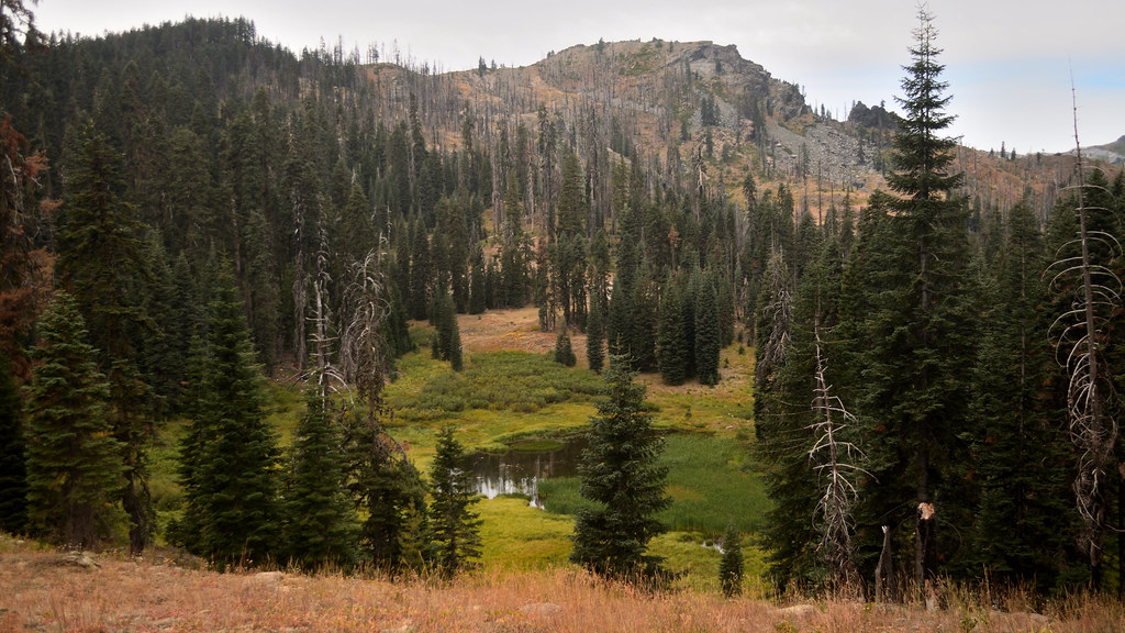 Shadow Lake TrailHiking · ~8 min drivePhoto: Tom Hilton, CC BY 2.0 (via Flickr)
- BEAR CREEK TRAIL/ KELSEY NRTHiking · ~6 min drive
- Rye Patch TrailHiking · Next door
- Canyon CreekHiking · ~6 min drivePhoto: Calaina, CC BY-SA 3.0 (via Wikimedia Commons)
Map and trail data © OpenStreetMap contributors
