Lake Almanor Recreation Trail
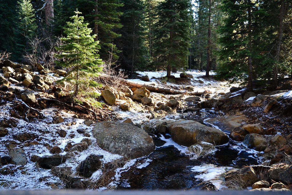 Photo: ilya_ktsn, CC BY 2.0 (via Flickr)
- 14.5 mi
- round trip
- 350 ft
- climb
- 4,686 ft
- high point
- Out and back
- route
- Apr–Jun, Aug–Oct
- best months
Lake Almanor Recreation Trail is a 14.5-mile out-and-back route on a paved path in Lassen National Forest, in northeastern California. The trail climbs from about 4,511 feet to about 4,686 feet, a total gain of 350 feet, and is managed by the Forest Service. Bicycles are allowed, while horses are not. Late spring and early fall are the most comfortable times to go. Typical averages from the nearby Chester weather station show highs around 67°F in May and 79°F in September, with July peaking near 86°F. The station sits at about 4,530 feet, so temperatures on the trail run a little higher. The trail is open from May 1 to December 1, and the Lk Alm Trail North Trailhead is the starting point. Campers have several options within a couple of miles, including Almanor Group Campsite, Almanor Legacy Campground and Almanor North and South Campgrounds. Paddlers can reach the North Fork Feather River about 1.8 miles away.
Best time to go · Apr–Jun, Aug–Oct
Best time to visit Lake Almanor Recreation Trail
Best months: April–June and August–October. Best months have typical highs of 55–85 °F, lows of 30 °F or warmer (32 °F where the station doesn't record snow), at most one snowy day and no more than 12 wet days.
Jan
42° / 22°
12 wet · 5 snow
Feb
46° / 23°
11 wet · 4 snow
Mar
51° / 26°
11 wet · 3 snow
Apr
57° / 30°
9 wet · 1 snow
May
67° / 37°
7 wet
Jun
77° / 43°
4 wet
Jul
86° / 48°
2 wet
Aug
85° / 46°
1 wet
Sep
79° / 41°
2 wet
Oct
66° / 33°
5 wet
Nov
51° / 26°
9 wet · 2 snow
Dec
41° / 22°
12 wet · 4 snow
Typical high / low (°F) and days with rain or snow, 1991–2020. Measured at Chester, CA, 5.5 mi away at 4,530 ft. Source: NOAA NCEI U.S. Climate Normals 1991–2020.
Keep exploring — more trails worth the drive
 Photo: donjd2, CC BY 2.0 (via Flickr)
Almanor Cross
~3 min drive
1.02-mile out-and-back trail to Almanor Cross in California.
 Photo: Ken Lund, CC BY-SA 2.0 (via Flickr)
Almanor Recreation Trail
~8 min drive
5.9-mile out-and-back hike in California with 1,584 ft gain and 4,619 ft max elevation.
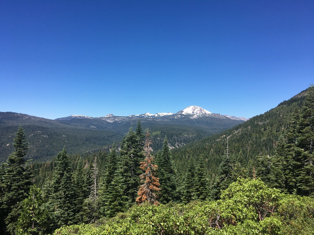 Photo: NAParish, CC BY-SA 2.0 (via Flickr)
Mount Harkness Trail
~26 min drive
9.88-mile out-and-back hike in California with 3,611 ft elevation gain.
HIKE
Pacific Crest National Scenic Trail #2000
~26 min drive
6.96-mile out-and-back on the Pacific Crest Trail in California with 5,143 ft gain/loss
HIKE
Mount Harkness Fire Lookout
~26 min drive
Perched atop Mt. Harkness in the southeast corner of Lassen Volcanic National Park, Mount Harkness Fire Lookout has served as an active fire lookout and visitor destination since its construction in 1930. The rustic style two-story wood and stone structure sits at 8,046 feet…
HIKE
NORTH FORK FISHING TRAIL
~18 min drive
2.84-mile out-and-back hike in California with 1,222 ft elevation gain and loss.
HIKE
LOWER YELLOW CREEK
~12 min drive
13.32-mile out-and-back trail in California with 2,220 ft elevation gain
HIKE
Fanani Soldier
~6 min drive
1.88-mile out-and-back trail in California with 338 ft elevation gain.
HIKE
Belden
~19 min drive
6.08-mile out-and-back trail in California with 674 ft elevation gain.
HIKE
Soda Creek
~19 min drive
10.11-mile out-and-back trail in California with 1,442 ft gain.

