Mount Harkness Trail
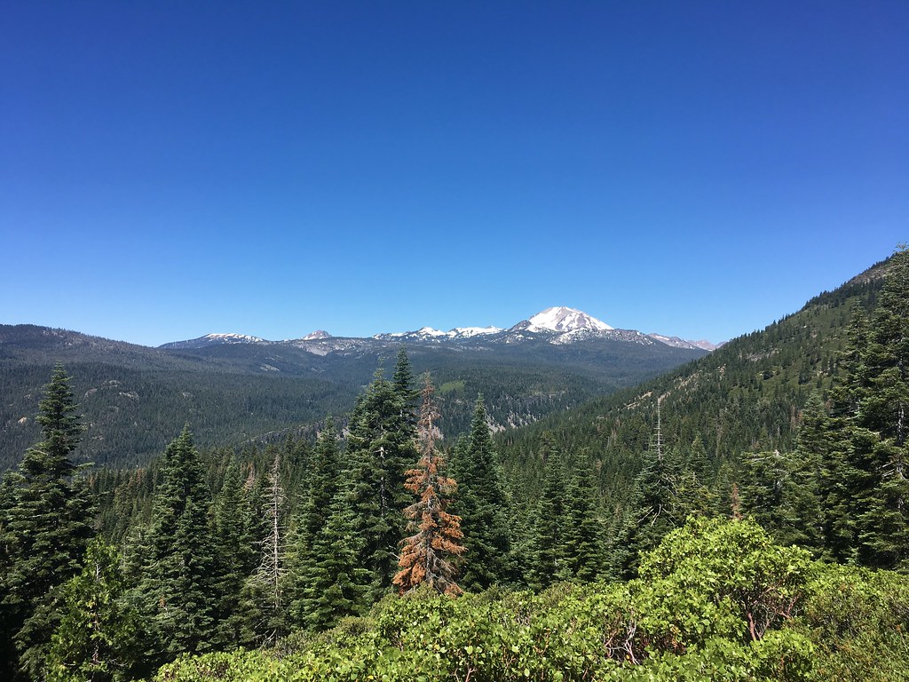 Photo: NAParish, CC BY-SA 2.0 (via Flickr)
- 4.9 mi
- round trip
- 3,611 ft
- climb
- 7,777 ft
- high point
- Out and back
- route
Caution at last check
Agency alerts are in effect for this area; weather is good · USFS, OpenWeather · checked 22 h ago
Is Mount Harkness Trail open right now?
Closure in the area
There's a closure order in Lassen Volcanic National Park. It doesn't name Mount Harkness Trail, so check the source for the area it covers (4 listed).
Lassen National Park Highway Closed to Vehicle Traffic
Park closure covering Lassen Volcanic National Park · NPS · Lassen Volcanic National Park
Harmful Algal Blooms
Agency closure covering Lassen National Forest · USFS · Lassen National Forest
Forest Road Closure Order
Agency closure covering Lassen National Forest · Order 06-26-01 · USFS · Lassen National Forest
SAFETY ALERT - South Antelope Bridge out, Do Not Cross
Agency closure covering Lassen National Forest · USFS · Lassen National Forest
As of · Source: NPS · Lassen Volcanic National Park. Agencies don't list every closure — check before you go.
Mount Harkness Trail is a hard hike in Lassen Volcanic National Park, California, managed by the National Park Service. The route is an out-and-back of about 10 miles, with a total elevation gain of about 3,600 feet. The trail starts at the Mt Harkness-Warner Valley Trailhead, and the climb is rolling, with the steepest stretch at about 0.35 miles from the start, where the grade reaches 29%. The high point is 7,777 feet, and the low point is 5,304 feet. The trail crosses land units in the Almanor Ranger District of Lassen National Forest and within Lassen Volcanic National Park. Plan for about five hours on the trail. Several other destinations sit within a few miles. Kelly Camp Trail and Juniper Lake Loop Trail are both about a mile away, and Juniper Lake Group campground is about 2.7 miles off. Climbers can find The Loading Zone about 2.8 miles away.
- Kelly Camp TrailHiking1.2 mi
- Juniper Lake Loop TrailHiking1.3 mi
- Indian Lake TrailHiking1.3 mi
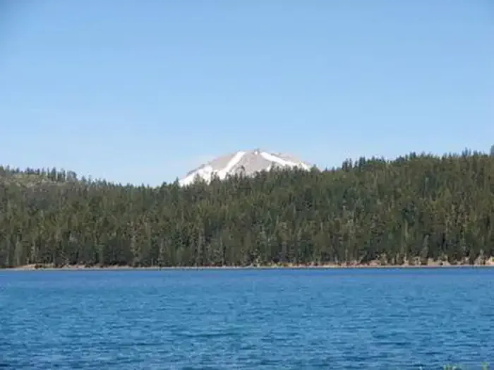 Juniper Lake GroupCampingPhoto: Recreation.gov (RIDB) / public domain2.7 mi
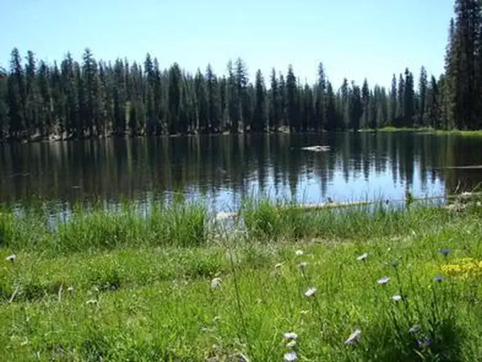 Juniper Lake Stock CorralCampingPhoto: Recreation.gov (RIDB) / public domain2.7 mi
- The Loading ZoneRock climbing2.8 mi
 The Fallout ZoneRock climbingPhoto: Ken Lund, CC BY-SA 2.0 (via Flickr)2.9 mi
- Domingo SpringsCamping4.7 mi
Source: Roamze catalog (indexable pages within 10 miles, PostGIS distance)
- Mount Harkness Fire LookoutHiking · ~3 min drive
- Warner Valley Day Use AreaHiking · ~5 min drive
 Horseshoe Lake TrailHiking · ~7 min drivePhoto: inkknife_2000 (7.5 million views +), CC BY-SA 2.0 (via Wikimedia Commons)
 Pacific Crest TrailHiking · ~7 min drivePhoto: inkknife_2000 (7.5 million views +), CC BY-SA 2.0 (via Wikimedia Commons)
 Bear Lakes TrailHiking · ~10 min drivePhoto: inkknife_2000 (7.5 million views +), CC BY-SA 2.0 (via Wikimedia Commons)
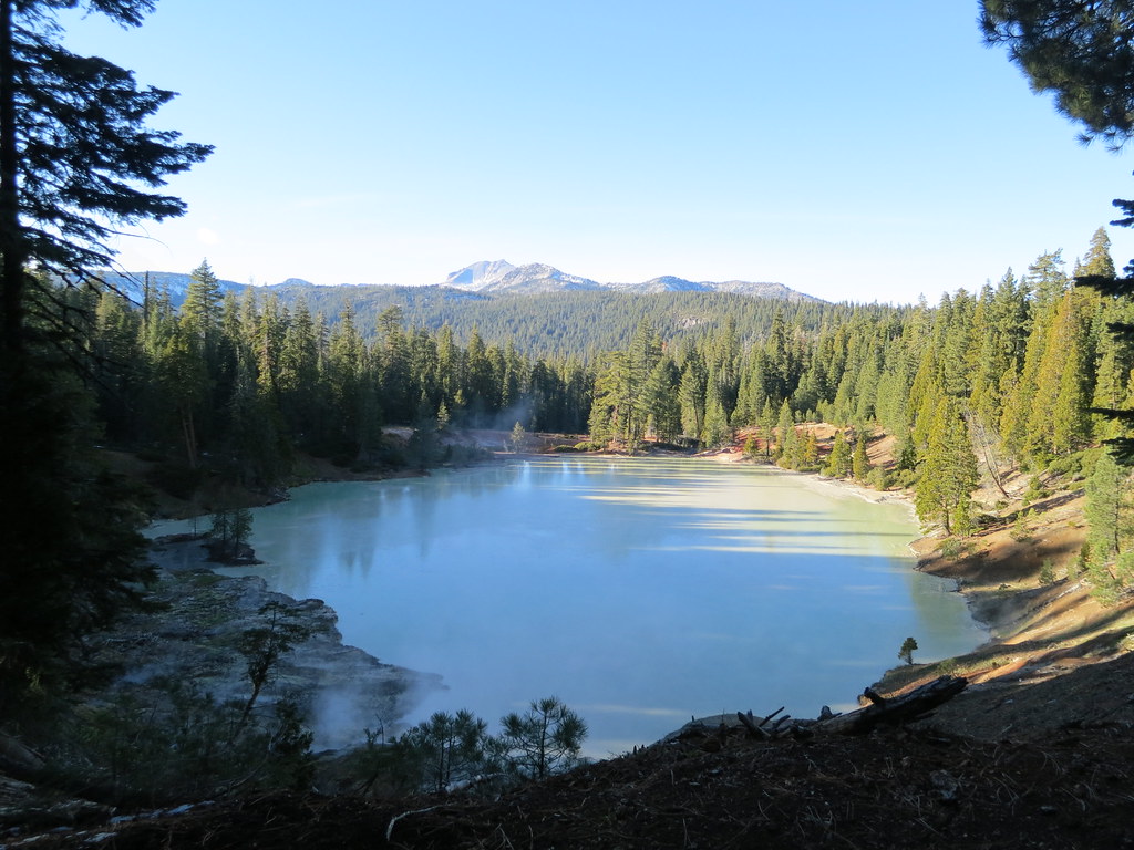 Terminal Geyser TrailHiking · ~4 min drivePhoto: estro, CC BY-SA 2.0 (via Flickr)
- Drakesbad Guest RanchHiking · ~6 min drive
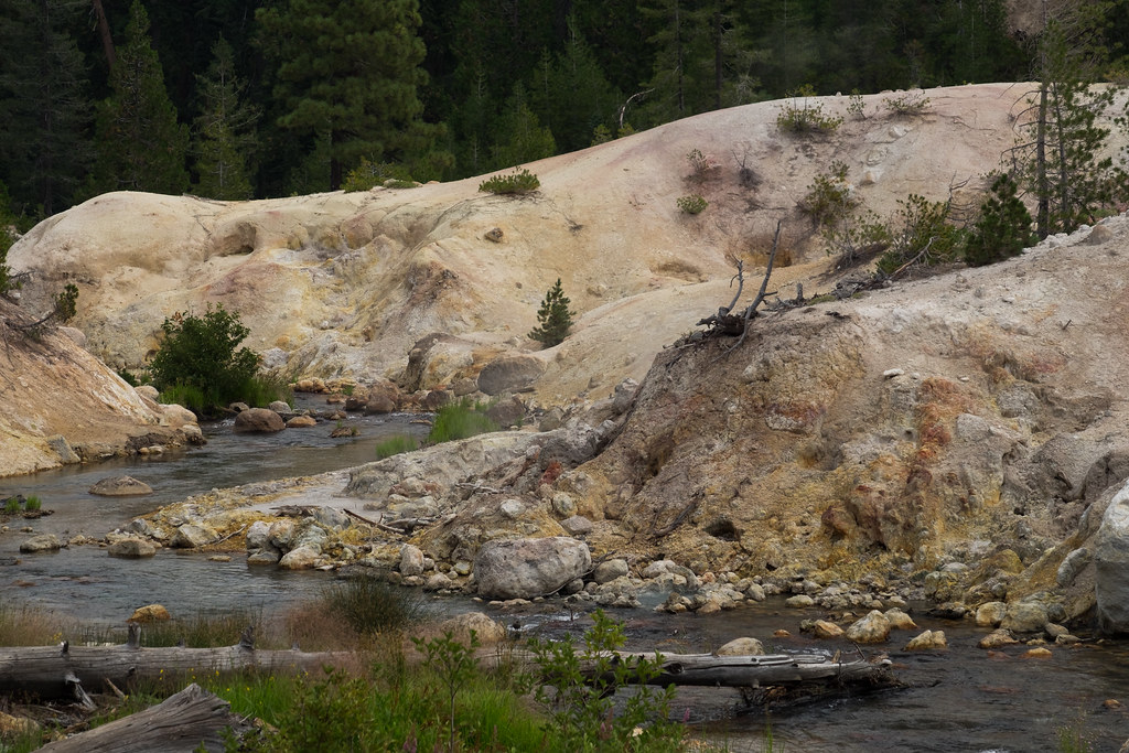 Drake Lake TrailHiking · ~8 min drivePhoto: Justin Dolske, CC BY-SA 2.0 (via Flickr)
- Kelly Camp TrailHiking · ~2 min drive
 Crystal Lake TrailHiking · ~5 min drivePhoto: ray_explores, CC BY 2.0 (via Flickr)

Map and trail data © OpenStreetMap contributors
