Granite Lake
 Photo: ilya_ktsn, CC BY 2.0 (via Flickr)
- 13.9 mi
- round trip
- 3,212 ft
- climb
- 7,472 ft
- high point
- Out and back
- route
Is Granite Lake open right now?
Closure in the area
There's a closure order in Shasta-Trinity National Forest. It doesn't name Granite Lake, so check the source for the area it covers (2 listed).
Mud and Ash Creek Area and Road Closure
Agency closure covering Shasta-Trinity National Forest · Order 14-26-13 · USFS · Shasta-Trinity National Forest
Road Closure on Wild Mad Road
Agency closure covering Shasta-Trinity National Forest · Order 14-25-09 · USFS · Shasta-Trinity National Forest
Bailey Cove Road Closure Order
Agency alert covering Shasta-Trinity National Forest · Order 14-25-11 · USFS · Shasta-Trinity National Forest
Trout Creek Bridge Closure Order
Agency alert covering Shasta-Trinity National Forest · Order 14-26-02 · USFS · Shasta-Trinity National Forest
South Fork Suspension Bridge Closure
Agency alert covering Shasta-Trinity National Forest · Order 14-25-30 · USFS · Shasta-Trinity National Forest
As of · Source: USFS · Shasta-Trinity National Forest. Agencies don't list every closure — check before you go.
Granite Lake is a hard hike in the Trinity Alps Wilderness, part of the Weaverville Ranger District of Shasta-Trinity National Forest in northern California. The route is an out-and-back that climbs from about 4,300 feet to 7,470 feet, a total gain of 3,212 feet over roughly 14 miles. The trail is on natural surface and allows horses, but not bikes. The Forest Service manages the land, and the trip runs from about May 1 to November 28. Swift Creek and the Swift Creek Trail both sit about a mile away, and Bear Basin and Parker Creek are each about 2 miles off. For an overnight base, Preacher Meadow Campground is about 4.7 miles away.
- Swift CreekCanoeing1 mi
- Swift Creek TrailHiking1 mi
- Bear BasinHiking2 mi
- Parker CreekHiking2 mi
- Trinity Unit - National Recreation AreaLake fishing2.5 mi
- Preacher Meadow Cg-FCamping4.7 mi
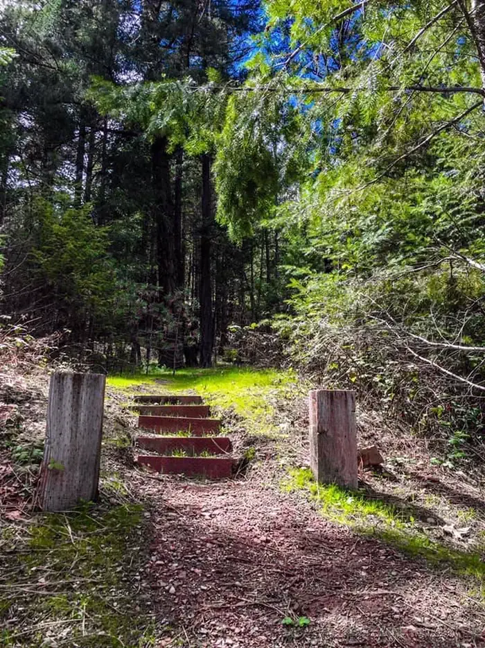 Mary Smith CampgroundCampingPhoto: Recreation.gov (RIDB) / public domain6.5 mi
- Trinity AlpsRock climbing7.9 mi
Source: Roamze catalog (indexable pages within 10 miles, PostGIS distance)
 Landers LakeHiking · ~6 min drivePhoto: ilya_ktsn, CC BY 2.0 (via Flickr)
- Sunrise CreekHiking · ~7 min drivePhoto: ilya_ktsn, CC BY 2.0 (via Flickr)
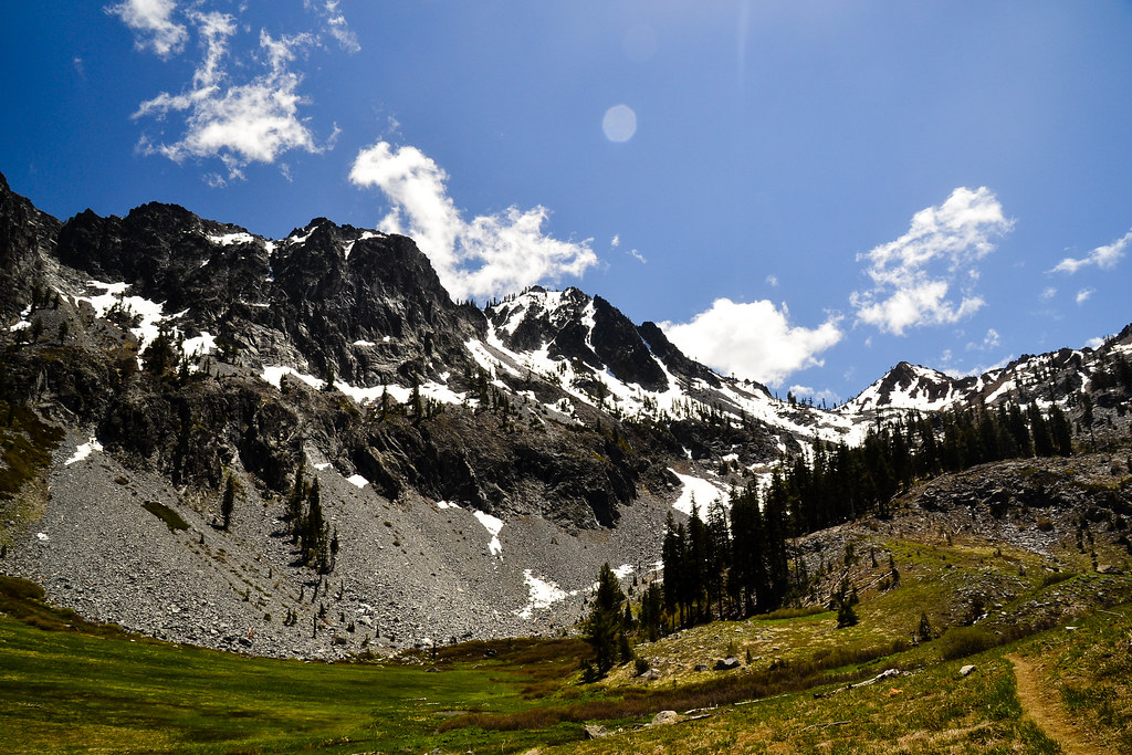 Cow Camp SpurHiking · ~8 min drivePhoto: ilya_ktsn, CC BY 2.0 (via Flickr)
- Swift Creek TrailHiking · ~2 min drive
 Mumford Basin Trail (Not Maintained)Hiking · ~6 min drivePhoto: ilya_ktsn, CC BY 2.0 (via Flickr)
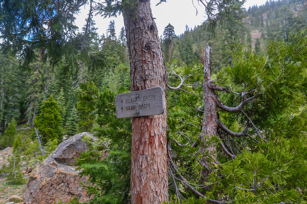 Blacks BasinHiking · ~8 min drivePhoto: ilya_ktsn, CC BY 2.0 (via Flickr)
 Siligo Spur Trail (09W21A)Hiking · ~8 min drivePhoto: ilya_ktsn, CC BY 2.0 (via Flickr)
- Long CanyonHiking · ~7 min drive
- Parker CreekHiking · ~3 min drive
 Ward LakeHiking · ~8 min drivePhoto: ilya_ktsn, CC BY 2.0 (via Flickr)
