Deadman
Campground
Campground · 2.5 mi from the trail
 Photo: farktronix, CC BY 2.0 (via Flickr)
Closure in the area
There's a closure order in Stanislaus National Forest. It doesn't name Kennedy Lake, so check the source for the area it covers (2 listed).
Stanislaus National Forest extends seasonal MVUM closure for two high elevation roads
Agency closure covering Stanislaus National Forest · USFS · Stanislaus National Forest
Extension of Seasonal Road Closures
Agency closure covering Stanislaus National Forest · USFS · Stanislaus National Forest
As of · Source: USFS · Stanislaus National Forest. Agencies don't list every closure — check before you go.
Kennedy Lake is a hard hike in California's Emigrant Wilderness, part of the Summit Ranger District of Stanislaus National Forest. The trail is an out-and-back of about 9 miles, with a total elevation gain of 775 feet from the low point at 7,074 feet to the high point at 7,807 feet. The Forest Service manages the land, and the route is on natural surface, with horses allowed but bikes not. Summer is the most comfortable time to go. Typical averages from the nearby Bridgeport weather station show July highs around 85°F and lows near 43°F, while winter brings highs in the mid-40s and a few snow days a month from December through February. That station sits about 1,300 feet lower than the trail, so temperatures on the route run cooler. The Relief Reservoir Trail starts less than a mile away, and the Salt Spring Trail is about 0.9 miles off. For an overnight stay, Deadman Campground is about 2.5 miles away, and Kennedy Creek offers canoeing about 3 miles out.
Deadman
Campground
Last Chance Saloon
Bar
Places © OpenStreetMap contributors
More in Bear ValleyRelief Reservoir TrailHikingPhoto: farktronix, CC BY 2.0 (via Flickr)0.6 mi Trail 458411010602Mountain bikingPhoto: Jane S. Richardson (talk · contribs), CC BY 3.0 (via Wikimedia Commons)0.9 mi
 Chipmunk FlatRock climbingPhoto: RuggyBearLA, CC BY 2.0 (via Flickr)3.9 mi
 Columns of the GiantsRock climbingPhoto: GSEC, CC BY 2.0 (via Flickr)5.4 mi
Source: Roamze catalog (indexable pages within 10 miles, PostGIS distance)
Relief Reservoir TrailHiking · Next doorPhoto: farktronix, CC BY 2.0 (via Flickr) Relief ValleyHiking · ~4 min drivePhoto: farktronix, CC BY 2.0 (via Flickr)
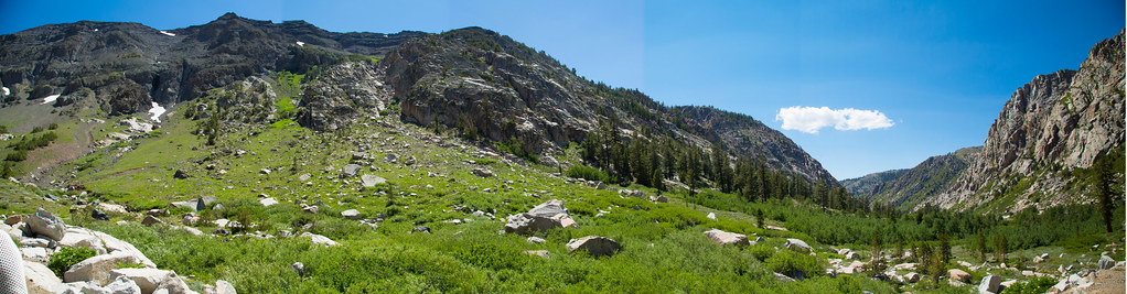 Blue CanyonHiking · ~7 min drivePhoto: zoxcleb, CC BY-SA 2.0 (via Flickr)Columns of the Giants TrailHiking · ~10 min drivePhoto: GSEC, CC BY 2.0 (via Flickr)
 Stanislaus PeakHiking · ~10 min drivePhoto: Moo.The.Cow, CC BY 2.0 (via Flickr)
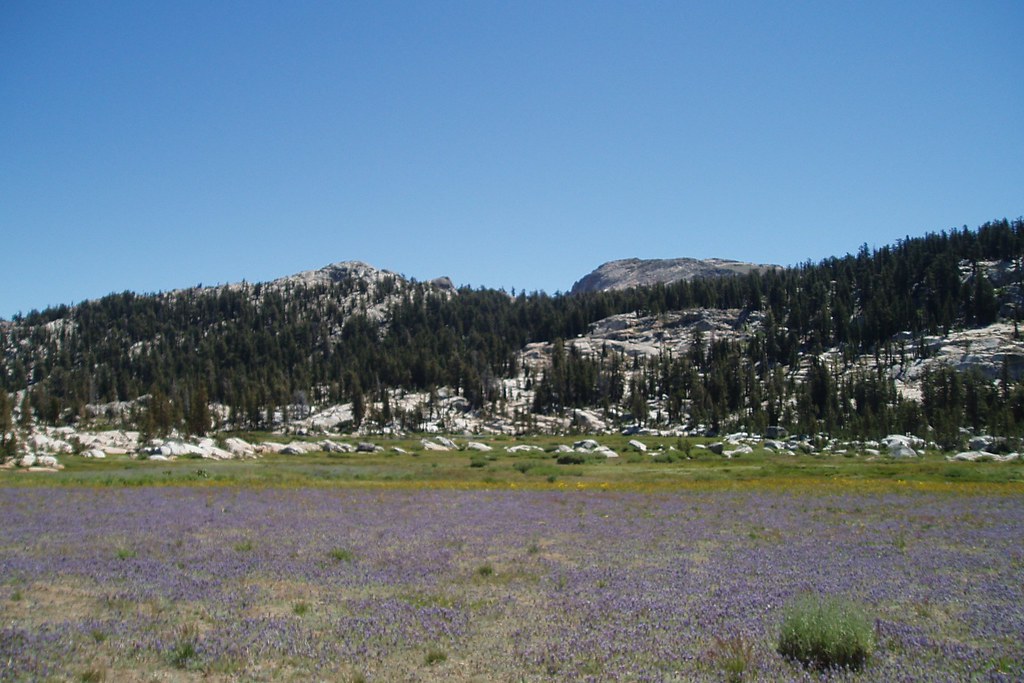 Whitesides MeadowHiking · ~9 min drivePhoto: Tom Hilton, CC BY 2.0 (via Flickr)
 Long Lake TrailHiking · ~13 min drivePhoto: Tom Hilton, CC BY 2.0 (via Flickr)
 Leavitt LakeHiking · ~11 min drivePhoto: GSEC, CC BY 2.0 (via Flickr)
Also worth it near here
Best months: May–September. Best months have typical highs of 55–85 °F, lows of 30 °F or warmer (32 °F where the station doesn't record snow), at most one snowy day and no more than 12 wet days.
Jan
43° / 10°
5 wet · 4 snow
Feb
45° / 13°
5 wet · 3 snow
Mar
52° / 20°
4 wet · 3 snow
Apr
59° / 25°
3 wet · 1 snow
May
67° / 32°
3 wet · 1 snow
Jun
77° / 39°
2 wet
Jul
85° / 43°
3 wet
Aug
84° / 41°
2 wet
Sep
78° / 34°
2 wet
Oct
66° / 24°
2 wet
Nov
55° / 17°
3 wet · 1 snow
Dec
45° / 12°
5 wet · 3 snow
Typical high / low (°F) and days with rain or snow, 1991–2020. Measured at Bridgeport, CA, 27.2 mi away at 6,470 ft. The station sits about 1,300 ft lower than this place, so expect it a little cooler here. Source: NOAA NCEI U.S. Climate Normals 1991–2020.

