Indian Trail
- 2.5 mi
- round trip
- 115 ft
- climb
- 1,498 ft
- high point
- Out and back
- route
- Oct–Apr
- best months
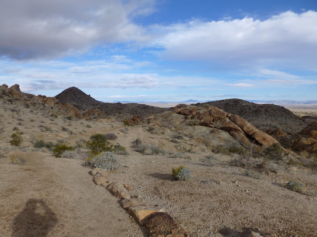
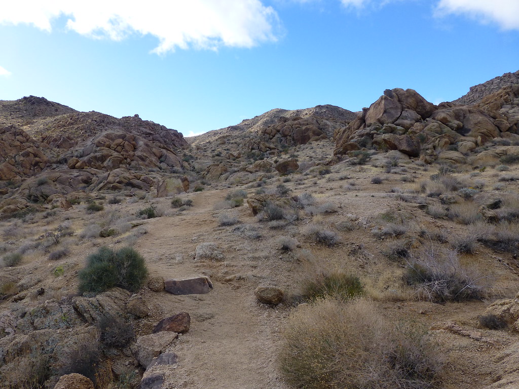
Indian Trail is a short, easy hike in California's Santos Manuel Area of Critical Environmental Concern, managed by the Bureau of Land Management. The route is an out-and-back of about 4.9 miles, with a total elevation gain of 115 feet. It starts and ends at about 1,383 feet, and the high point is 1,498 feet. The climb is flat, so the trail is a gentle walk rather than a steep ascent. Spring and fall are the most comfortable times to go. Typical averages from the nearby Twentynine Palms weather station show March highs around 74°F and October highs around 85°F, while June and July average in the upper 90s to over 100°F. That station sits about 477 feet higher than the trail, so temperatures on the trail run a little warmer. The hike takes about 1.5 hours. The Nevada Trail lies about 3.9 miles away, and Highway 62 Crags, a climbing area, is about 9.5 miles off.
Source: Roamze catalog (indexable pages within 10 miles, PostGIS distance)
- Oasis of Mara TrailheadHiking · ~19 min drive
- Desert Tortoise (Contact Mine)Hiking · ~22 min drive
 Fortynine Palms TrailHiking · ~27 min drivePhoto: neighborhoods.org, CC BY-SA 2.0 (via Flickr)
- California Riding and Hiking Trail at Geology Tour RoadHiking · ~33 min drive
 Elk TrailHiking · ~27 min drivePhoto: neighborhoods.org, CC BY-SA 2.0 (via Flickr)
- Indian TrailHiking · ~4 min drive
- California Riding and Hiking TrailHiking · ~22 min drive
 Arch Rock TrailHiking · ~29 min drivePhoto: dconvertini, CC BY-SA 2.0 (via Flickr)
- Contact Mine TrailHiking · ~22 min drive
- Old Chisholm TrailHiking · ~29 min drive
Best time to visit Indian Trail
Best months: October–April. Best months have typical highs of 55–85 °F, lows of 30 °F or warmer (32 °F where the station doesn't record snow), at most one snowy day and no more than 12 wet days.
Jan
63° / 42°
3 wet
Feb
67° / 44°
3 wet
Mar
74° / 49°
2 wet
Apr
81° / 55°
1 wet
May
90° / 63°
1 wet
Jun
99° / 71°
0 wet
Jul
104° / 77°
2 wet
Aug
103° / 76°
2 wet
Sep
96° / 69°
2 wet
Oct
85° / 58°
1 wet
Nov
72° / 47°
1 wet
Dec
62° / 40°
2 wet
Typical high / low (°F) and days with rain or snow, 1991–2020. Measured at Twentynine Palms, CA, 11.3 mi away at 1,975 ft. This station doesn't record snowfall. Source: NOAA NCEI U.S. Climate Normals 1991–2020.


Map and trail data © OpenStreetMap contributors
