Old Chisholm Trail
- 6.1 mi
- round trip
- 836 ft
- climb
- 2,447 ft
- high point
- Out and back
- route
- Oct–Apr
- best months
Clear at last check
Weather is good · OpenWeather · checked 13 h ago
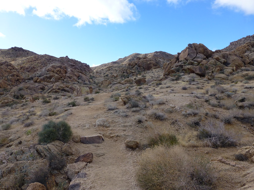
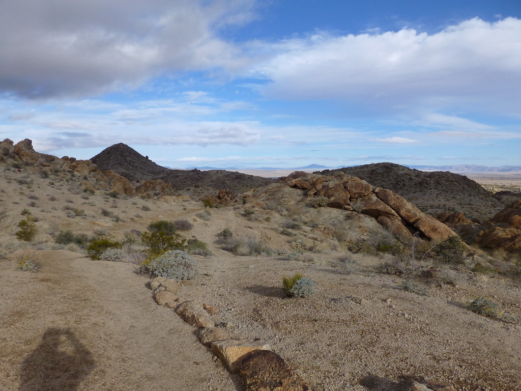
Old Chisholm Trail is a 12-mile out-and-back hike on Bureau of Land Management land within the Barstow Field Office in California. The route climbs about 836 feet from its starting point at 1,975 feet to a high of 2,447 feet, and the total trip includes equal amounts of gain and loss. The trail is rated hard, and the steepest stretch comes at about 2.9 miles, where the grade reaches 7 percent. Spring and fall are the most comfortable times to go. Typical averages from the nearby Joshua Tree weather station show April highs around 77°F with lows near 47°F and October highs around 82°F, while July and August average about 100°F. The hike takes roughly 4.5 hours. Other trails sit close by, including Jackrabbit Trail about 0.8 miles away and Pioneer Trail about 1.3 miles away. Climbers can head to Parking Lot Rocks, about 6.6 miles off, or The Monkey's Paw, about 6.9 miles away.
- Jackrabbit TrailHiking0.8 mi
- Pioneer TrailHiking1.3 mi
- Indian TrailHiking1.5 mi
- Papoose TrailHiking2.3 mi
 Parking Lot RocksRock climbingPhoto: Art Anderson, CC BY-SA 3.0 (via Wikimedia Commons)6.6 mi
- The Monkey's PawRock climbing6.9 mi
- Indian Cove BoulderingRock climbing7 mi
- (f) Del Taco Crags AreaRock climbing7.1 mi
Source: Roamze catalog (indexable pages within 10 miles, PostGIS distance)
 Elk TrailHiking · ~10 min drivePhoto: neighborhoods.org, CC BY-SA 2.0 (via Flickr)
 Fortynine Palms TrailHiking · ~11 min drivePhoto: neighborhoods.org, CC BY-SA 2.0 (via Flickr)
- Indian Cove Wilderness Backpacking BoardHiking · ~11 min drive
 Panorama TrailHiking · ~19 min drivePhoto: Brück & Sohn Kunstverlag Meißen, CC0 (via Wikimedia Commons)
- Indian Cove TrailheadHiking · ~13 min drive
- Oasis of Mara TrailheadHiking · ~15 min drive
 Big Pine TrailHiking · ~15 min drivePhoto: Lukáš Lalinský, CC BY-SA 2.0 (via Flickr)
 Burro Loop TrailHiking · ~15 min drivePhoto: morrisonbrett, CC BY 2.0 (via Flickr)
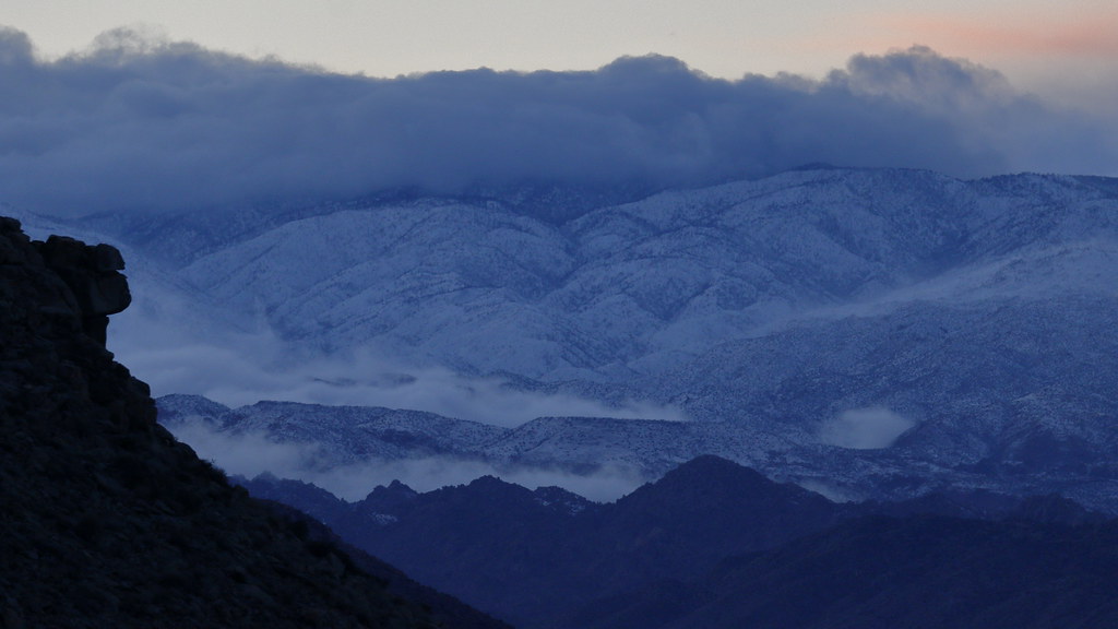 West Access TrailHiking · ~16 min drivePhoto: blachswan, CC BY 2.0 (via Flickr)
 Maze Loop TrailHiking · ~16 min drivePhoto: Vadim Manuylov, CC BY-SA 3.0 (via Wikimedia Commons)
Best time to visit Old Chisholm Trail
Best months: October–April. Best months have typical highs of 55–85 °F, lows of 30 °F or warmer (32 °F where the station doesn't record snow), at most one snowy day and no more than 12 wet days.
Jan
60° / 38°
3 wet
Feb
63° / 39°
3 wet
Mar
70° / 43°
2 wet
Apr
77° / 47°
1 wet
May
86° / 54°
0 wet
Jun
95° / 61°
0 wet
Jul
101° / 70°
2 wet
Aug
100° / 70°
2 wet
Sep
93° / 64°
2 wet
Oct
82° / 52°
1 wet
Nov
69° / 43°
2 wet
Dec
60° / 36°
3 wet
Typical high / low (°F) and days with rain or snow, 1991–2020. Measured at Joshua Tree, CA, 8.3 mi away at 2,563 ft. This station doesn't record snowfall. Source: NOAA NCEI U.S. Climate Normals 1991–2020.

Map and trail data © OpenStreetMap contributors
