Indian Falls Ridge
- 11.2 mi
- loop
- 2,634 ft
- climb
- 6,919 ft
- high point
- Loop
- route
Caution at last check
Agency alerts are in effect for this area; weather is good · USFS, OpenWeather · checked 20 h ago
Is INDIAN FALLS RIDGE open right now?
Alert in the area
The Forest Service lists an alert for Plumas National Forest.
Stage I Fire Restrictions - Plumas National Forest
Agency alert covering Plumas National Forest · Order 05-11-26-04 · USFS · Plumas National Forest
As of · Source: USFS · Plumas National Forest. Agencies don't list every closure — check before you go.
Indian Falls Ridge is a 11.2-mile hike in California's Plumas National Forest, within the Mt. Hough Ranger District. The Forest Service manages the surrounding land, and the route is rated hard. The trail climbs from a start at 6,919 feet to a high point of 6,919 feet, which makes it a loop or out-and-back with a total elevation gain of 2,634 feet and a total descent of 2,676 feet. The steepest stretch comes at about 4.3 miles in, where the grade reaches 32%. The trip takes about five hours. That gives time to plan around the route's length and the climb, which is steep and involves both gain and loss over the course of the hike. Several other trails and campgrounds sit within a short distance. Indian Falls Ridge 2 and Clear Creek Trail are both about 1.2 miles away, and Clear Creek Connector is about 1.3 miles off. Spanish Creek Campground is about 1.6 miles away.
- Indian Falls Ridge 2Hiking1.2 mi
- Clear Creek TrailHiking1.2 mi
- CLEAR CREEK CONNECTORHiking1.3 mi
- Spanish Creek (Family Cg)Camping1.6 mi
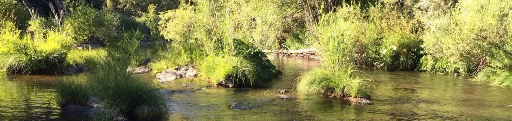 Spanish Creek CampgroundCampingPhoto: Recreation.gov (RIDB) / public domain1.6 mi
- Crystal LakeRock climbing3 mi
- Rush CreekCanoeing6.6 mi
- Spanish CreekCanoeing7.6 mi
Source: Roamze catalog (indexable pages within 10 miles, PostGIS distance)
- Indian Falls Ridge 2Hiking · ~2 min drive
- CLEAR CREEK CONNECTORHiking · ~2 min drive
- Cascade TrailHiking · ~4 min drive
- Tollgate TrailHiking · ~4 min drive
- Clear Creek TrailHiking · ~2 min drive
- MT HOUGH RIDGEHiking · ~5 min drive
- Taylor Creek TrailHiking · ~10 min drive
- CLEAR CREEK TIEHiking · ~4 min drive
- Mount Hough Summit ConnectorHiking · ~5 min drive
- TAYLOR CREEKHiking · ~10 min drive
