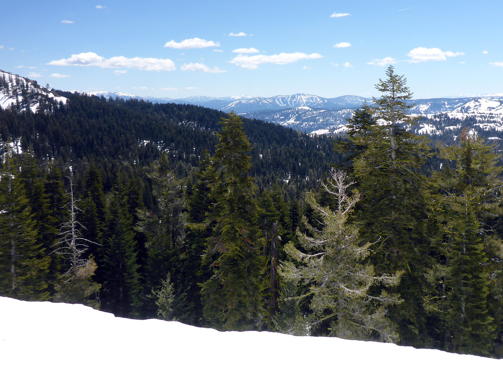
Castle Peak
Campground
Campground · 0.5 mi from the trail
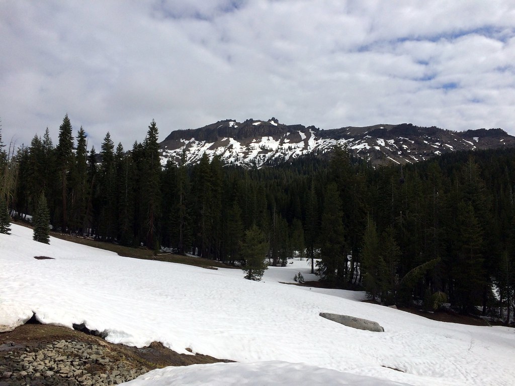 Photo: scorpio-tiger, CC BY-SA 2.0 (via Flickr)
Alert in the area
The Forest Service lists an alert for Tahoe National Forest.
Camping and Campfire Restrictions-Truckee and Sierraville Districts
Agency alert covering Tahoe National Forest · Order 17-25-05 · USFS · Tahoe National Forest
As of · Source: USFS · Tahoe National Forest. Agencies don't list every closure — check before you go.
Hole in the Ground is a hard hike in California's Tahoe National Forest, within the Truckee Ranger District. The route is an out-and-back of about 16.6 miles, with a one-way elevation gain of 1,324 feet, taking you from a low point of 7,121 feet to a high of 8,072 feet. The Forest Service manages the land, and the trail is natural-surfaced and open year-round. The climb is a long one, and the route is rated hard. Bikes are allowed, so it works for riders as well as hikers. The Pacific Crest Trail passes just 0.3 miles away, and the Donner Lake Rim Trail is about half a mile off. Climbers can head to Porcupine Boulders, roughly 0.6 miles away, and Lower Castle Creek offers canoeing about 1.5 miles from the trail.
Castle Peak
Campground
Donner Ski Ranch
Restaurant
Places © OpenStreetMap contributors
More in Sunnyside-Tahoe CityNot on Roamze yet. Their page has how to reach them.
Daily highs and lows, wind and the chance of precipitation at the summit and route start for the next 7 days, from the Open-Meteo model.
 Pacific Crest TrailHikingPhoto: ray_explores, CC BY 2.0 (via Flickr)0.3 miDonner Lake Rim TrailHikingPhoto: ray_explores, CC BY 2.0 (via Flickr)0.5 mi
Source: Roamze catalog (indexable pages within 10 miles, PostGIS distance)
Pacific Crest TrailHiking · Next doorPhoto: ray_explores, CC BY 2.0 (via Flickr)Donner Lake Rim TrailHiking · Next doorPhoto: ray_explores, CC BY 2.0 (via Flickr)Pacific Crest National Scenic Trail #2000Hiking · ~2 min drivePhoto: ray_explores, CC BY 2.0 (via Flickr) Pacific Crest National Scenic Trail #2000Hiking · ~6 min drivePhoto: ilya_ktsn, CC BY 2.0 (via Flickr)
 Castle Peak TrailHiking · ~1 min drivePhoto: simonov, CC BY-SA 2.0 (via Flickr)
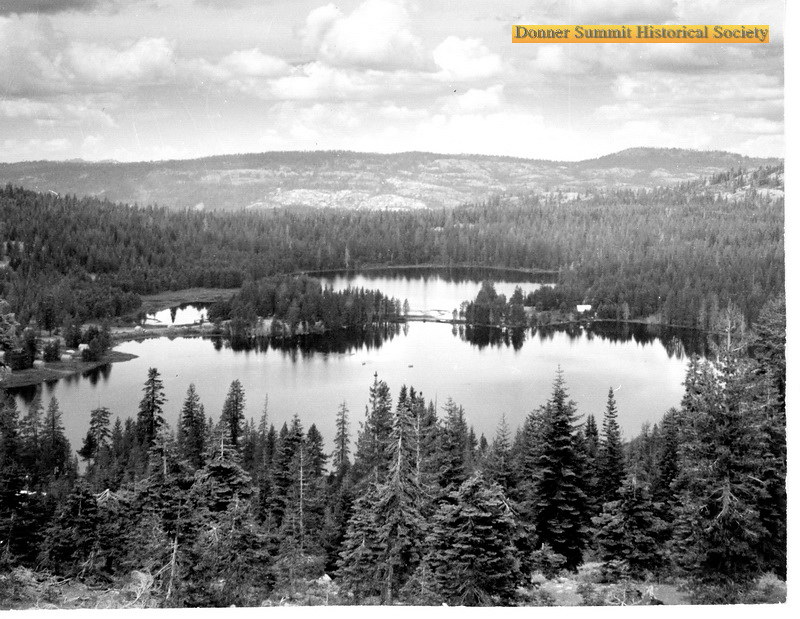 Walter and Esther Hewlett Royal Gorge Rim TrailHiking · ~6 min drivePhoto: donner summit historical society, Public Domain Mark (via Flickr)
 Sandridge LakeHiking · ~2 min drivePhoto: simonov, CC BY-SA 2.0 (via Flickr)Summit LakeHiking · ~2 min drivePhoto: ray_explores, CC BY 2.0 (via Flickr)
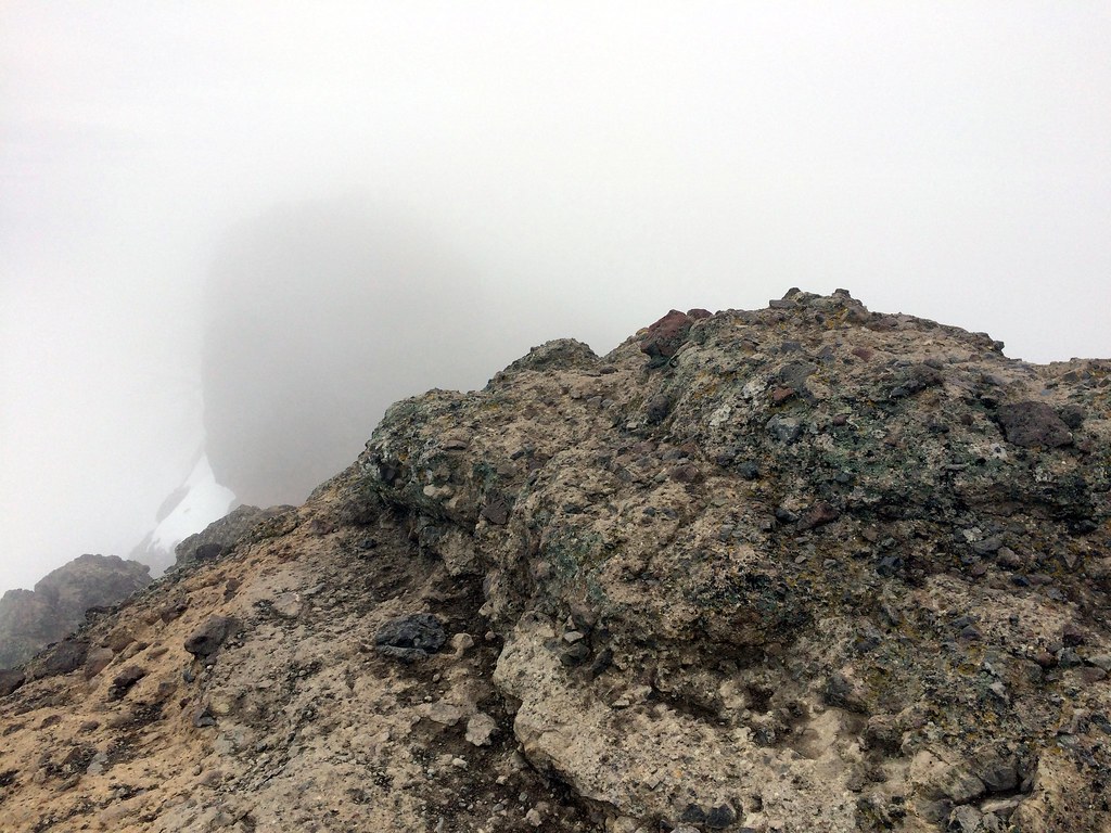 Warren LakeHiking · ~3 min drivePhoto: scorpio-tiger, CC BY-SA 2.0 (via Flickr)
 Hutchinson LoopHiking · ~4 min drivePhoto: Mrmariokartguy, CC BY 3.0 (via Wikimedia Commons)
Season: Year-round.
About 16.6 mi round trip.
About 1,324 ft of climbing round trip.
It is rated hard.
Year-round.