Loading…

Free — you'll pick up right here.
Watch this trail
Sign up to watch it — saving subscribes you to gate, closure and report changes.
California
6.8 mi
Distance
1,482 ft
Gain
We won't guess. Here is exactly what we do and don't know.
What we do know
Inside Tahoe National Forest
2 managing-area boundaries mapped — agency alerts for them feed this page automatically.
Boundary data
What's missing
No access route mapped
We don't yet know which road reaches this trailhead, so we can't tell you if it's gated.
Nobody's filed a report here yet — be the first.
Why you'll love it
High Grade Trail
AI-suggested draft · review before you go
No permit or access details on file for this trail — check with the local land manager before you go.
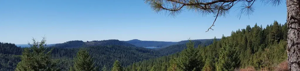
High Grade Trail offers a moderately challenging 6.8-mile out-and-back hike with nearly 1,500 feet of elevation gain, making it an excellent choice for hikers looking to build endurance. The trail features a steady climb through varied terrain typical of California's foothills, with rewarding views as you gain elevation. This well-established route provides a solid workout while remaining accessible to experienced recreational hikers.
Plum Valley Ditch
~0 min drive
Moderate 10.31-mile foothill trail with 2,363 ft elevation gain.
Lafayette Ridge
~4 min drive
Steady ridge climb with valley views near Lafayette.
Loney Meadows
~20 min drive
Easy meadow walk through California grasslands with minimal elevation gain.
Ridge Runner Trail
~2 min drive
Moderate 6-mile ridge hike with steady climbing and panoramic views.
Missouri Bar
~16 min drive
Easy riverside walk along the American River with minimal elevation gain.
Pfeiffer
~22 min drive
Easy 3.35-mile coastal hike with minimal elevation gain near Big Sur.
Truckee Ditch
~2 min drive
Historic 20.67-mile ditch trail through Sierra Nevada foothills near Truckee.
Brandy City Pond
~17 min drive
Easy 2-mile pond loop with 458 ft elevation gain near Brandy City.
Dascombe
~22 min drive
Easy 4.15-mile loop with 604 ft gain through California foothills.
Sandusky
~2 min drive
Moderate 10.24-mile trail with 1,343 ft gain near Sandusky, California.