Bear Ridge Youth Camp
Campground
Campground · 3.3 mi from the trail
Alert in the area
The Forest Service lists an alert for Tahoe National Forest.
Camping and Campfire Restrictions-Truckee and Sierraville Districts
Agency alert covering Tahoe National Forest · Order 17-25-05 · USFS · Tahoe National Forest
As of · Source: USFS · Tahoe National Forest. Agencies don't list every closure — check before you go.
Bedbug Smith Trail is a moderate out-and-back hike in California's Tahoe National Forest, within the Yuba River Ranger District. The trail is about 0.8 miles long, and the round trip climbs about 1,550 feet, with the high point at 5,140 feet. The route starts at that high point and descends to a low of about 4,148 feet before returning. The most comfortable months for a visit are typically June through September, when typical averages from the nearby Bowman Dam weather station run from highs around 73°F in June to about 82°F in July, with lows in the mid-50s. Winter is cold, with typical January highs near 46°F and lows around 29°F. The hike takes about 1.5 hours. The trail is managed by the Forest Service, and the surrounding area offers more to explore. The Middle Yuba River and Wolf Creek, both canoeing spots, are within about a mile and a half. Tehama Ravine Trail is about 1.7 miles away, and Union Flat campground is roughly 6.8 miles off.
Bear Ridge Youth Camp
Campground
Casey's Place
Bar
Firehouse Number 1 Museum
Museum
Places © OpenStreetMap contributors
More in Nevada CityNot on Roamze yet. Their page has how to reach them.
 B - WordRock climbingPhoto: MarkDoliner, CC BY-SA 2.0 (via Flickr)5.5 mi
Source: Roamze catalog (indexable pages within 10 miles, PostGIS distance)
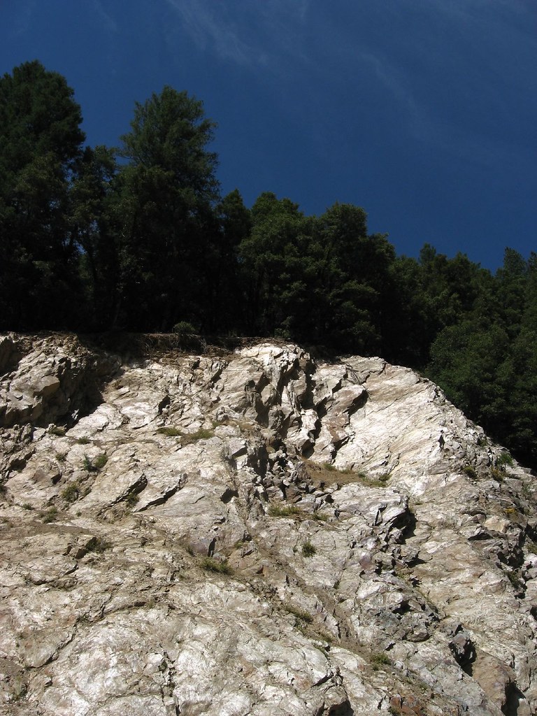 Cleveland Mine TrailHiking · ~12 min drivePhoto: Ken Lund, CC BY-SA 2.0 (via Flickr)
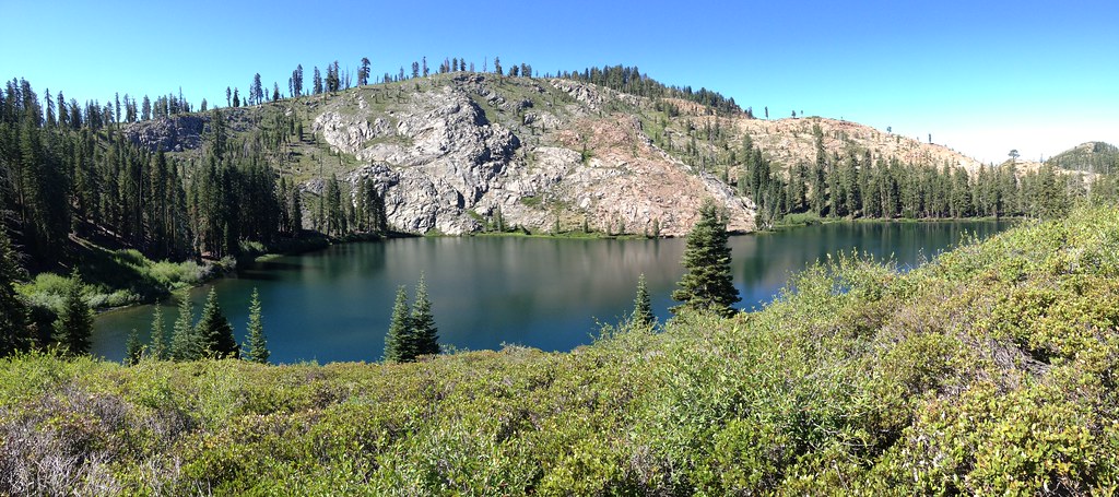 Round LakeHiking · ~17 min drivePhoto: ray_explores, CC BY 2.0 (via Flickr)
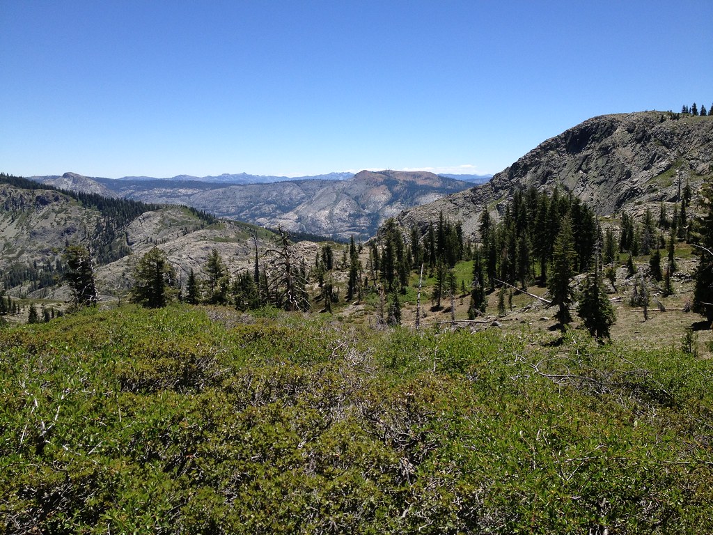 Sanford LakeHiking · ~17 min drivePhoto: ray_explores, CC BY 2.0 (via Flickr)
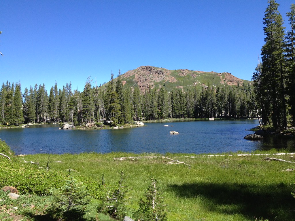 Crooked Lakes TrailHiking · ~15 min drivePhoto: ray_explores, CC BY 2.0 (via Flickr)Glacier LakeHiking · ~17 min drivePhoto: ray_explores, CC BY 2.0 (via Flickr)
 Downey LakeHiking · ~17 min drivePhoto: ray_explores, CC BY 2.0 (via Flickr)
Best months: April–October. Best months have typical highs of 55–85 °F, lows of 30 °F or warmer (32 °F where the station doesn't record snow), at most one snowy day and no more than 12 wet days.
Jan
46° / 29°
Feb
47° / 28°
Mar
49° / 30°
Apr
55° / 33°
May
64° / 40°
Jun
73° / 47°
Jul
82° / 54°
Aug
81° / 54°
Sep
77° / 51°
Oct
66° / 42°
Nov
54° / 34°
Dec
45° / 29°
Typical high / low (°F) and days with rain or snow, 1991–2020. Measured at Bowman Dam, CA, 5.6 mi away at 5,385 ft. This station doesn't record snowfall. Source: NOAA NCEI U.S. Climate Normals 1991–2020.
Map and trail data © OpenStreetMap contributors
