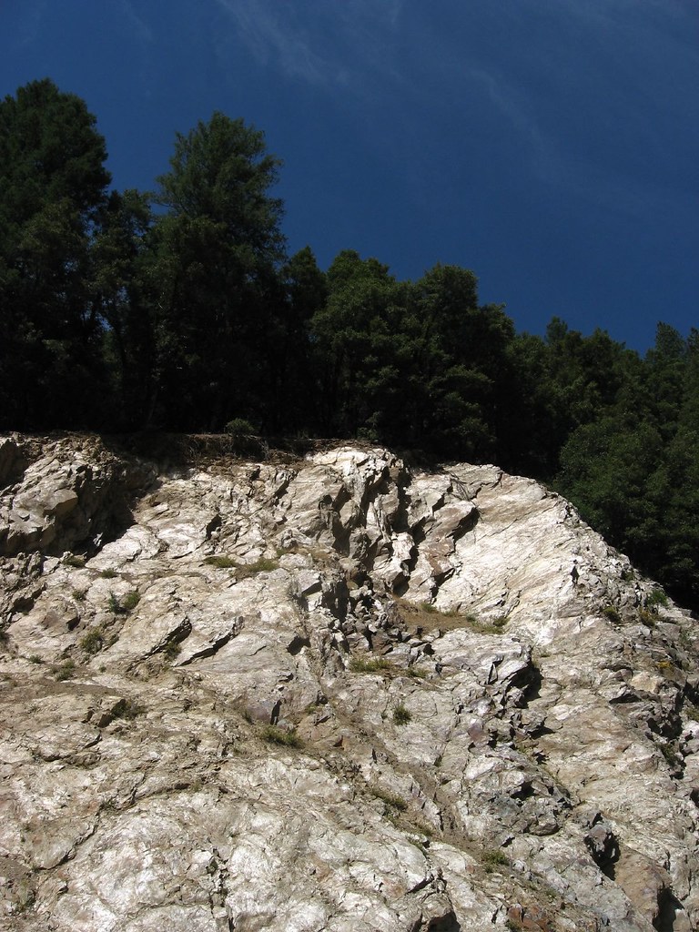
Downie River
 Photo: Ken Lund, CC BY-SA 2.0 (via Wikimedia Commons)
- 6.9 mi
- distance
- 3,828 ft
- high point
- Apr–Jun, Sep–Nov
- best months
Is Downie River open right now?
Alert in the area
The Forest Service lists an alert for Tahoe National Forest.
Camping and Campfire Restrictions-Truckee and Sierraville Districts
Agency alert covering Tahoe National Forest · Order 17-25-05 · USFS · Tahoe National Forest
As of · Source: USFS · Tahoe National Forest. Agencies don't list every closure — check before you go.
The Downie River is a 6.8-mile paddling stretch near Downieville, California, in the Yuba River Ranger District of Tahoe National Forest. The U.S. Forest Service manages the land along it, and the river flows year-round. USGS models put the average flow at about 283 cubic feet per second and the gradient at about 138.8 feet per mile. Late spring and early fall are the most comfortable times to paddle. Typical averages from a nearby weather station in Downieville show May highs around 72°F and October highs around 72°F, with only a few wet days in each month. That station sits about 900 feet lower than the river, so temperatures on the water run cooler. Several trails start close by, including the Oxford MC Trail about a mile away and the First Divide Trail at about 1.3 miles. Goodyears Creek, a paddling route about 3 miles off, and Union Flat campground, about 4.8 miles away, round out the options.
Local outfitters
- Truckee River Rafting47 mi away
Not on Roamze yet. Their page has how to reach them.
- OXFORD MC TRAILHiking1 mi
- First Divide TrailHiking1.3 mi
- FIR CAP TRAILHiking1.7 mi
- Goodyears CreekCanoeing3.1 mi
- Lavezzola CreekCanoeing3.8 mi
- Pauley CreekCanoeing4.1 mi
- Union FlatCamping4.8 mi
- Ramshorn CgCamping6 mi
Source: Roamze catalog (indexable pages within 10 miles, PostGIS distance)
- Goodyears CreekCanoeing · ~5 min drive
- BergerFloat trip · ~17 min drive
- Salmon Lake -Boat RampBoat launch · ~18 min drive
- Lavezzola CreekCanoeing · ~7 min drive
- Little Grass Valley Reservoir Recreation Area Boating SiteBoat launch · ~20 min drive
- Pauley CreekCanoeing · ~7 min drive
- Tooms (Boating)Boat launch · ~20 min drive
- Jim Crow CreekCanoeing · ~10 min drive
- Sly Creek Reservoir Recreation Area Boating SiteBoat launch · ~27 min drive
- Canyon CreekCanoeing · ~11 min drive
Also worth it near here
Best time to visit Downie River
Best months: April–June and September–November. Best months have typical highs of 55–85 °F, lows of 30 °F or warmer (32 °F where the station doesn't record snow), at most one snowy day and no more than 12 wet days.
Jan
48° / 30°
12 wet · 2 snow
Feb
52° / 31°
11 wet · 2 snow
Mar
58° / 33°
11 wet · 2 snow
Apr
63° / 36°
9 wet · 1 snow
May
72° / 42°
7 wet
Jun
81° / 46°
3 wet
Jul
89° / 51°
1 wet
Aug
89° / 50°
1 wet
Sep
83° / 46°
2 wet
Oct
72° / 39°
5 wet
Nov
56° / 33°
9 wet · 1 snow
Dec
46° / 29°
12 wet · 2 snow
Typical high / low (°F) and days with rain or snow, 1991–2020. Measured at Downieville, CA, 2.4 mi away at 2,915 ft. The station sits about 900 ft lower than this place, so expect it a little cooler here. Source: NOAA NCEI U.S. Climate Normals 1991–2020.