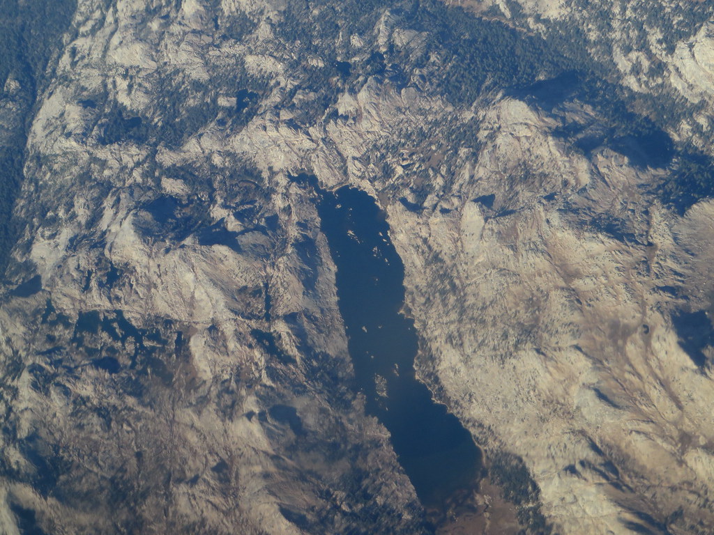
High Emigrant Lake
 Photo: Jane S. Richardson (talk · contribs), CC BY 3.0 (via Wikimedia Commons)
- 13.3 mi
- round trip
- 1,285 ft
- climb
- 10,809 ft
- high point
- Out and back
- route
Is High Emigrant Lake open right now?
Closure in the area
There's a closure order in Humboldt-Toiyabe National Forest. It doesn't name High Emigrant Lake, so check the source for the area it covers (3 listed).
Elephant Fire Closure
Agency closure covering Humboldt-Toiyabe National Forest · Order 04-17-26-01-04 · USFS · Humboldt-Toiyabe National Forest
Stanislaus National Forest extends seasonal MVUM closure for two high elevation roads
Agency closure covering Stanislaus National Forest · USFS · Stanislaus National Forest
Extension of Seasonal Road Closures
Agency closure covering Stanislaus National Forest · USFS · Stanislaus National Forest
Area, Road, and Trail Closures (Spring Mountains National Recreation Area)
Agency alert covering Humboldt-Toiyabe National Forest · Order 04-17-25-04 · USFS · Humboldt-Toiyabe National Forest
Year-Round Fire Restrictions (Spring Mountains National Recreation Area)
Agency alert covering Humboldt-Toiyabe National Forest · Order 04-17-24-01 · USFS · Humboldt-Toiyabe National Forest
As of · Source: USFS · Humboldt-Toiyabe National Forest. Agencies don't list every closure — check before you go.
High Emigrant Lake is a hard hike in California's Hoover Wilderness, part of the Bridgeport Ranger District of the Humboldt-Toiyabe National Forest. The route is an out-and-back of about 13.3 miles, with a one-way elevation gain of 1,285 feet, taking you from a low point of about 9,641 feet to a high point of about 10,809 feet. The trail is on natural surface, and horses are allowed, while bikes are not. The trip is open year-round, and the Forest Service manages the land. Kendrick Creek Trail starts just 0.3 miles away, and Lunch Meadow and Grizzly Meadow, both mountain biking areas, are within a mile. Tower Peak, a climbing area, lies about 5.6 miles off.
 Kendrick Creek TrailHikingPhoto: Ken Lund, CC BY-SA 2.0 (via Flickr)0.3 mi
 Lunch MeadowMountain bikingPhoto: Dcrjsr, CC BY 3.0 (via Wikimedia Commons)0.7 mi
- Grizzly MeadowMountain biking0.8 mi
- Summit CreekCanoeing5.4 mi
- East Fork Cherry CreekCanoeing5.4 mi
- Kennedy CreekCanoeing5.6 mi
- Tower PeakRock climbing5.6 mi
 Chipmunk FlatRock climbingPhoto: RuggyBearLA, CC BY 2.0 (via Flickr)9 mi
Source: Roamze catalog (indexable pages within 10 miles, PostGIS distance)
- Blackbird LakeHiking · ~5 min drivePhoto: Jane S. Richardson (talk · contribs), CC BY 3.0 (via Wikimedia Commons)
 Leavitt LakeHiking · ~9 min drivePhoto: GSEC, CC BY 2.0 (via Flickr)
 Fremont LakeHiking · ~10 min drivePhoto: J Doll, CC BY-SA 3.0 (via Wikimedia Commons)
- Huckleberry TrailHiking · ~6 min drive
 Kennedy Lake TrailHiking · ~5 min drivePhoto: Ken Lund, CC BY-SA 2.0 (via Flickr)
 Ypparraquire RouteHiking · ~11 min drivePhoto: dogplusplus, CC BY 2.0 (via Flickr)
 Long Lake TrailHiking · ~13 min drivePhoto: Tom Hilton, CC BY 2.0 (via Flickr)
- Pacific Crest National Scenic Trail #2000Hiking · ~6 min drive
- Chain of LakesHiking · ~10 min drivePhoto: J Doll, CC BY-SA 3.0 (via Wikimedia Commons)
 Relief ValleyHiking · ~12 min drivePhoto: farktronix, CC BY 2.0 (via Flickr)
Also worth it near here

