Kennedy Lake Trail
 Photo: Ken Lund, CC BY-SA 2.0 (via Flickr)
- 1.2 mi
- round trip
- 1,125 ft
- climb
- 9,965 ft
- high point
- Out and back
- route
- Jun–Sep
- best months
Is Kennedy Lake Trail open right now?
Closure in the area
There's a closure order in Stanislaus National Forest. It doesn't name Kennedy Lake Trail, so check the source for the area it covers (2 listed).
Stanislaus National Forest extends seasonal MVUM closure for two high elevation roads
Agency closure covering Stanislaus National Forest · USFS · Stanislaus National Forest
Extension of Seasonal Road Closures
Agency closure covering Stanislaus National Forest · USFS · Stanislaus National Forest
As of · Source: USFS · Stanislaus National Forest. Agencies don't list every closure — check before you go.
Kennedy Lake Trail is a 2.4-mile out-and-back hike in California's Emigrant Wilderness, within the Summit Ranger District of Stanislaus National Forest. The Forest Service manages the land, and the trail starts at about 9,026 feet, rising to a high point of 9,965 feet. The climb is moderate, with a total gain of 1,125 feet, and the steepest stretch comes at about 1.2 miles in, where the grade reaches 29%. Summer is the most comfortable time to go. Typical averages from a nearby weather station at Tuolumne Meadows show July highs around 71°F with lows near 38°F, while winter highs there sit in the low 40s. That station sits roughly 1,270 feet below the trail, so temperatures on the route run cooler. The hike takes about 1.5 hours. Leavitt Lake is about 2.4 miles away, and the PCT: Sonora Pass - Dorothy Lk mountain biking route is about 2.1 miles off. Kennedy Creek, a canoeing spot, is about 3.5 miles away, and Leavitt Meadows Campground is about 7.3 miles away.
- PCT: Sonora Pass - Dorothy LkMountain biking2.1 mi
 Leavitt LakeHikingPhoto: GSEC, CC BY 2.0 (via Flickr)2.4 mi
- Kennedy CreekCanoeing3.5 mi
- Summit CreekCanoeing4.9 mi
 Chipmunk FlatRock climbingPhoto: RuggyBearLA, CC BY 2.0 (via Flickr)6.2 mi
- Crunchy BoulderRock climbing6.7 mi
- Leavitt Meadows CampgroundCamping7.3 mi
- DeadmanCamping8.7 mi
Source: Roamze catalog (indexable pages within 10 miles, PostGIS distance)
- Leavitt LakeHiking · ~4 min drivePhoto: GSEC, CC BY 2.0 (via Flickr)
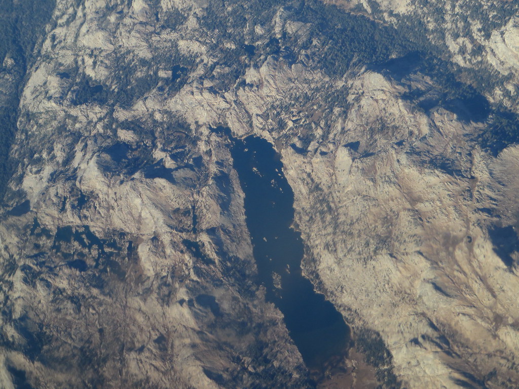 Kendrick Creek TrailHiking · ~6 min drivePhoto: Ken Lund, CC BY-SA 2.0 (via Flickr)
 Grizzly MeadowHiking · ~7 min drivePhoto: Jane S. Richardson (talk · contribs), CC BY 3.0 (via Wikimedia Commons)
- Pacific Crest National Scenic Trail #2000Hiking · ~5 min drive
- High Emigrant LakeHiking · ~5 min drivePhoto: Jane S. Richardson (talk · contribs), CC BY 3.0 (via Wikimedia Commons)
 Chain of LakesHiking · ~7 min drivePhoto: J Doll, CC BY-SA 3.0 (via Wikimedia Commons)
- Fremont LakeHiking · ~8 min drivePhoto: J Doll, CC BY-SA 3.0 (via Wikimedia Commons)
- Huckleberry TrailHiking · ~6 min drive
 BeartrapHiking · ~7 min drivePhoto: dogplusplus, CC BY 2.0 (via Flickr)
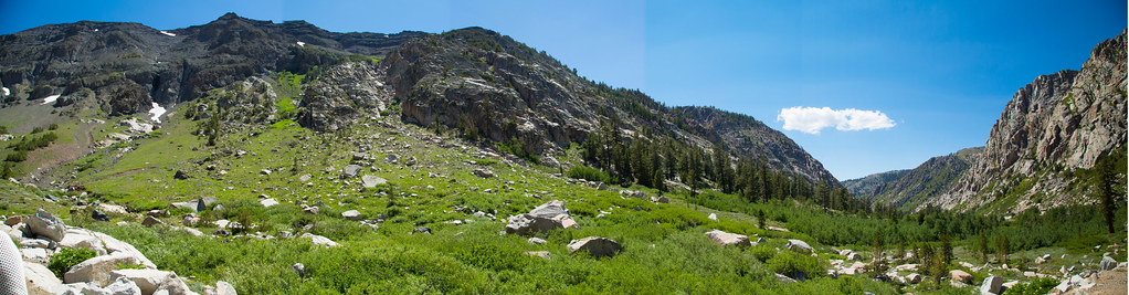 Blue CanyonHiking · ~10 min drivePhoto: zoxcleb, CC BY-SA 2.0 (via Flickr)
Best time to visit Kennedy Lake Trail
Best months: June–September. Best months have typical highs of 55–85 °F, lows of 30 °F or warmer (32 °F where the station doesn't record snow), at most one snowy day and no more than 12 wet days.
Jan
41° / 13°
Feb
38° / 12°
Mar
42° / 15°
Apr
45° / 22°
May
54° / 27°
Jun
65° / 33°
Jul
71° / 38°
Aug
70° / 36°
Sep
65° / 32°
Oct
57° / 26°
Nov
47° / 20°
Dec
40° / 12°
Typical high / low (°F) and days with rain or snow, 1991–2020. Measured at Tuolumne Meadows Rs, CA, 29.4 mi away at 8,694 ft. The station sits about 1,300 ft lower than this place, so expect it a little cooler here. This station doesn't record snowfall. Source: NOAA NCEI U.S. Climate Normals 1991–2020.


Map and trail data © OpenStreetMap contributors
