Hell for Sure Pass
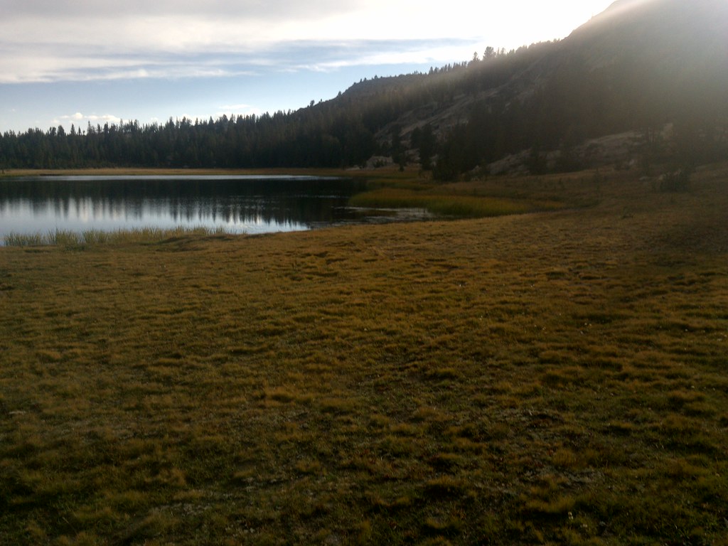
 Photo: jason.c.hansen, CC BY 2.0 (via Flickr)
- 3.7 mi
- round trip
- 1,869 ft
- climb
- 11,356 ft
- high point
- Out and back
- route
Is Hell for Sure Pass open right now?
Closure in the area
There's a closure order in Sierra National Forest. It doesn't name Hell for Sure Pass, so check the source for the area it covers (3 listed).
Safety Tips for Burned Areas: Garnet Fire Area
Agency closure covering Sierra National Forest · USFS · Sierra National Forest
Wilderness Food and Refuse Storage
Agency closure covering Sierra National Forest · Order 05-15-00-26-03 · USFS · Sierra National Forest
Food and Refuse Storage
Agency closure covering Sierra National Forest · Order 05-15-00-26-02 · USFS · Sierra National Forest
Forest Order removes Fish Camp, Soda Springs, and Little Jackass from closure list
Agency alert covering Sierra National Forest · Order 05-15-00-26-11 · USFS · Sierra National Forest
Ansel Adams and John Muir Wilderness Campfire Restrictions
Agency alert covering Sierra National Forest · Order 05-15-00-26-09 · USFS · Sierra National Forest
As of · Source: USFS · Sierra National Forest. Agencies don't list every closure — check before you go.
Hell for Sure Pass is a moderate out-and-back hike of about 7.4 miles in California's Sequoia-Kings Canyon Wilderness, part of Kings Canyon National Park managed by the National Park Service. The trail rises from a low point of 9,887 feet to a high point of 11,356 feet, with an elevation gain of about 1,869 feet. The pass lies within the High Sierra Ranger District of Sierra National Forest, and the nearest town is likely in the Kings Canyon area. The trail's length and climb make it a full-day outing, and the route is best planned as a single trip rather than split into shorter segments. Nearby, Dale Lake and Goddard Canyon are both about 2 miles away, and Martha Lake is a similar distance. Evolution Creek, a canoeing spot, sits about 4 miles off.
Local outfitters
- Bishop Pack Outfitters11 mi away
- Rainbow Pack Outfitters14 mi away
Not on Roamze yet. Their page has how to reach them.
 Dale LakeHikingPhoto: jason.c.hansen, CC BY 2.0 (via Flickr)2.1 mi
 Goddard CanyonHikingPhoto: jason.c.hansen, CC BY 2.0 (via Flickr)2.2 mi
- Martha LakeHiking2.2 mi
- Evolution CreekCanoeing4.1 mi
- HousekeepingRock climbing4.4 mi
- Post Corral CreekCanoeing5.8 mi
- Dusy DomeRock climbing9.4 mi
- Voyager RockCamping9.6 mi
Source: Roamze catalog (indexable pages within 10 miles, PostGIS distance)
- Dale LakeHiking · ~4 min drivePhoto: jason.c.hansen, CC BY 2.0 (via Flickr)
- Goddard CanyonHiking · ~4 min drivePhoto: jason.c.hansen, CC BY 2.0 (via Flickr)
 Lamarck ColHiking · ~9 min drivePhoto: TyB, CC BY 2.0 (via Flickr)
 PCT: Sonora Pass - Carson Pass - NevadaHiking · ~10 min drivePhoto: TyB, CC BY 2.0 (via Flickr)
- Hell for SureHiking · ~4 min drivePhoto: jason.c.hansen, CC BY 2.0 (via Flickr)
- Mosquito PassHiking · ~5 min drivePhoto: jason.c.hansen, CC BY 2.0 (via Flickr)
 Blackcap TrailHiking · ~15 min drivePhoto: Kurt Minard, CC BY-SA 3.0 (via Wikimedia Commons)
- Piute CanyonHiking · ~10 min drivePhoto: TyB, CC BY 2.0 (via Flickr)
- Rae LakeHiking · ~4 min drivePhoto: jason.c.hansen, CC BY 2.0 (via Flickr)
 Evolution ValleyHiking · ~7 min drivePhoto: Tom Hilton, CC BY 2.0 (via Flickr)

