Piute Canyon
 Photo: TyB, CC BY 2.0 (via Flickr)
- 22.5 mi
- round trip
- 3,661 ft
- climb
- 11,414 ft
- high point
- Out and back
- route
Is Piute Canyon open right now?
Closure in the area
There's a closure order in Sierra National Forest. It doesn't name Piute Canyon, so check the source for the area it covers (3 listed).
Safety Tips for Burned Areas: Garnet Fire Area
Agency closure covering Sierra National Forest · USFS · Sierra National Forest
Wilderness Food and Refuse Storage
Agency closure covering Sierra National Forest · Order 05-15-00-26-03 · USFS · Sierra National Forest
Food and Refuse Storage
Agency closure covering Sierra National Forest · Order 05-15-00-26-02 · USFS · Sierra National Forest
Forest Order removes Fish Camp, Soda Springs, and Little Jackass from closure list
Agency alert covering Sierra National Forest · Order 05-15-00-26-11 · USFS · Sierra National Forest
Ansel Adams and John Muir Wilderness Campfire Restrictions
Agency alert covering Sierra National Forest · Order 05-15-00-26-09 · USFS · Sierra National Forest
As of · Source: USFS · Sierra National Forest. Agencies don't list every closure — check before you go.
Piute Canyon is a hard hike in California's John Muir Wilderness, within the High Sierra Ranger District of Sierra National Forest. The trail is about 22.5 miles long, with a one-way elevation gain of 3,661 feet, and it rises from a low point of 8,056 feet to a high point of 11,414 feet. The Forest Service manages the land, and the route is natural-surface, not accessible, and allows horses but not bikes. The trail is an out-and-back, and it is open year-round. The closest neighbors are the PCT: Sonora Pass - Carson Pass - Nevada and Lower Goddard Canyon, both about 0.1 mile away. Piute Creek, a canoeing spot, lies about 5 miles off, and Jackass Meadow campground is about 8 miles away.
Local outfitters
- Bishop Pack Outfitters12 mi away
- Rainbow Pack Outfitters15 mi away
Not on Roamze yet. Their page has how to reach them.
Keep exploring — more trails worth the drive
Photo: TyB, CC BY 2.0 (via Flickr)Lower Goddard Canyon
Next door
3.56-mile out-and-back trail in California with 458 ft gain and 8,464 ft max elevation
 Photo: Jesse Wagstaff, CC BY 2.0 (via Flickr)
French Canyon
~7 min drive
9.82-mile out-and-back trail in California with 1,870 ft elevation gain.
 Photo: Jesse Wagstaff, CC BY 2.0 (via Wikimedia Commons)
Golden Trout Lake Trail
~9 min drive
8.56-mile out-and-back hike in California with 1,699 ft elevation gain.
 Photo: TyB, CC BY 2.0 (via Flickr)
Lamarck Col
~13 min drive
3.54-mile out-and-back trail in California with 2,252 ft gain and 12,924 ft max elevation.
 Photo: Tom Hilton, CC BY 2.0 (via Wikimedia Commons)
Sallie Keyes Cutoff Trail
~4 min drive
1.24-mile out-and-back hike in California with 620 ft gain and 8,446 ft max elevation
 Photo: Tom Hilton, CC BY 2.0 (via Flickr)
Reddys Hole
~10 min drive
13.64-mile out-and-back trail in California with 1,946 ft elevation gain.
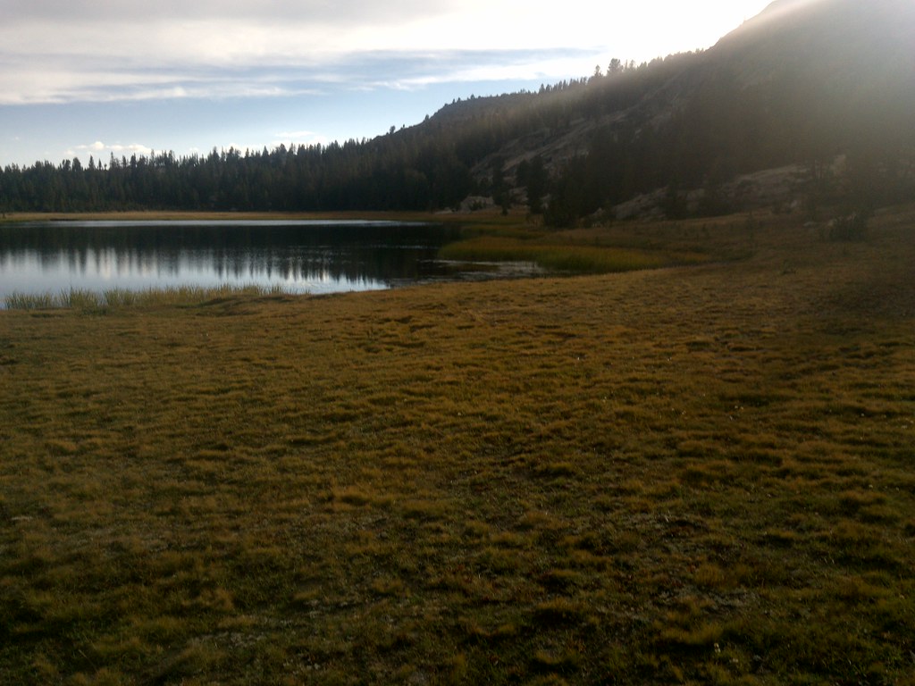 Photo: jason.c.hansen, CC BY 2.0 (via Flickr)
Mosquito Pass
~9 min drive
5.16-mile out-and-back trail in California with 878 ft elevation gain.
Photo: Tom Hilton, CC BY 2.0 (via Wikimedia Commons)SALLIE KEYS CUTOFF
~4 min drive
1.22-mile out-and-back trail in California with 620 ft gain and 620 ft loss.
 Photo: Tom Hilton, CC BY 2.0 (via Flickr)
Burnt Corral
~10 min drive
9.84-mile out-and-back trail in California with 54 ft elevation gain.
 Photo: Tom Hilton, CC BY 2.0 (via Flickr)
Lake 11106
~9 min drive
1.56-mile out-and-back to Lake 11106 at 11,106 ft with 1,454 ft gain

