Loading…

Manzanita Lake Day Use Area
Free — you'll pick up right here.
Watch this trail
Sign up to watch it — saving subscribes you to gate, closure and report changes.
California
We won't guess. Here is exactly what we do and don't know.
What we do know
Inside Lassen Volcanic National Park
National Park unit boundary is mapped — agency alerts for it feed this page automatically.
Boundary data
What's missing
No access route mapped
We don't yet know which road reaches this trailhead, so we can't tell you if it's gated.
Nobody's filed a report here yet — be the first.
Why you'll love it
Manzanita Lake Day Use Area
AI-suggested draft · review before you go
No elevation data on file for this trail.
No permit or access details on file for this trail — check with the local land manager before you go.
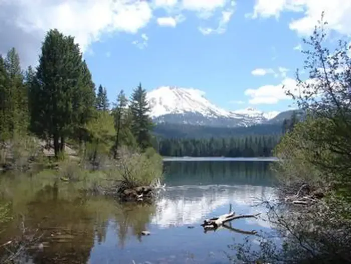
<p>The Manzanita Lake boat launch, trailhead, and picnic area are located on the southeast shore of Manzanita Lake. Get here by following the Manzanita Lake Campground Road off of Lassen Volcanic National Park Highway in the <a href="https://www.nps.gov/places/manzanita-lake-area.htm">Manzanita Lake Area</a>. </p> <h2>Boat Launch</h2> <p>At the south end of the parking area, a small turnaround loop provides access to the <strong>boat launch</strong>. Only non-power watercraft may be used on park lakes; engines of any type are not permitted. <a href="https://www.nps.gov/thingstodo/fishmanzanitalake.htm">Fishing</a> is permitted from watercraft and the shore. Pre-paid boat rentals are picked up here; purchase rentals at the Manzanita Camper Store (accessible by a short trail). Learn more about <a href="https://www.nps.gov/lavo/planyourvisit/boating.htm">boating and watercraft rental</a>.</p> <h2>Trailhead</h2> <p>To the left of the boat launch is one of two trailheads for the <a href="https://www.nps.gov/thingstodo/walkmanzanitalake.htm">Manzanita Lake Trail</a>. Most hikers travel clockwise when starting from this trailhead. Hikers can also follow the Manzanita Lake loop counterclockwise from the far (north) side of the parking area. A 0.2-mile section connects the boat launch parking area and the Loomis Plaza. </p> <h2>Picnic Area</h2> <p>A <strong>picnic area </strong>is located to the right of the boat launch and tables are often occupied in summer months. Additional picnic spots (without tables) can be found on the Manzanita Lake Trail, to the left of the boat launch. Restrooms and drinking water are available at the north end of the parking area. The picnic area offers a clear view across the lake to the west is a popular spot to enjoy sunset.</p>
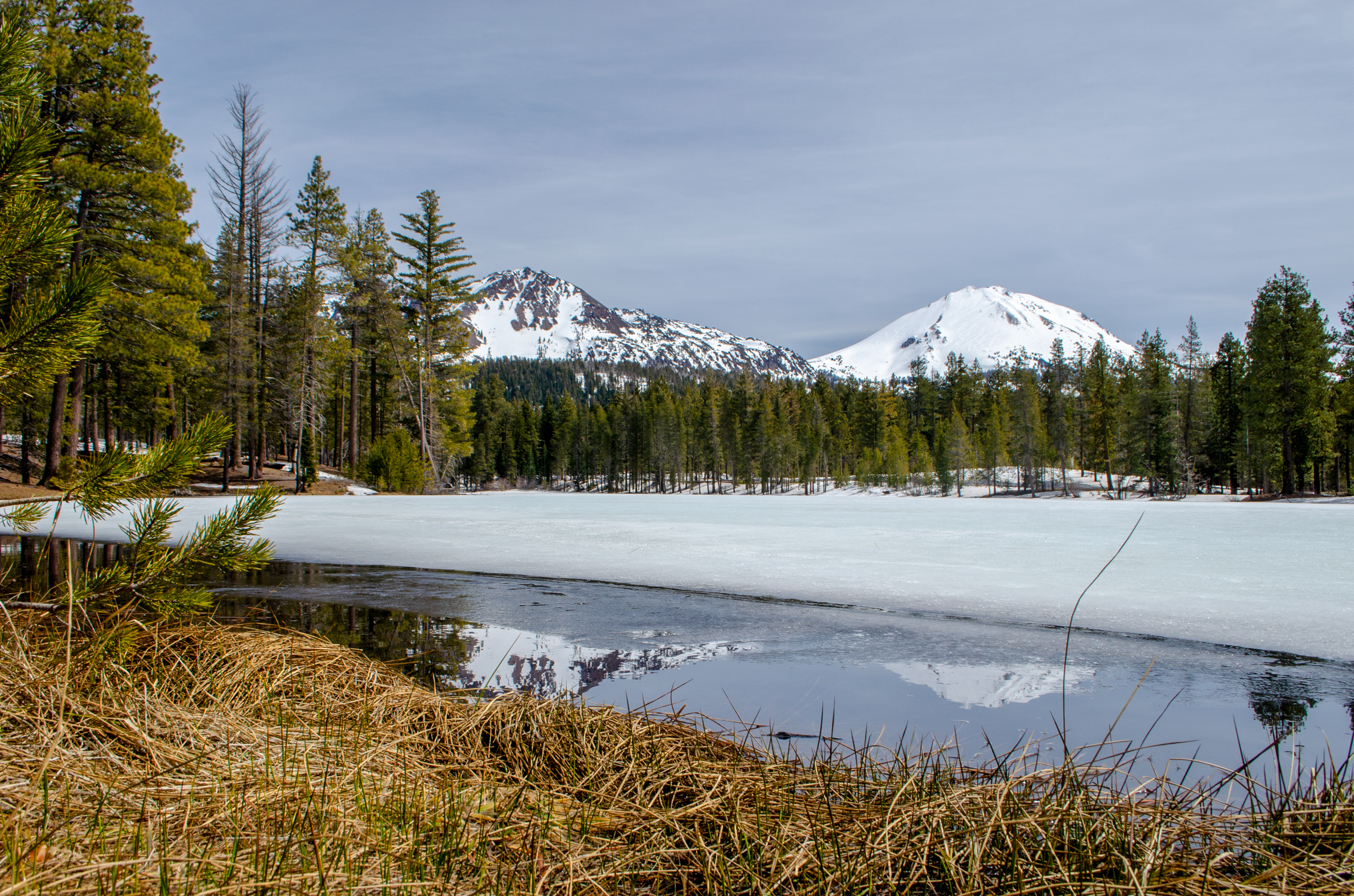
Reflection Lake
~1 min drive
<p>Reflection Lake wasn't always named such. In the late 1800s, the lake was lower in level and more indicative of a pond and was aptly named, Mud Lake. To attract more people to the area, a channel was dug to divert water from Manzanita Creek into Mud Lake. Trout were planted…
16 Road
~7 min drive
Nearly 20-mile backcountry route with steady elevation gain and remote scenery.
Spattercone Crest Trail
~20 min drive
Short volcanic landscape hike with spatter cone views.
Triangle-Lvnp Caribou
~31 min drive
Easy 3.5-mile trail with minimal elevation gain in Triangle-Lvnp area.
Sunflower Flat
~4 min drive
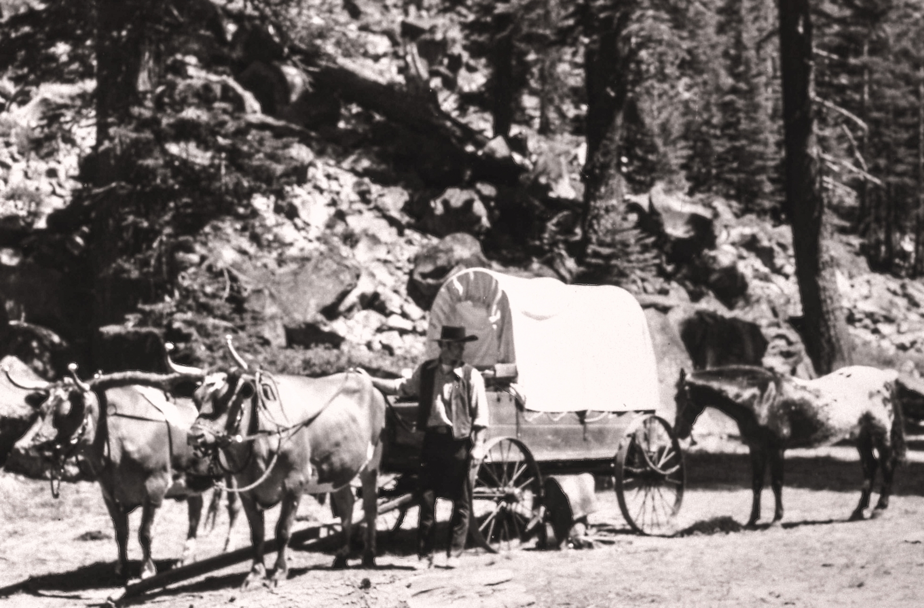
<p>A commemorative plaque marks the Nobles Emigrant Trail which was listed on the National Register of Historic Places in 1975. Twenty-four miles of the 300-mile-long wagon route skirt through the northern edge of the park. Most of the original route in the park remains intact…
Ashpan Flat
~8 min drive
Moderate 10.99-mile foothills hike with 737 ft elevation gain.
Subway Cave Interpretive Trail
~22 min drive
Easy 1.1-mile walk through a volcanic lava tube cave with interpretive features.
Hidden Lakes Caribou
~33 min drive
Easy alpine lake hike with scenic views and modest elevation gain.

Lassen Peak Scenic Vista
~9 min drive
<p>Lassen Peak is a monument to the area’s natural history and humankind’s adventurous spirit. At 10,457 feet high, it’s one of the world’s largest plug dome volcanoes. Its 1914-1917 eruptions were a driving force behind the establishment of Lassen Volcanic National Park.<br /…
Big Lake
~8 min drive
Moderate 16-mile round-trip to alpine Big Lake with steady elevation gain.