Heart Lake Trail
- 8.3 mi
- round trip
- 3,501 ft
- climb
- 7,536 ft
- high point
- Out and back
- route
Caution today
Agency alerts are in effect for this area; weather is good · USFS, OpenWeather · checked 10 h ago
Is Heart Lake Trail open right now?
Closure in the area
There's a closure order in Lassen National Forest. It doesn't name Heart Lake Trail, so check the source for the area it covers (3 listed).
Harmful Algal Blooms
Agency closure covering Lassen National Forest · USFS · Lassen National Forest
Forest Road Closure Order
Agency closure covering Lassen National Forest · Order 06-26-01 · USFS · Lassen National Forest
SAFETY ALERT - South Antelope Bridge out, Do Not Cross
Agency closure covering Lassen National Forest · USFS · Lassen National Forest
As of · Source: USFS · Lassen National Forest. Agencies don't list every closure — check before you go.
Heart Lake Trail is an out-and-back hike in California's Lassen National Forest, within the Almanor Ranger District. The Forest Service manages the land, and the trailhead is called Heart Lake Trailhead. The route is front-loaded, meaning the steepest parts come early. The trip begins at 5,781 feet and climbs to 7,536 feet, with the steepest grade reaching 20% about 1.5 miles in. The total round-trip distance is 16.6 miles, and the total round-trip elevation gain is 3,501 feet, so plan on about 7.5 hours for the trip. Nearby, Morgan Summit and Summit Lake are both within about 3 miles. Battle Creek campground sits about 3.6 miles away, and the Heart Lake National Recreation Trail is about 3.7 miles off.
- MORGAN SUMMITHiking2.5 mi
- SUMMIT LAKEHiking2.8 mi
- Battle CreekCamping3.6 mi
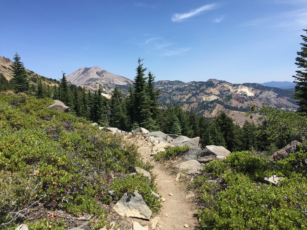 HEART LAKE NRTHikingPhoto: ray_explores, CC BY 2.0 (via Flickr)3.7 mi
- Hole in the GroundCamping5 mi
- Eagle PeakRock climbing7 mi
- Rick's Boulder aka The BeakRock climbing7 mi
- Left of PeapodRock climbing7.1 mi
Source: Roamze catalog (indexable pages within 10 miles, PostGIS distance)
- HEART LAKE NRTHiking · ~6 min drivePhoto: ray_explores, CC BY 2.0 (via Flickr)
 Spencer Meadow TrailHiking · ~8 min drivePhoto: Pacific Southwest Region 5, Public domain (via Wikimedia Commons)
- SPENCER MEADOW LOOPHiking · ~8 min drivePhoto: Pacific Southwest Region 5, Public domain (via Wikimedia Commons)
- Brokeoff Volcano VistaHiking · ~11 min drive
 Pacific Crest TrailHiking · ~18 min drivePhoto: inkknife_2000 (7.5 million views +), CC BY-SA 2.0 (via Wikimedia Commons)
 Bumpass Hell TrailHiking · ~11 min drivePhoto: Seth Tisue, CC BY-SA 2.0 (via Flickr)
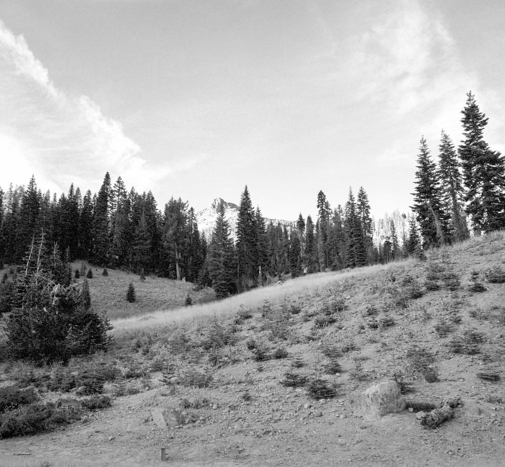 Ridge Lakes TrailHiking · ~9 min drivePhoto: nonbinaryanalog, CC BY-SA 2.0 (via Flickr)
- Spencer Meadow Loop TrailHiking · ~9 min drivePhoto: Pacific Southwest Region 5, Public domain (via Wikimedia Commons)
- Drakesbad Guest RanchHiking · ~17 min drive
 Cold Boiling Lake TrailHiking · ~12 min drivePhoto: Seth Tisue, CC BY-SA 2.0 (via Flickr)

Map and trail data © OpenStreetMap contributors
