Sentinel Campground
Campground
Campground · < 0.1 mi from the trail
 Photo: Daniel Mayer (mav), CC BY-SA 3.0 (via Wikimedia Commons)
No closures listed
The National Park Service lists no closures for Kings Canyon National Park.
As of · Source: NPS · Kings Canyon National Park. Agencies don't list every closure — check before you go.
South Fork Kings River is a paddling route in Kings Canyon National Park in California, managed by the National Park Service. It sits just under a mile from Sentinel Campground, with Don Cecil Trailhead and Hotel-Creek both within half a mile. That makes it easy to pair with a hike or a night at one of the park's camping spots. Spring and fall bring the mildest conditions. Typical averages from the nearby Independence weather station show April highs around 76°F and October highs near 81°F, with July peaking around 102°F and winter lows near 30°F. That station sits a few hundred feet lower than the river, so temperatures here run a bit cooler. Sentinel Campground and Canyon View Group Sites are the closest places to camp, and Don Cecil Trailhead is the nearest trailhead. For more climbing, the Kings Canyon climbing area is about 1.4 miles away.
Sentinel Campground
Campground
 If it rainsDavid Fulmer, CC BY 2.0 · Wikimedia Commons
Giant Forest Museum
Museum
Places © OpenStreetMap contributors · Photos: David Fulmer, CC BY 2.0 (commons)
More in Silver City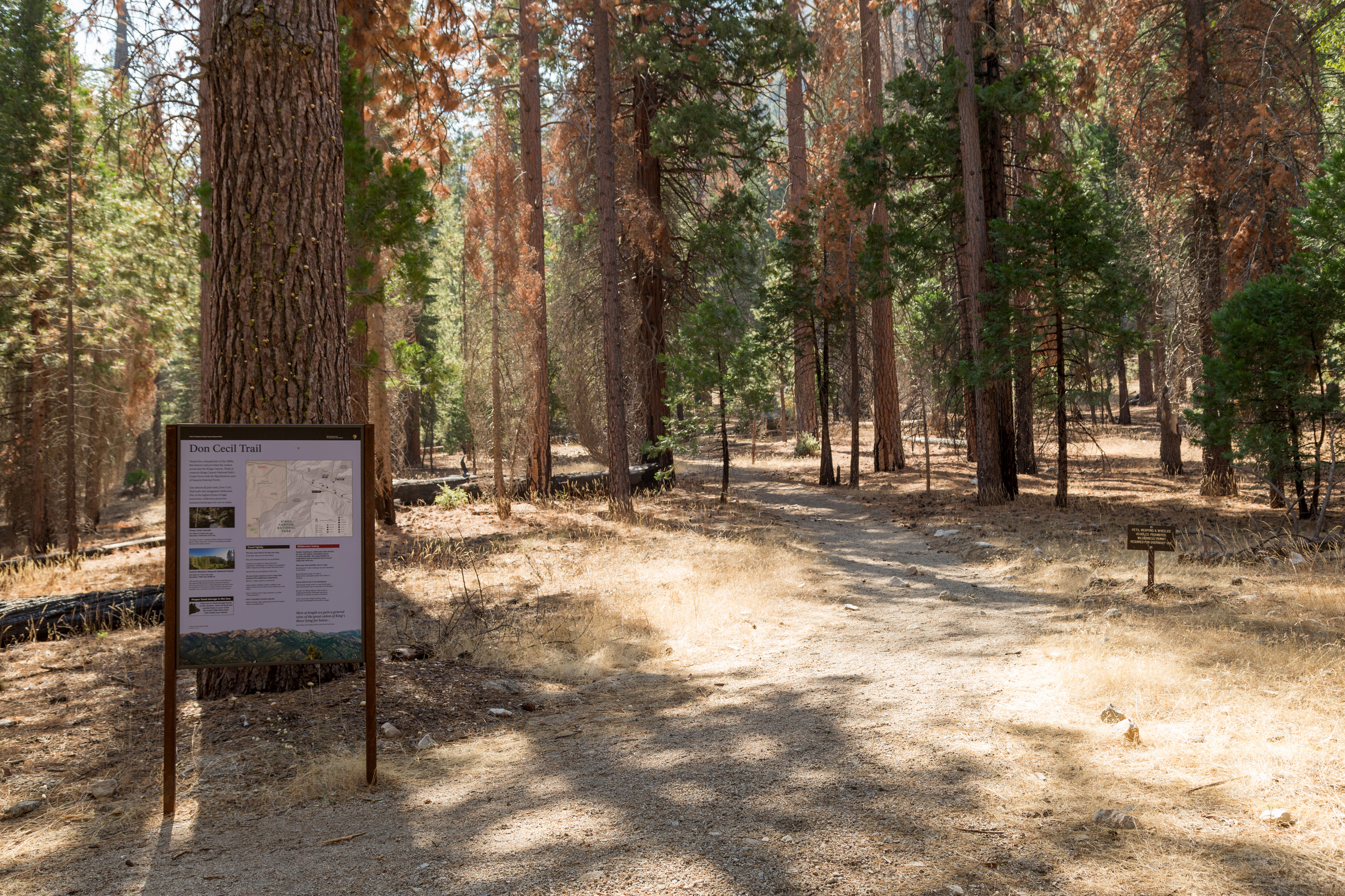 Don Cecil TrailheadHiking0.2 mi
 Hotel-CreekHikingPhoto: NPS staff, Public domain (via Wikimedia Commons)0.4 mi
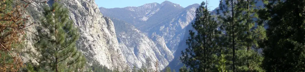 Canyon View Group SitesCampingPhoto: Recreation.gov (RIDB) / public domain0.5 mi
Source: Roamze catalog (indexable pages within 10 miles, PostGIS distance)
 Middle Fork Kings RiverCanoeing · ~22 min drivePhoto: Kurt Minard, CC BY-SA 3.0 (via Wikimedia Commons)
 North Fork Kings RiverCanoeing · ~35 min drivePhoto: Gene Daniels, Public domain (via Wikimedia Commons)
 Big Pine CreekCanoeing · ~52 min drivePhoto: Justin.Johnsen (talk · contribs) (Justin at Flickr), CC BY 2.0 (via Wikimedia Commons)
 Dinkey CreekCanoeing · ~53 min drivePhoto: USFS Region 5, Public domain (via Wikimedia Commons)
Best months: February–May and October–November. Best months have typical highs of 55–85 °F, lows of 30 °F or warmer (32 °F where the station doesn't record snow), at most one snowy day and no more than 12 wet days.
Jan
58° / 30°
4 wet
Feb
61° / 33°
4 wet
Mar
69° / 39°
3 wet
Apr
76° / 44°
1 wet
May
85° / 53°
1 wet
Jun
96° / 62°
1 wet
Jul
102° / 67°
1 wet
Aug
101° / 65°
1 wet
Sep
93° / 58°
1 wet
Oct
81° / 48°
1 wet
Nov
67° / 36°
2 wet
Dec
57° / 29°
4 wet
Typical high / low (°F) and days with rain or snow, 1991–2020. Measured at Independence, CA, 26 mi away at 3,950 ft. The station sits about 700 ft lower than this place, so expect it a little cooler here. This station doesn't record snowfall. Source: NOAA NCEI U.S. Climate Normals 1991–2020.

