Bolsillo
Campground
Campground · 0.9 mi from the trail
Closure in the area
There's a closure order in Sierra National Forest. It doesn't name EDISON LAKE, so check the source for the area it covers (3 listed).
Safety Tips for Burned Areas: Garnet Fire Area
Agency closure covering Sierra National Forest · USFS · Sierra National Forest
Wilderness Food and Refuse Storage
Agency closure covering Sierra National Forest · Order 05-15-00-26-03 · USFS · Sierra National Forest
Food and Refuse Storage
Agency closure covering Sierra National Forest · Order 05-15-00-26-02 · USFS · Sierra National Forest
Forest Order removes Fish Camp, Soda Springs, and Little Jackass from closure list
Agency alert covering Sierra National Forest · Order 05-15-00-26-11 · USFS · Sierra National Forest
Ansel Adams and John Muir Wilderness Campfire Restrictions
Agency alert covering Sierra National Forest · Order 05-15-00-26-09 · USFS · Sierra National Forest
As of · Source: USFS · Sierra National Forest. Agencies don't list every closure — check before you go.
Edison Lake is a hike in California's Sierra National Forest, within the High Sierra Ranger District, and the Forest Service manages the land. The route is out and back, with a high point of 7,799 feet and a steady climb from the starting elevation of 7,151 feet. The total elevation gain for the trip is 2,800 feet, and the steepest stretch comes at about 1.1 miles into the hike, where the grade reaches 17 percent. The hike is rated expert, and the round-trip distance is about 16.3 miles. It is best planned for summer, when typical July and August highs reach about 74°F with lows near 49°F and only one or two wet days a month, based on averages from the nearby Huntington Lake weather station. Winter is much colder, with typical January highs in the low 40s and lows in the mid-20s. The trail starts close to several other spots. Mono Hot Springs and Corbett Lake, both mountain biking areas, are within a mile, as is the Mono Hot Springs Trail for hikers. Bolsillo campground sits just under a mile away.
Bolsillo
Campground
Places © OpenStreetMap contributors
More in Shaver LakeNot on Roamze yet. Their page has how to reach them.
Best months: May–October. Best months have typical highs of 55–85 °F, lows of 30 °F or warmer (32 °F where the station doesn't record snow), at most one snowy day and no more than 12 wet days.
Jan
43° / 24°
11 wet
Feb
44° / 23°
11 wet
Mar
46° / 26°
10 wet
Apr
50° / 29°
8 wet
May
56° / 36°
6 wet
Jun
66° / 42°
3 wet
Jul
74° / 49°
2 wet
Aug
74° / 49°
1 wet
Sep
68° / 44°
2 wet
Oct
58° / 37°
4 wet
Nov
49° / 31°
8 wet
Dec
44° / 25°
10 wet
Typical high / low (°F) and days with rain or snow, 1991–2020. Measured at Huntington Lake, CA, 12.2 mi away at 7,020 ft. The station sits about 800 ft lower than this place, so expect it a little cooler here. This station doesn't record snowfall. Source: NOAA NCEI U.S. Climate Normals 1991–2020.
 Photo: GSEC, CC BY 2.0 (via Flickr)
Bear Creek
~6 min drive
0.58-mile out-and-back trail at Bear Creek in California with 157 ft of elevation gain.
 Photo: GSEC, CC BY 2.0 (via Flickr)
Bear Creek Trail
~6 min drive
13.28-mile out-and-back hike in California with 2,650 ft elevation gain
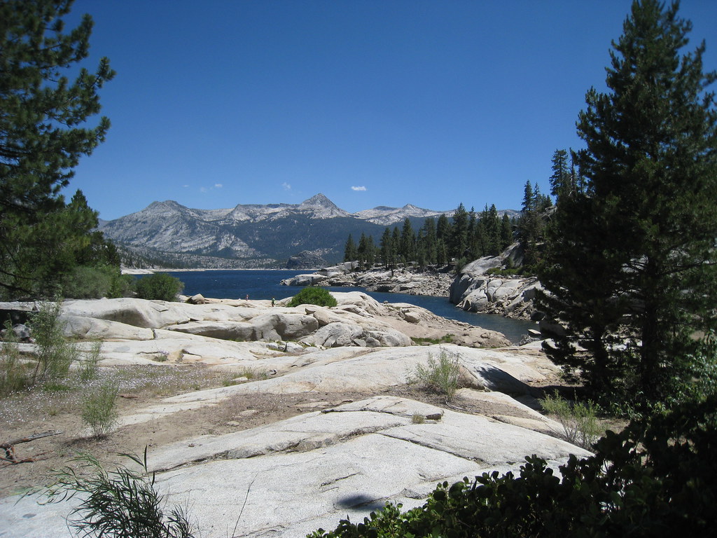 Photo: GSEC, CC BY 2.0 (via Flickr)
CRATER LAKE
~6 min drive
6.96-mile out-and-back trail in California with 2,226 ft elevation gain
Photo: GSEC, CC BY 2.0 (via Flickr)Crater Lake
~6 min drive
0.34-mile out-and-back trail to Crater Lake in California with 138 ft of elevation gain.
Photo: GSEC, CC BY 2.0 (via Flickr)BEAR CREEK
~6 min drive
12.2-mile out-and-back trail in California with 3,227 ft elevation gain and loss.
Photo: GSEC, CC BY 2.0 (via Flickr)Bear Creek Cutoff
~7 min drive
5.96-mile loop trail in California with 1,637 ft elevation gain
HIKE
Corbett Lake
~2 min drive
2.14-mile out-and-back trail to Corbett Lake in California with 601 ft of elevation gain.
 Photo: GSEC, CC BY 2.0 (via Flickr)
Deer Creek
~6 min drive
Moderate 6.7-mile creek-side hike with 1,066 ft elevation gain.
HIKE
Mono Crossing
~5 min drive
9.62-mile out-and-back trail in California with 756 ft elevation gain.
HIKE
Doris Lake
~3 min drive
0.46-mile out-and-back trail to Doris Lake in California with 81 ft of elevation gain.
Also worth it near here
 Photo: kallahar, CC BY 3.0 (via Wikimedia Commons)
Mono Hot Springs
~1 min drive
 Photo: The Greater Southwestern Exploration Company from Long Beach, California, United States, CC BY 2.0 (via Wikimedia Commons)
South Fork San Joaquin River
~2 min drive
 Photo: niiicedave — CC BY-SA 2.0 (via Flickr)
Portal Forebay
~4 min drive
