Emigrant Pass
- 7.8 mi
- round trip
- 1,077 ft
- climb
- 9,710 ft
- high point
- Out and back
- route
- Jun–Sep
- best months
Is Emigrant Pass open right now?
Closure in the area
There's a closure order in Humboldt-Toiyabe National Forest. It doesn't name Emigrant Pass, so check the source for the area it covers.
Elephant Fire Closure
Agency closure covering Humboldt-Toiyabe National Forest · Order 04-17-26-01-04 · USFS · Humboldt-Toiyabe National Forest
Area, Road, and Trail Closures (Spring Mountains National Recreation Area)
Agency alert covering Humboldt-Toiyabe National Forest · Order 04-17-25-04 · USFS · Humboldt-Toiyabe National Forest
Year-Round Fire Restrictions (Spring Mountains National Recreation Area)
Agency alert covering Humboldt-Toiyabe National Forest · Order 04-17-24-01 · USFS · Humboldt-Toiyabe National Forest
Vehicle Snow Chain Requirements during Inclement Weather (Spring Mountains National Recreation Area)
Agency alert covering Humboldt-Toiyabe National Forest · Order 04-17-23-01 · USFS · Humboldt-Toiyabe National Forest
Rainbow Canyon Flood Diversion Structure Closure (Spring Mountains National Recreation Area)
Agency alert covering Humboldt-Toiyabe National Forest · Order 04-17-15-01 · USFS · Humboldt-Toiyabe National Forest
As of · Source: USFS · Humboldt-Toiyabe National Forest. Agencies don't list every closure — check before you go.
Emigrant Pass is a hard hike of about 7.8 miles in the Hoover Wilderness, part of the Bridgeport Ranger District of the Humboldt-Toiyabe National Forest in California. The Forest Service manages the land, and the trail is a natural-surface route that allows horses but not bikes. The pass is an out-and-back with a one-way climb of about 1,077 feet, starting at roughly 8,650 feet and reaching about 9,710 feet at the high point. Summer is the most comfortable time to go. Typical averages from a nearby weather station at Tuolumne Meadows show July highs around 71°F with lows near 38°F, and the station sits about 1,000 feet lower than the pass, so temperatures up high run cooler. The Pacific Crest National Scenic Trail #2000 passes within a quarter mile, and the PCT: Sonora Pass - Dorothy Lk mountain biking route is about half a mile away. Tower Peak, a climbing area, is about 5.7 miles off, and Leavitt Meadows Campground is about 7.7 miles away.
Best time to go · Jun–Sep
Best time to visit Emigrant Pass
Best months: June–September. Best months have typical highs of 55–85 °F, lows of 30 °F or warmer (32 °F where the station doesn't record snow), at most one snowy day and no more than 12 wet days.
Jan
41° / 13°
Feb
38° / 12°
Mar
42° / 15°
Apr
45° / 22°
May
54° / 27°
Jun
65° / 33°
Jul
71° / 38°
Aug
70° / 36°
Sep
65° / 32°
Oct
57° / 26°
Nov
47° / 20°
Dec
40° / 12°
Typical high / low (°F) and days with rain or snow, 1991–2020. Measured at Tuolumne Meadows Rs, CA, 27.2 mi away at 8,694 ft. The station sits about 1,000 ft lower than this place, so expect it a little cooler here. This station doesn't record snowfall. Source: NOAA NCEI U.S. Climate Normals 1991–2020.
Keep exploring — more trails worth the drive
 Photo: dogplusplus, CC BY 2.0 (via Flickr)
Beartrap
~4 min drive
7.72-mile out-and-back trail in California with 2,093 ft elevation gain.
 Photo: J Doll, CC BY-SA 3.0 (via Wikimedia Commons)
Chain of Lakes
~4 min drive
4.40-mile out-and-back trail in California with 705 ft gain.
Photo: J Doll, CC BY-SA 3.0 (via Wikimedia Commons)Fremont Lake
~5 min drive
2.56-mile out-and-back trail to Fremont Lake in California with 575 ft gain.
HIKE
Pacific Crest National Scenic Trail #2000
Next door
22.98-mile out-and-back on the Pacific Crest Trail in California with 3,891 ft gain
Photo: dogplusplus, CC BY 2.0 (via Flickr)Ypparraquire Route
~5 min drive
Ypparraquire Route is a 3.40-mile out-and-back trail in California with 1,679 feet of elevation gain.
 Photo: Ken Lund, CC BY-SA 2.0 (via Flickr)
Kennedy Lake Trail
~5 min drive
2.42-mile out-and-back hike to Kennedy Lake in California with 1,125 ft elevation gain
 Photo: Jane S. Richardson (talk · contribs), CC BY 3.0 (via Wikimedia Commons)
Grizzly Meadow
~7 min drive
1.92-mile out-and-back trail in California with 731 ft of elevation gain.
HIKE
Huckleberry Trail
~10 min drive
30.02-mile out-and-back trail in California with 5,422 ft gain and 9,395 ft max elevation.
Photo: Jane S. Richardson (talk · contribs), CC BY 3.0 (via Wikimedia Commons)High Emigrant Lake
~5 min drive
13.29-mile out-and-back trail to High Emigrant Lake in California with 1,681 ft of elevation gain.
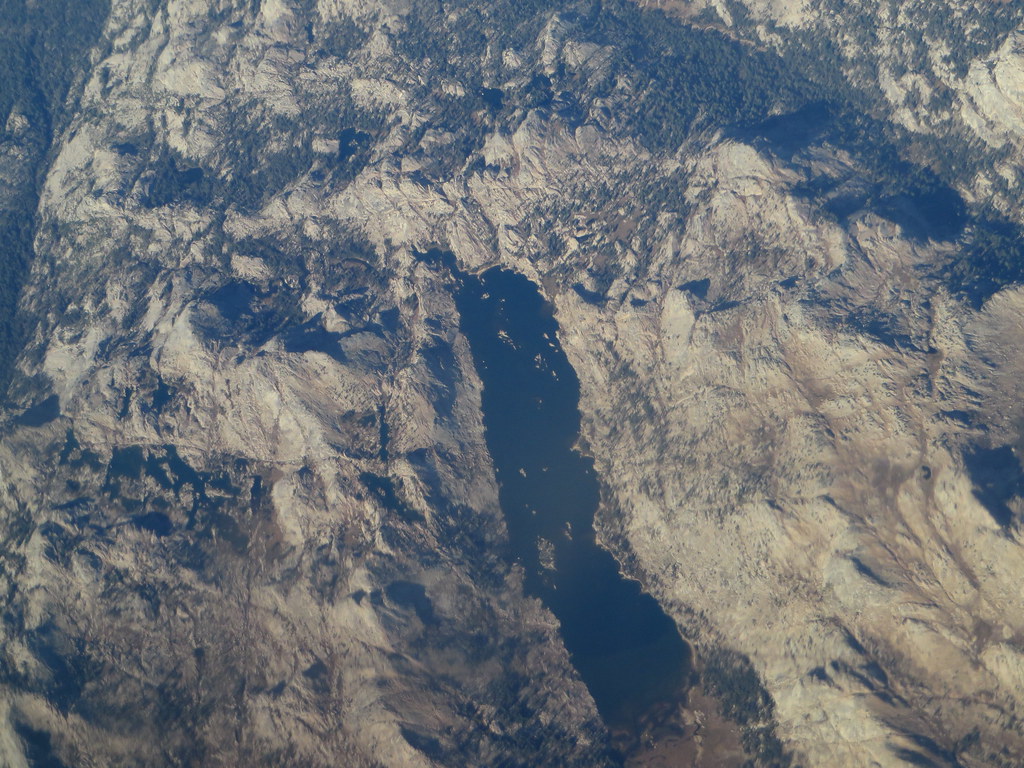 Photo: Ken Lund, CC BY-SA 2.0 (via Flickr)
Kendrick Creek Trail
~6 min drive
4.64-mile out-and-back hike in California with 1,709 ft gain/loss.


