Loading…

Free — you'll pick up right here.
Watch this trail
Sign up to watch it — saving subscribes you to gate, closure and report changes.
California
3.9 mi
Distance
696 ft
Gain
We won't guess. Here is exactly what we do and don't know.
What we do know
Inside Six Rivers National Forest
2 managing-area boundaries mapped — agency alerts for them feed this page automatically.
Boundary data
What's missing
No access route mapped
We don't yet know which road reaches this trailhead, so we can't tell you if it's gated.
Nobody's filed a report here yet — be the first.
Why you'll love it
East Fork Blue Creek
AI-suggested draft · review before you go
No permit or access details on file for this trail — check with the local land manager before you go.
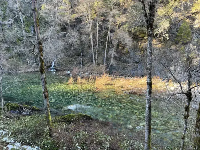
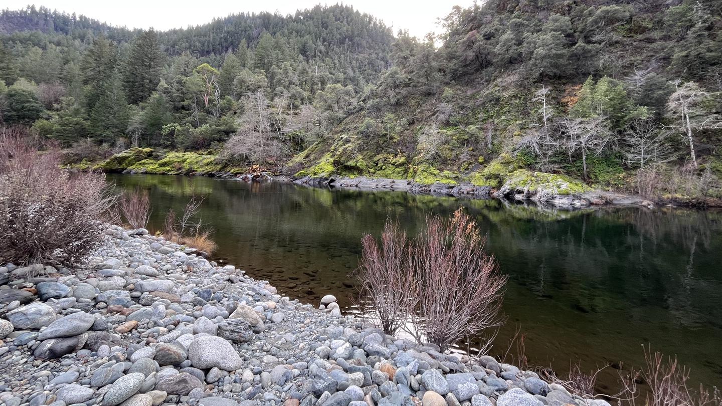
East Fork Blue Creek is a scenic 3.93-mile trail offering an accessible hiking experience with moderate elevation gain through coastal California terrain. The trail follows the creek drainage, providing opportunities to observe riparian ecosystems and water features while ascending nearly 700 feet. This out-and-back route is ideal for hikers seeking a half-day adventure with manageable difficulty and natural creek-side ambiance.
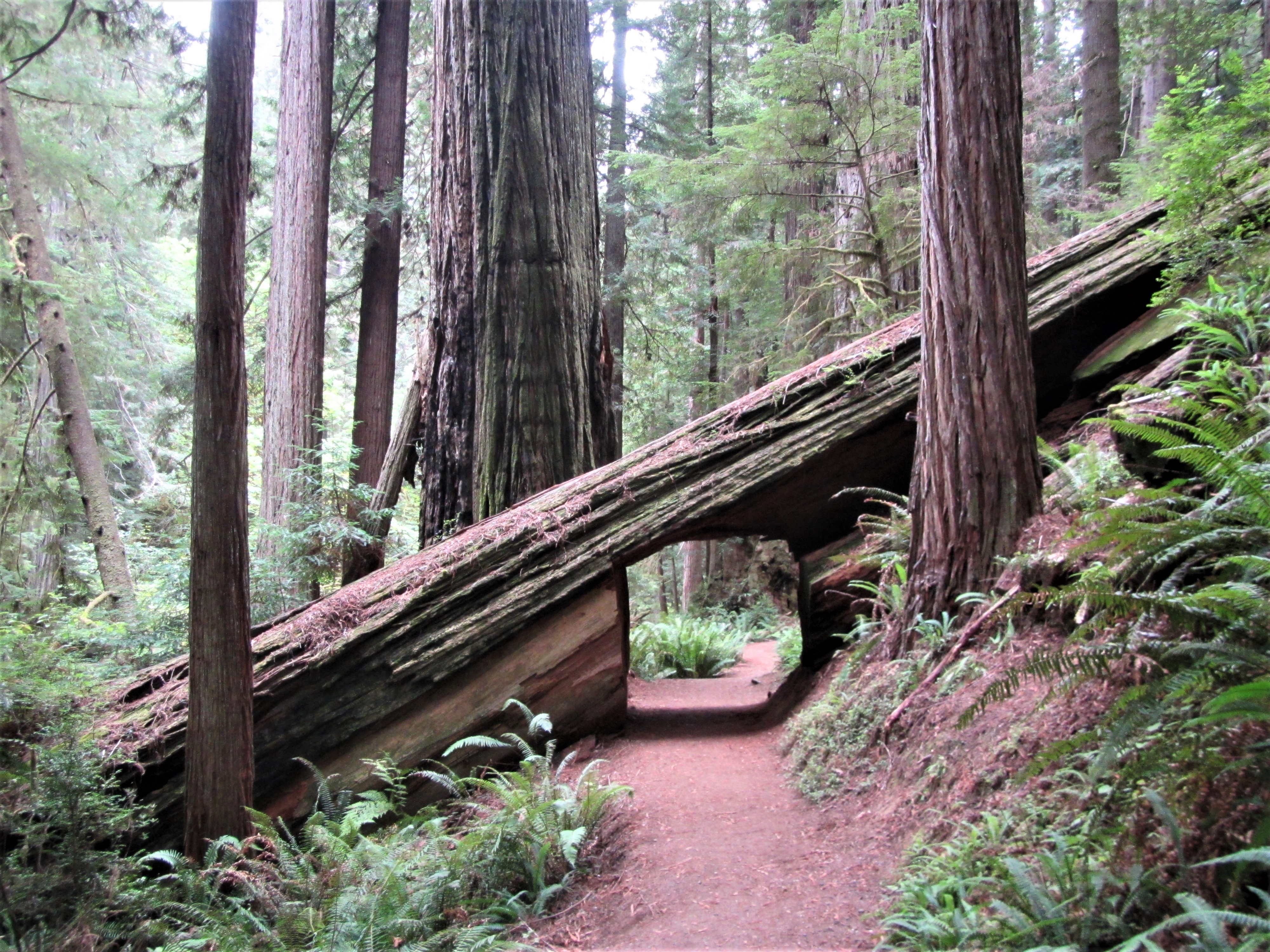
Trailhead: Karl Knapp (Prairie Creek) to Foothills Trail Loop
~28 min drive
<strong>Note: In late 2021 the Prairie Creek Trail was renamed the Karl Knapp Trail.</strong> Future publications, maps, and signs will show the new name.<br /> <br /> The Karl Knapp Trailhead is next to the Prairie Creek Visitor Center. This is a loop trail that can be comple…
Forks of Blue Creek
~10 min drive
Moderately challenging 15+ mile creek-side trek through California backcountry.
Camp Creek
~18 min drive
Moderate 5-mile climb with 1,826 ft gain through creek-side forest.
Rock Creek
~20 min drive
Easy half-mile stroll through Rock Creek with minimal elevation gain.
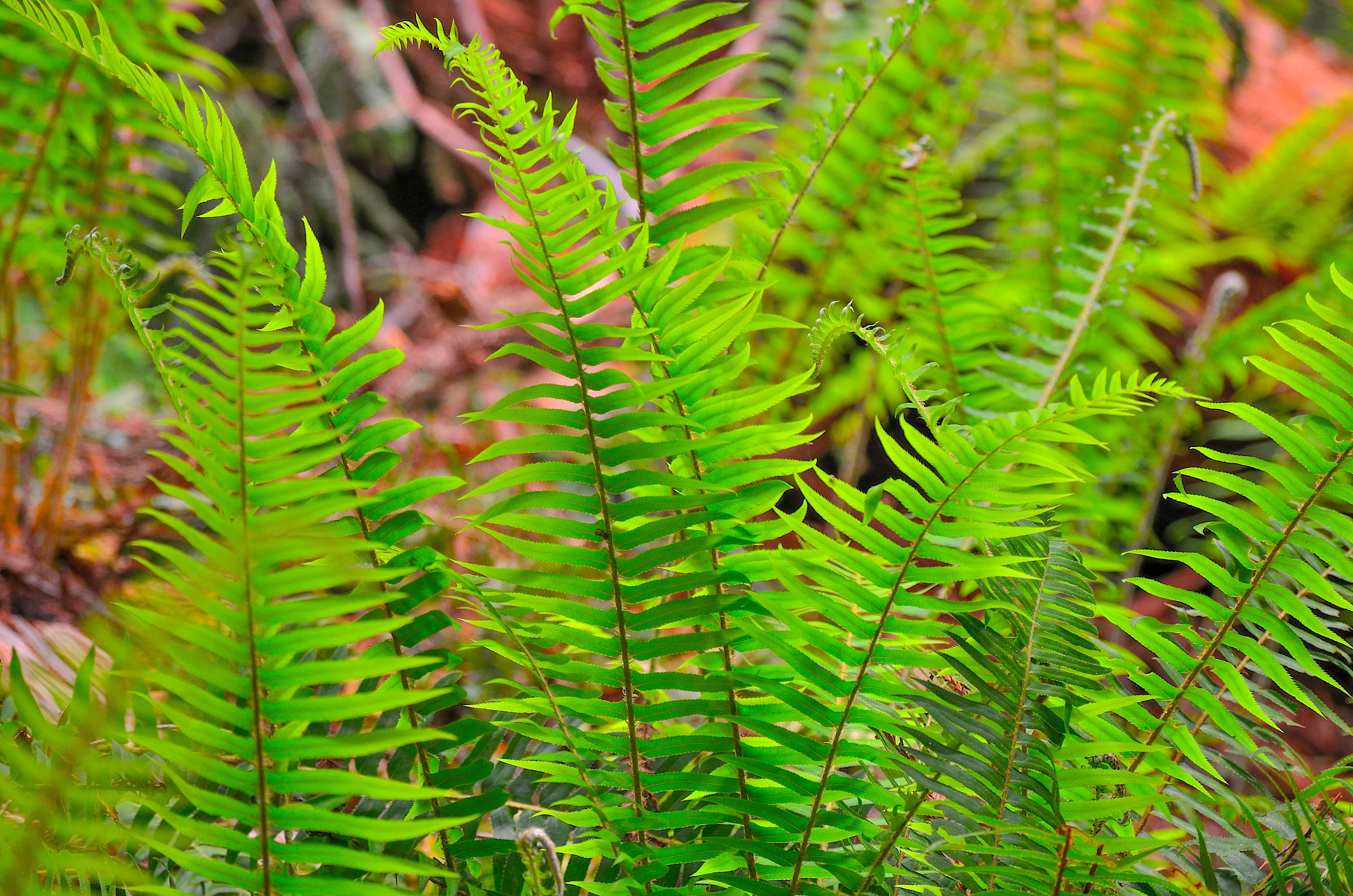
Revelation Trail
~28 min drive
<strong>A short but meaningful walk thru the redwoods.</strong><br /> <br /> This 1/4 mile long loop-trail is flat and is through some of the most beautiful, and easily accessible old-growth redwoods. Interpretive signs encourage the use of different senses to learn about and…
Dillon Creek
~22 min drive
Challenging 12.4-mile creek drainage hike with 3,664 ft elevation gain.
Bull Pine Mine
~22 min drive
Historic mining site hike with steady elevation gain through forest terrain.
Summit Valley
~22 min drive
Steep 2.24-mile alpine climb with 1,634 ft elevation gain.
Lost Man Creek: Hike and Bike Trail
~30 min drive
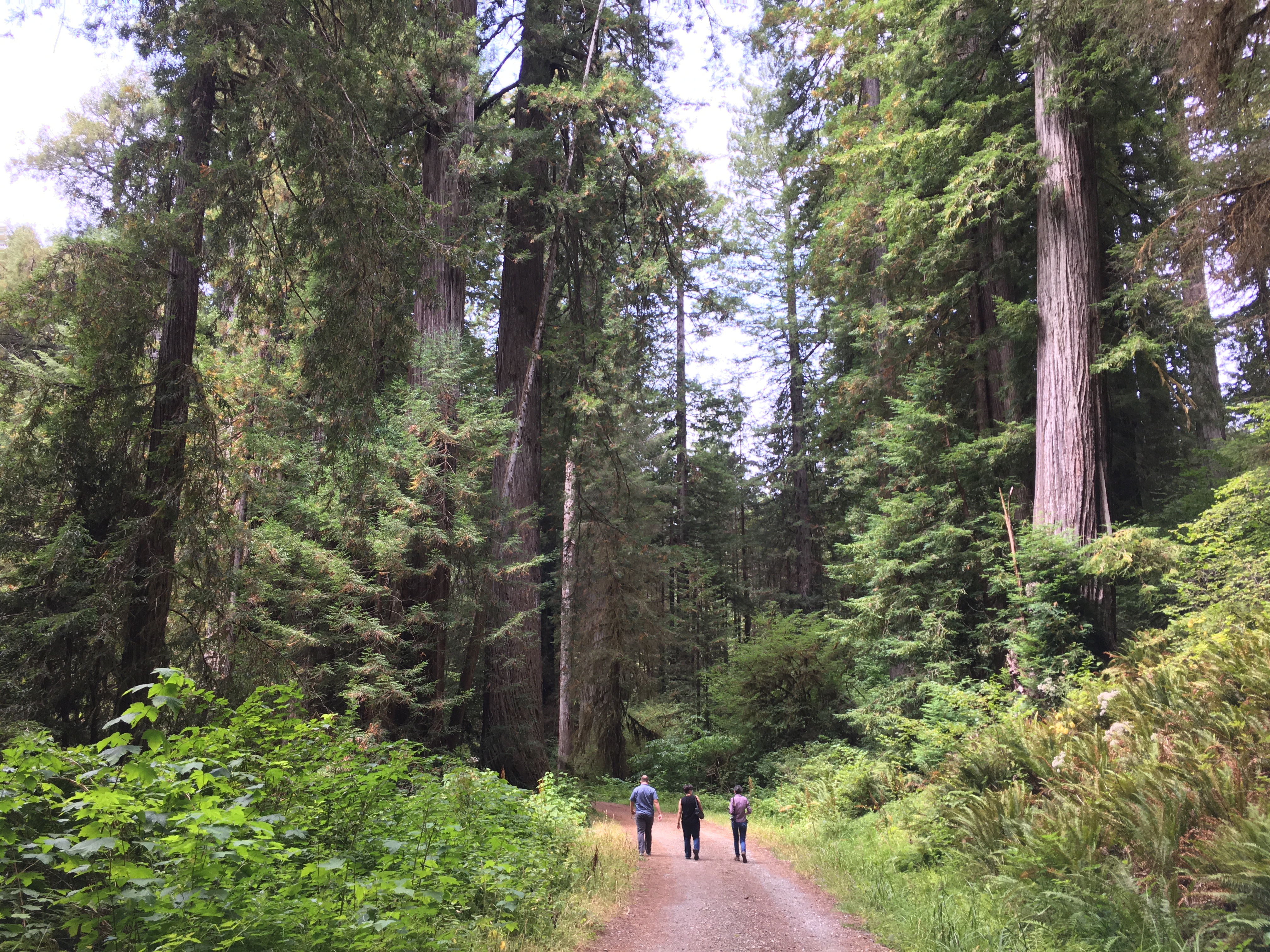
An Opportunity To Ride (Or Stroll) Through A Landscape In Recovery.<br /> <br /> Lost Man Creek flows through a landscape greatly changed from the 1960s when much of this area was clearcut logged. What used to be a logging road has been converted into a hike and bike trail. Lo…
Prospect Hill
~23 min drive
Moderate 9.12-mile foothills hike with 1,353 ft elevation gain.