Wheeler Gorge
Campground
Campground · 2.5 mi from the trail
Caution today
Agency alerts are in effect for this area; weather is good · USFS, OpenWeather · checked 5 h ago
Alert in the area
The Forest Service lists 2 alerts for Los Padres National Forest.
Los Padres Fire Use and Firearm Restrictions
Agency alert covering Los Padres National Forest · Order 05-07-00-26-05 · USFS · Los Padres National Forest
Santa Barbara Front Country Fire Use Restrictions
Agency alert covering Los Padres National Forest · Order 05-07-5406-01 · USFS · Los Padres National Forest
As of · Source: USFS · Los Padres National Forest. Agencies don't list every closure — check before you go.
Cozy Dell is a moderate out-and-back hike in the Ojai Ranger District of Los Padres National Forest in California, about 3.8 miles long and gaining 738 feet from its low point of 883 feet to a high of 1,560 feet. The Cozy Dell Trailhead is the trail's starting point, and the route is open year round. Spring and fall are the most comfortable seasons. A nearby weather station in Ojai records typical average highs of about 74°F in April and 81°F in October, while July and August average in the low to mid 90s. The trail is on natural surface and allows both horses and bikes, so it works for a range of outings. Kennedy Ridge Trail and the Foothill trail are both within about a mile and a half. Climbers can find the Hwy 33/Ojai Bouldering area about 2 miles away, and Holiday Group Campground lies about 2.8 miles off.
Wheeler Gorge
Campground
The Deer Lodge
Bar
History museum in Carpinteria, California
Places © OpenStreetMap contributors
More in Carpinteria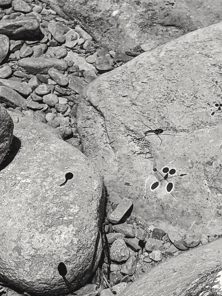 Kennedy Ridge TrailHikingPhoto: leighklotz, CC BY 2.0 (via Flickr)1.2 mi
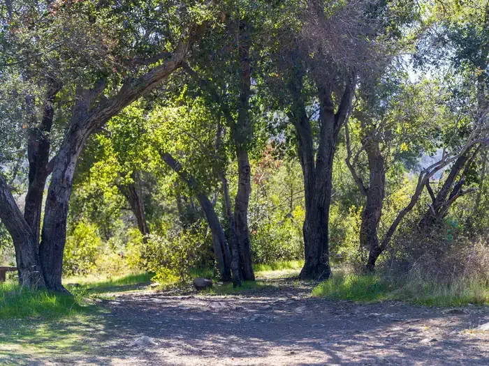 Holiday Group CampgroundCampingPhoto: Recreation.gov (RIDB) / public domain2.8 mi
Source: Roamze catalog (indexable pages within 10 miles, PostGIS distance)
Kennedy Ridge TrailHiking · ~2 min drivePhoto: leighklotz, CC BY 2.0 (via Flickr) Upper River Loop TrailsHiking · ~2 min drivePhoto: leighklotz, CC BY 2.0 (via Flickr)
 Foothill TrailHiking · ~4 min drivePhoto: Damian Gadal, CC BY 2.0 (via Flickr)Wills Canyon TrailHiking · ~3 min drivePhoto: leighklotz, CC BY 2.0 (via Flickr)Rice Canyon TrailHiking · ~2 min drivePhoto: leighklotz, CC BY 2.0 (via Flickr)
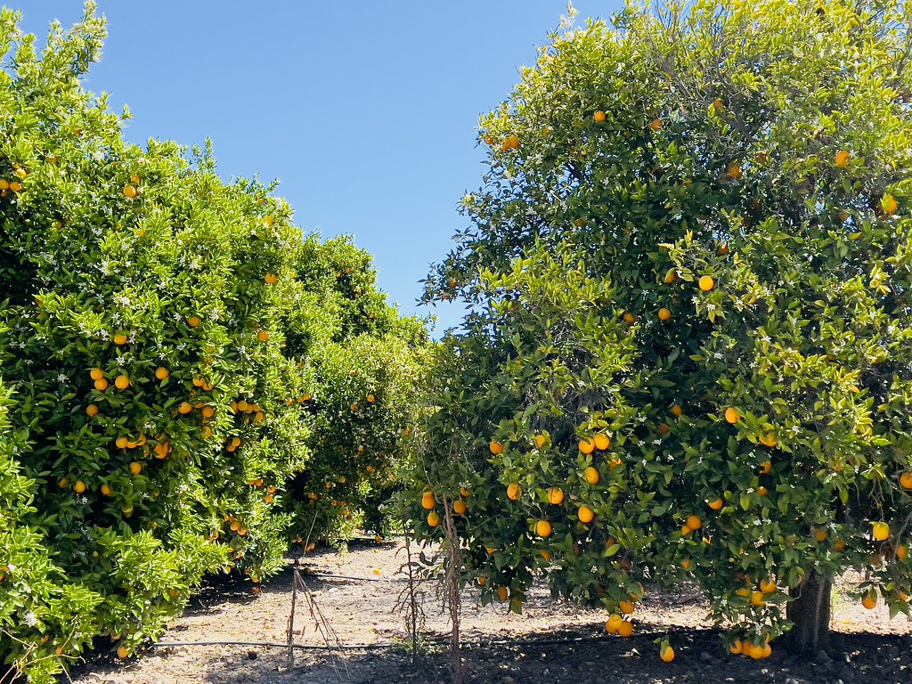 GridleyHiking · ~7 min drivePhoto: Dana L. Brown, CC BY-SA 2.0 (via Flickr)
 Fox Canyon TrailHiking · ~4 min drivePhoto: Damian Gadal, CC BY 2.0 (via Flickr)Rice Canyon TrailHiking · ~3 min drivePhoto: leighklotz, CC BY 2.0 (via Flickr)
Best months: October–June. Best months have typical highs of 55–85 °F, lows of 30 °F or warmer (32 °F where the station doesn't record snow), at most one snowy day and no more than 12 wet days.
Jan
66° / 34°
Feb
67° / 36°
Mar
70° / 39°
Apr
74° / 41°
May
77° / 46°
Jun
82° / 50°
Jul
89° / 54°
Aug
91° / 53°
Sep
88° / 51°
Oct
81° / 45°
Nov
73° / 37°
Dec
65° / 33°
Typical high / low (°F) and days with rain or snow, 1991–2020. Measured at Ojai, CA, 4.2 mi away at 745 ft. The station sits about 800 ft lower than this place, so expect it a little cooler here. This station doesn't record snowfall. Source: NOAA NCEI U.S. Climate Normals 1991–2020.
