Matilija Camp
Campground
Campground · 0.6 mi from the trail
Alert in the area
The Forest Service lists 2 alerts for Los Padres National Forest.
Los Padres Fire Use and Firearm Restrictions
Agency alert covering Los Padres National Forest · Order 05-07-00-26-05 · USFS · Los Padres National Forest
Santa Barbara Front Country Fire Use Restrictions
Agency alert covering Los Padres National Forest · Order 05-07-5406-01 · USFS · Los Padres National Forest
As of · Source: USFS · Los Padres National Forest. Agencies don't list every closure — check before you go.
North Fork Matilija Trail (23W07) is an expert-rated hike in the Ojai Ranger District of Los Padres National Forest. It runs about 7.5 miles one way and is hiked as an out-and-back, so the full trip covers roughly 15 miles. This is a long, sustained climb. The route starts at about 1,600 feet and tops out near 4,950 feet, gaining about 3,800 feet on the way out and about 4,300 feet over the round trip, with the same amount lost on the return. The steepest pitch comes around mile 6, where the grade reaches roughly 45 percent, a demanding stretch late in the ascent when legs are already tired. Close by are the Murietta hike and Matilija Creek, both under two miles away. The Monte Arido Trail is about 3 miles off, and the Wheeler Gorge climbing area is roughly 6 miles away.
Matilija Camp
Campground
History museum in Carpinteria, California
Places © OpenStreetMap contributors
More in Carpinteria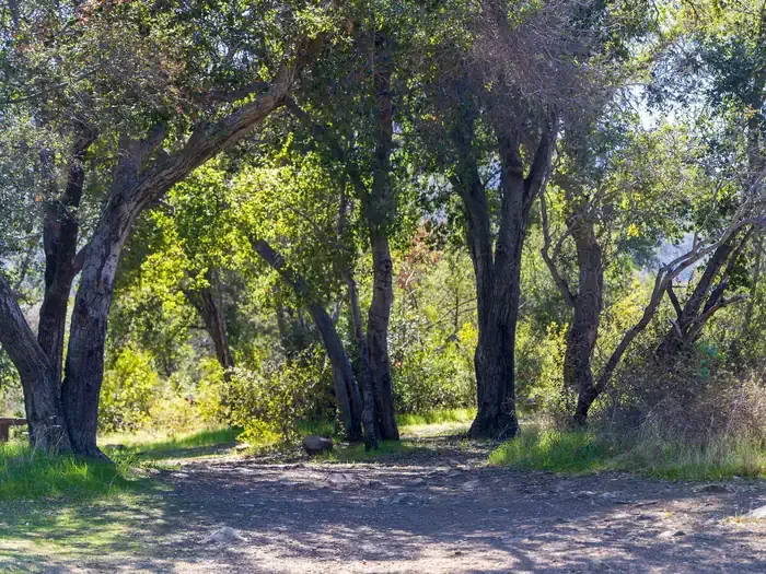 Holiday Group CampgroundCampingPhoto: Recreation.gov (RIDB) / public domain6.2 mi
Source: Roamze catalog (indexable pages within 10 miles, PostGIS distance)
 Kennedy Ridge TrailHiking · ~10 min drivePhoto: leighklotz, CC BY 2.0 (via Flickr)Rice Canyon TrailHiking · ~10 min drivePhoto: leighklotz, CC BY 2.0 (via Flickr)
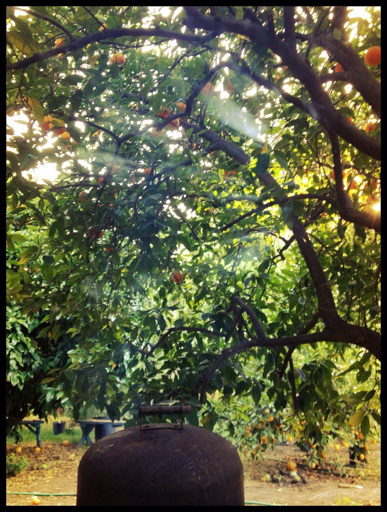 Foothill TrailHiking · ~14 min drivePhoto: Damian Gadal, CC BY 2.0 (via Flickr)Wills Canyon TrailHiking · ~11 min drivePhoto: leighklotz, CC BY 2.0 (via Flickr)Chaparral Crest TrailHiking · ~10 min drivePhoto: leighklotz, CC BY 2.0 (via Flickr)
 Middle SespeHiking · ~15 min drivePhoto: Roger Sylvia, CC BY-SA 3.0 (via Wikimedia Commons)
 Fox Canyon TrailHiking · ~14 min drivePhoto: Damian Gadal, CC BY 2.0 (via Flickr)Rice Canyon TrailHiking · ~11 min drivePhoto: leighklotz, CC BY 2.0 (via Flickr)
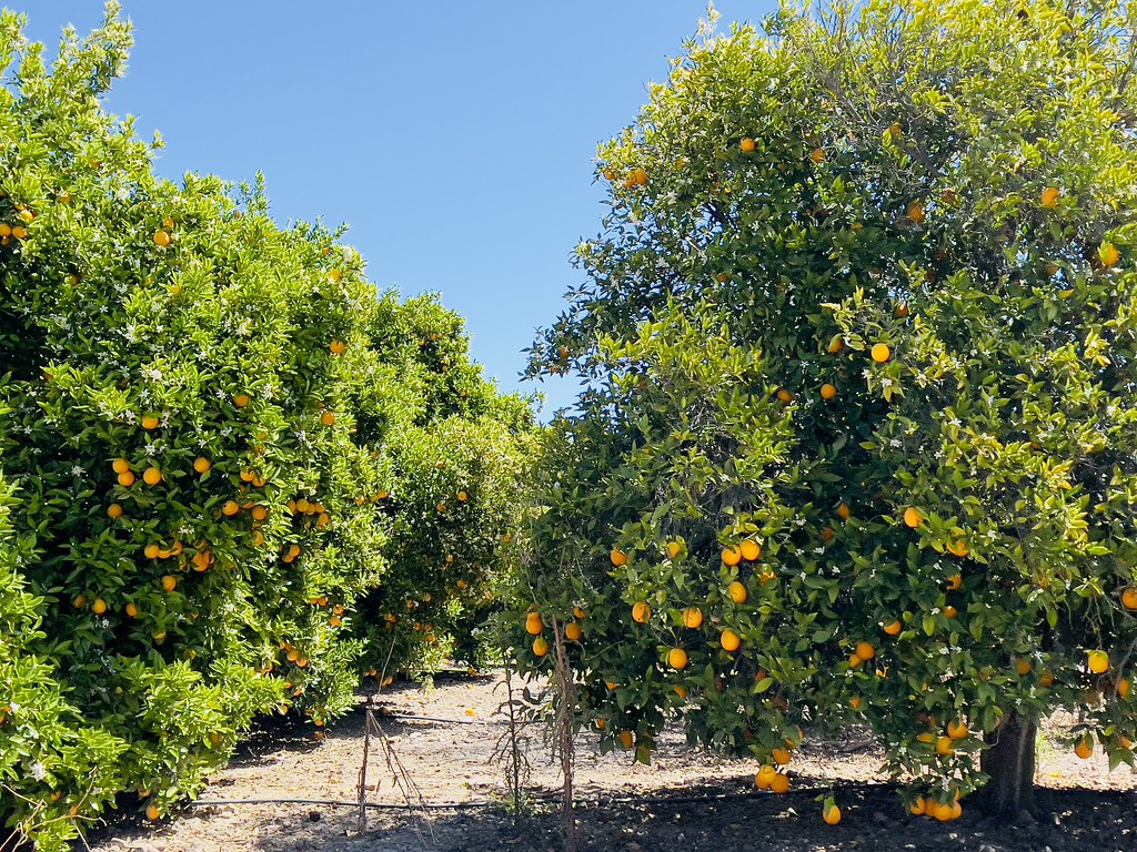 GridleyHiking · ~16 min drivePhoto: Dana L. Brown, CC BY-SA 2.0 (via Flickr)
Map and trail data © OpenStreetMap contributors
