Upper Santa Ynez Camp
Campground
Campground · 1.5 mi from the trail
Caution today
Agency alerts are in effect for this area; weather is good · USFS, OpenWeather · checked just now
Alert in the area
The Forest Service lists 2 alerts for Los Padres National Forest.
Los Padres Fire Use and Firearm Restrictions
Agency alert covering Los Padres National Forest · Order 05-07-00-26-05 · USFS · Los Padres National Forest
Santa Barbara Front Country Fire Use Restrictions
Agency alert covering Los Padres National Forest · Order 05-07-5406-01 · USFS · Los Padres National Forest
As of · Source: USFS · Los Padres National Forest. Agencies don't list every closure — check before you go.
Ocean View Trail is a 10.6-mile out-and-back route in California's Los Padres National Forest, within the Ojai Ranger District. The trail climbs steadily from a starting point around 4,567 feet to a high point of 4,776 feet, with a total gain of 4,901 feet over the course of the trip. The Forest Service manages the land. The route is rated expert, and it is a long, steep day. The steepest stretch comes at about 4.6 miles in, where the grade reaches 35%. The climb is steady from start to finish, and the trail is roughly 5 miles round trip from the high point. Plan for about six hours on the trail. Monte Arido Trail and Matilija Divide Trail both lie within about a mile and a quarter, and Murietta is a little over 2 miles away. For paddling, Matilija Creek is about 4.7 miles off.
Upper Santa Ynez Camp
Campground
History museum in Carpinteria, California
Places © OpenStreetMap contributors, Places © Overture Maps Foundation
More in Carpinteria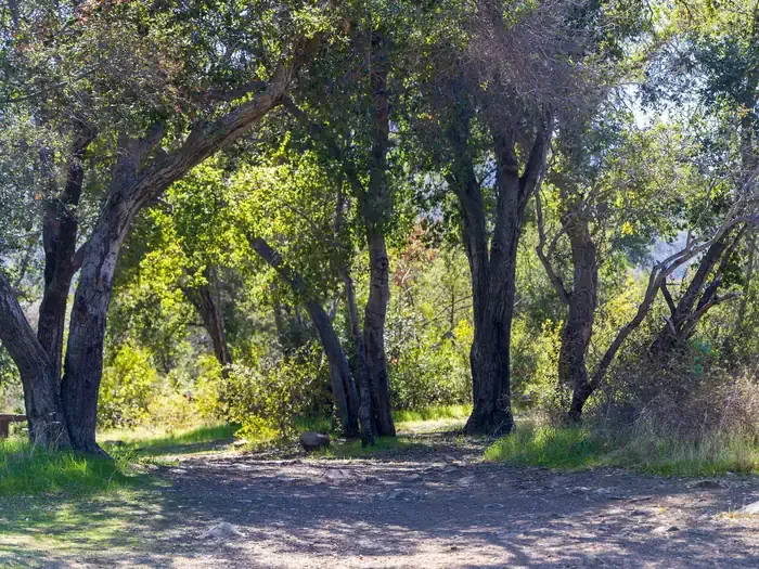 Holiday Group CampgroundCampingPhoto: Recreation.gov (RIDB) / public domain9.3 mi
 Ventura RiverCanoeingPhoto: LorraineWalter, CC BY-SA 3.0 (via Wikimedia Commons)9.9 mi
Source: Roamze catalog (indexable pages within 10 miles, PostGIS distance)
 Rhodes-Fleming Coastal TrailHiking · ~12 min drivePhoto: cameraclub231, CC BY 2.0 (via Flickr)
 Wills Canyon TrailHiking · ~14 min drivePhoto: leighklotz, CC BY 2.0 (via Flickr)Chaparral Crest TrailHiking · ~13 min drivePhoto: leighklotz, CC BY 2.0 (via Flickr)
 Reservoir TrailHiking · ~17 min drivePhoto: coastalscientist, Public Domain Mark (via Flickr)Rice Canyon TrailHiking · ~13 min drivePhoto: leighklotz, CC BY 2.0 (via Flickr)
 Franklin TrailHiking · ~6 min drivePhoto: waterarchives, CC BY-SA 2.0 (via Flickr)
Map and trail data © OpenStreetMap contributors
