Wheeler Gorge
Campground
Campground · 2.6 mi from the trail
Alert in the area
The Forest Service lists 2 alerts for Los Padres National Forest.
Los Padres Fire Use and Firearm Restrictions
Agency alert covering Los Padres National Forest · Order 05-07-00-26-05 · USFS · Los Padres National Forest
Santa Barbara Front Country Fire Use Restrictions
Agency alert covering Los Padres National Forest · Order 05-07-5406-01 · USFS · Los Padres National Forest
As of · Source: USFS · Los Padres National Forest. Agencies don't list every closure — check before you go.
Foothill is an easy, out-and-back hike of about 1.7 miles in the Ojai Ranger District of Los Padres National Forest in California. The trail rises from a low point of about 1,425 feet to a high of about 1,739 feet, a climb of roughly 350 feet one way. The route is natural-surfaced and open to both horses and bikes, so it works for riders and pack animals as well as hikers. It is a year-round trail, and the nearest town is Ojai, about 3 miles away. Spring and fall are the most comfortable times to go. Typical averages from a nearby weather station in Ojai show April highs around 74°F and October highs around 81°F, while July and August average in the low 90s. Climbers will find Foothill Crag ("The Foot") about a mile away and The Hideout just beyond it. The Foothill Trail and Cozy Dell are both about 1.3 miles off.
Wheeler Gorge
Campground
The Deer Lodge
Bar
History museum in Carpinteria, California
Places © OpenStreetMap contributors
More in Carpinteria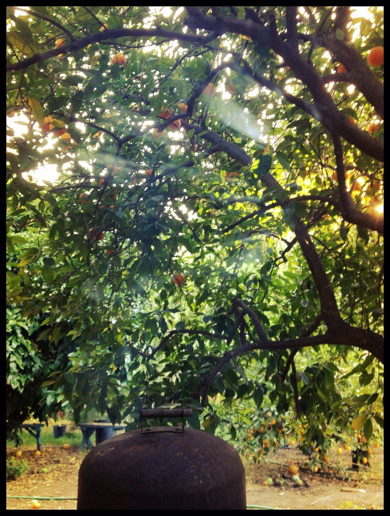 Foothill TrailHikingPhoto: Damian Gadal, CC BY 2.0 (via Flickr)1.3 mi
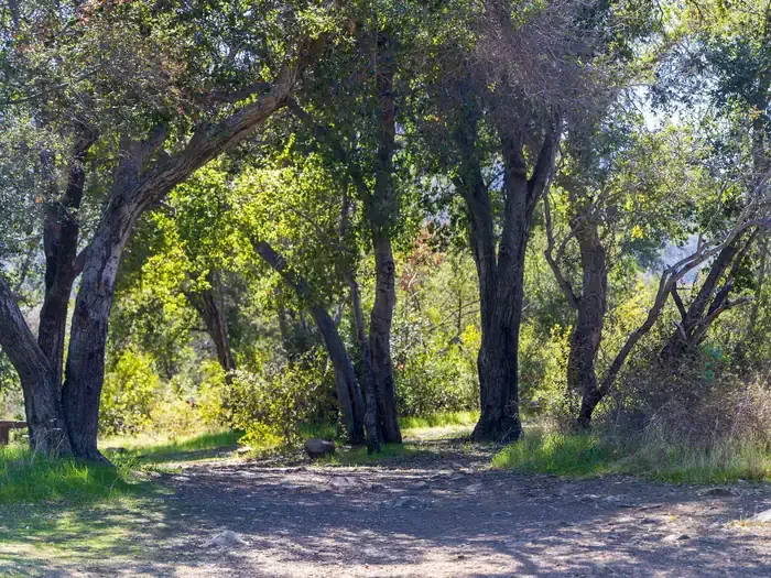 Holiday Group CampgroundCampingPhoto: Recreation.gov (RIDB) / public domain3 mi
 Ventura RiverCanoeingPhoto: LorraineWalter, CC BY-SA 3.0 (via Wikimedia Commons)6.7 mi
Source: Roamze catalog (indexable pages within 10 miles, PostGIS distance)
Foothill TrailHiking · ~2 min drivePhoto: Damian Gadal, CC BY 2.0 (via Flickr) Fox Canyon TrailHiking · ~2 min drivePhoto: Damian Gadal, CC BY 2.0 (via Flickr)
 Upper River Loop TrailsHiking · ~3 min drivePhoto: leighklotz, CC BY 2.0 (via Flickr)
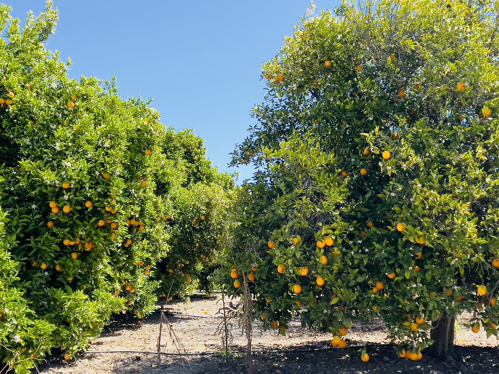 GridleyHiking · ~4 min drivePhoto: Dana L. Brown, CC BY-SA 2.0 (via Flickr)
 Kennedy Ridge TrailHiking · ~3 min drivePhoto: leighklotz, CC BY 2.0 (via Flickr)Rice Canyon TrailHiking · ~3 min drivePhoto: leighklotz, CC BY 2.0 (via Flickr)
 Middle SespeHiking · ~10 min drivePhoto: Roger Sylvia, CC BY-SA 3.0 (via Wikimedia Commons)Wills Canyon TrailHiking · ~4 min drivePhoto: leighklotz, CC BY 2.0 (via Flickr)Rice Canyon TrailHiking · ~4 min drivePhoto: leighklotz, CC BY 2.0 (via Flickr)
Best months: October–June. Best months have typical highs of 55–85 °F, lows of 30 °F or warmer (32 °F where the station doesn't record snow), at most one snowy day and no more than 12 wet days.
Jan
66° / 34°
Feb
67° / 36°
Mar
70° / 39°
Apr
74° / 41°
May
77° / 46°
Jun
82° / 50°
Jul
89° / 54°
Aug
91° / 53°
Sep
88° / 51°
Oct
81° / 45°
Nov
73° / 37°
Dec
65° / 33°
Typical high / low (°F) and days with rain or snow, 1991–2020. Measured at Ojai, CA, 3 mi away at 745 ft. The station sits about 1,000 ft lower than this place, so expect it a little cooler here. This station doesn't record snowfall. Source: NOAA NCEI U.S. Climate Normals 1991–2020.
