Cottonwood Fisherman
- 6.8 mi
- round trip
- 641 ft
- climb
- 6,284 ft
- high point
- Out and back
- route
- Jun–Aug
- best months
Is Cottonwood Fisherman open right now?
Alert in the area
The Forest Service lists an alert for Tahoe National Forest.
Camping and Campfire Restrictions-Truckee and Sierraville Districts
Agency alert covering Tahoe National Forest · Order 17-25-05 · USFS · Tahoe National Forest
As of · Source: USFS · Tahoe National Forest. Agencies don't list every closure — check before you go.
Cottonwood Fisherman is a hard hike of about 6.8 miles in the Sierraville Ranger District of Tahoe National Forest, managed by the Forest Service. The trail is an out-and-back with a one-way climb of about 640 feet, from a low point of roughly 5,690 feet to a high of about 6,280 feet. Summer is the most comfortable time to go. Typical averages from the nearby Sagehen Creek weather station, at a similar elevation, run to highs around 80°F in July and August with lows in the mid-30s. Winter is cold, with January highs near 40°F and lows around 15°F. The trail is on natural surface and bikes are allowed. Cottonwood Overlook Trail starts just 0.1 mile away, and Cottonwood Creek and Cottonwood campgrounds are both within half a mile. Cold Stream, a canoeing spot, is about 1.2 miles off.
Local outfitters
- Alpenglow Expeditions25 mi away
Not on Roamze yet. Their page has how to reach them.
- Cottonwood Overlook TrailHiking0.1 mi
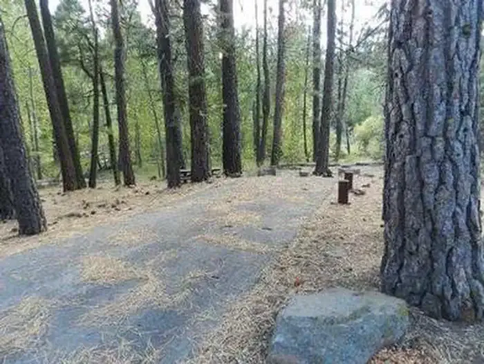 Cottonwood CreekCampingPhoto: Recreation.gov (RIDB) / public domain0.3 mi
- CottonwoodCamping0.5 mi
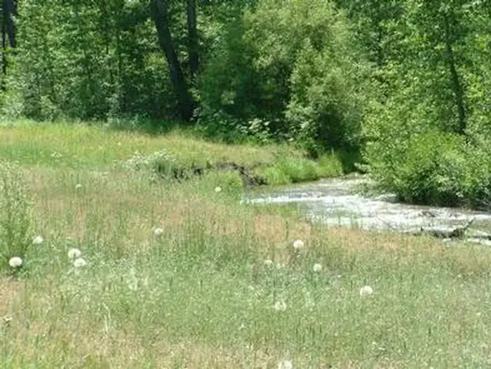 Cold CreekCampingPhoto: Recreation.gov (RIDB) / public domain0.5 mi
- Cold StreamCanoeing1.2 mi
- TREASURE MOUNTAIN LOOPHiking3.4 mi
- Wheeler LoopCross-country skiing4 mi
- Independence CreekCanoeing4.9 mi
Source: Roamze catalog (indexable pages within 10 miles, PostGIS distance)
 BALD RIDGE LOOPHiking · ~15 min drivePhoto: Matthew Rhodes, CC0 (via Wikimedia Commons)
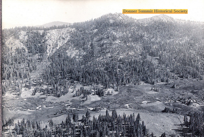 Carpenter Valley Loop TrailHiking · ~18 min drivePhoto: donner summit historical society, Public Domain Mark (via Flickr)
 Warren LakeHiking · ~18 min drivePhoto: ilya_ktsn, CC BY 2.0 (via Flickr)
 PASS CREEK LOOPHiking · ~21 min drivePhoto: M. Rhodes Photography, Public Domain Mark (via Flickr)
 Pacific Crest National Scenic Trail #2000Hiking · ~19 min drivePhoto: ilya_ktsn, CC BY 2.0 (via Flickr)
 Paradise LakeHiking · ~19 min drivePhoto: ilya_ktsn, CC BY 2.0 (via Flickr)
- Pacific Crest TrailHiking · ~21 min drivePhoto: M. Rhodes Photography, Public Domain Mark (via Flickr)
 Warren LakeHiking · ~21 min drivePhoto: scorpio-tiger, CC BY-SA 2.0 (via Flickr)
- TREASURE MOUNTAIN LOOPHiking · ~6 min drive
- Carpenter Valley TrailHiking · ~19 min drivePhoto: donner summit historical society, Public Domain Mark (via Flickr)
Best time to visit Cottonwood Fisherman
Best months: June–August. Best months have typical highs of 55–85 °F, lows of 30 °F or warmer (32 °F where the station doesn't record snow), at most one snowy day and no more than 12 wet days.
Jan
40° / 15°
Feb
41° / 15°
Mar
48° / 19°
Apr
53° / 22°
May
62° / 28°
Jun
72° / 32°
Jul
80° / 37°
Aug
79° / 35°
Sep
73° / 31°
Oct
61° / 24°
Nov
49° / 20°
Dec
39° / 14°
Typical high / low (°F) and days with rain or snow, 1991–2020. Measured at Sagehen Creek, CA, 8.9 mi away at 6,337 ft. This station doesn't record snowfall. Source: NOAA NCEI U.S. Climate Normals 1991–2020.

