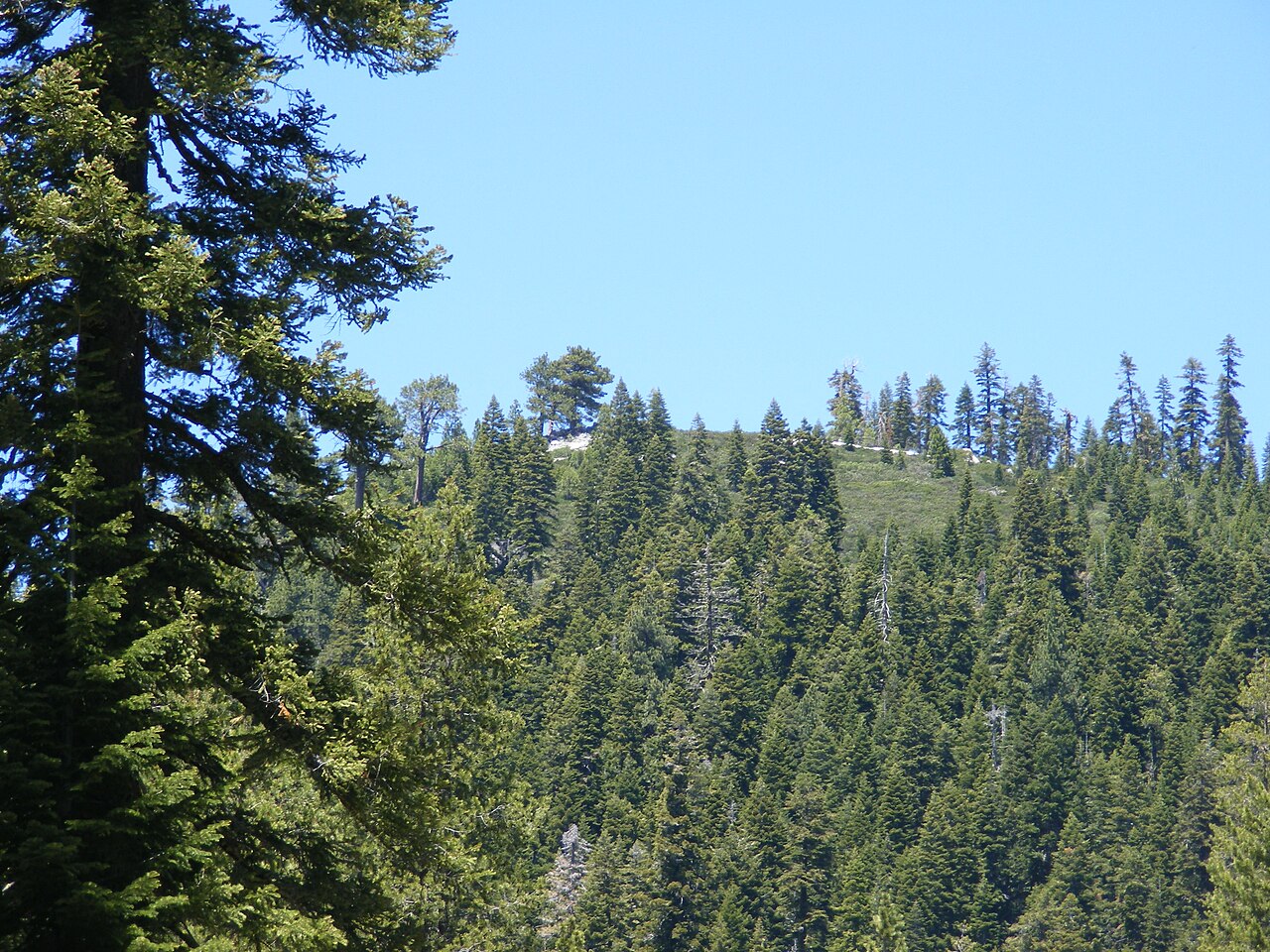
Cold Stream
- 10.6 mi
- distance
- 6,435 ft
- high point
- Jun–Aug
- best months
Is Cold Stream open right now?
Alert in the area
The Forest Service lists an alert for Tahoe National Forest.
Camping and Campfire Restrictions-Truckee and Sierraville Districts
Agency alert covering Tahoe National Forest · Order 17-25-05 · USFS · Tahoe National Forest
As of · Source: USFS · Tahoe National Forest. Agencies don't list every closure — check before you go.
Cold Stream is a paddling route of about 10.6 miles near Sierraville, California, running through the Sierraville Ranger District of Tahoe National Forest, where the Forest Service manages the land along its banks. This is a steep creek, dropping about 143.5 feet per mile, with an average flow of roughly 61 cubic feet per second. It is intermittent and may run dry in some seasons, so the water you find depends on when you go. Summer brings the mildest weather. Typical averages from the nearby Sagehen Creek weather station put July highs around 80°F, with nights dipping to the upper 30s. Cottonwood campground sits less than a mile away, and Cold Creek campground is about 1.3 miles off. Other paddling routes nearby include the Little Truckee River and Independence Creek, each roughly 6 miles away.
Local outfitters
- Truckee River Rafting29 mi away
- Obexer's Boat Company34 mi away
Not on Roamze yet. Their page has how to reach them.
- CottonwoodCamping0.8 mi
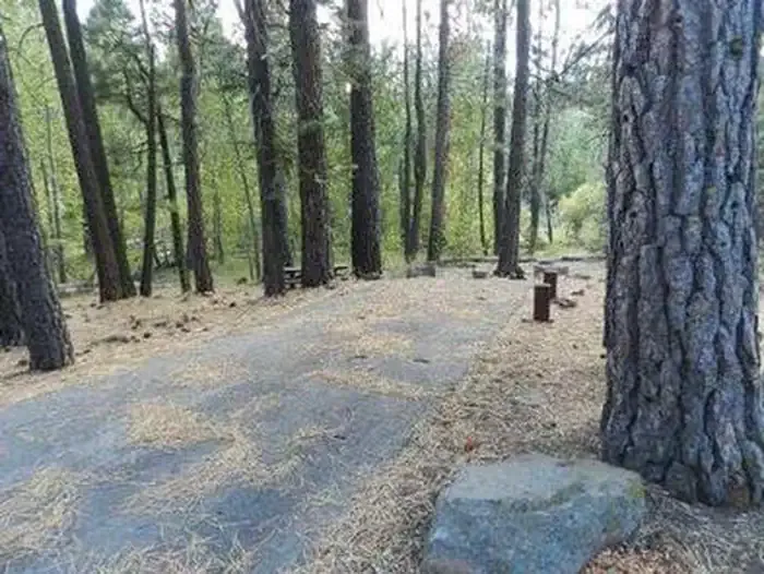 Cottonwood CreekCampingPhoto: Recreation.gov (RIDB) / public domain0.9 mi
- Cottonwood Overlook TrailHiking1.1 mi
- Cottonwood FishermanHiking1.2 mi
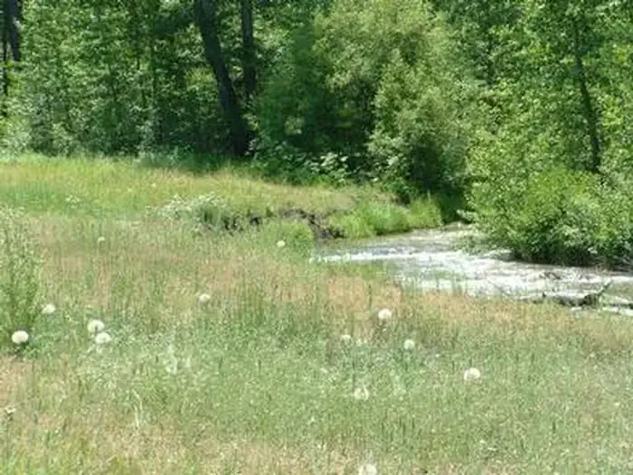 Cold CreekCampingPhoto: Recreation.gov (RIDB) / public domain1.3 mi
- TREASURE MOUNTAIN LOOPHiking4.4 mi
 Little Truckee RiverCanoeingPhoto: tomhilton, CC BY 2.0 (via Wikimedia Commons)5.7 mi
- Independence CreekCanoeing5.9 mi
Source: Roamze catalog (indexable pages within 10 miles, PostGIS distance)
- Little Truckee RiverCanoeing · ~10 min drivePhoto: tomhilton, CC BY 2.0 (via Wikimedia Commons)
- Pass Creek Boat RampBoat launch · ~20 min drive
- BergerFloat trip · ~30 min drive
 Middle Fork Feather RiverCanoeing · ~31 min drivePhoto: Frank Schulenburg, CC BY-SA 4.0 (via Wikimedia Commons)
- Woodcamp-BoatBoat launch · ~22 min drive
 Martis CreekCanoeing · ~36 min drivePhoto: Schmiebel, CC BY-SA 3.0 (via Wikimedia Commons)
- Prosser Boat RampBoat launch · ~26 min drive
 North Fork American RiverCanoeing · ~37 min drivePhoto: Moiseiko, CC BY-SA 3.0 (via Wikimedia Commons)
- Prosser Dam Boat LaunchBoat launch · ~27 min drive
- Smithneck CreekCanoeing · ~14 min drive
Best time to visit Cold Stream
Best months: June–August. Best months have typical highs of 55–85 °F, lows of 30 °F or warmer (32 °F where the station doesn't record snow), at most one snowy day and no more than 12 wet days.
Jan
40° / 15°
Feb
41° / 15°
Mar
48° / 19°
Apr
53° / 22°
May
62° / 28°
Jun
72° / 32°
Jul
80° / 37°
Aug
79° / 35°
Sep
73° / 31°
Oct
61° / 24°
Nov
49° / 20°
Dec
39° / 14°
Typical high / low (°F) and days with rain or snow, 1991–2020. Measured at Sagehen Creek, CA, 9.9 mi away at 6,337 ft. This station doesn't record snowfall. Source: NOAA NCEI U.S. Climate Normals 1991–2020.