Upper Little Truckee
Campground
Campground · 3.4 mi from the trail
 Photo: tomhilton, CC BY 2.0 (via Wikimedia Commons)
Alert in the area
The Forest Service lists an alert for Tahoe National Forest.
Camping and Campfire Restrictions-Truckee and Sierraville Districts
Agency alert covering Tahoe National Forest · Order 17-25-05 · USFS · Tahoe National Forest
As of · Source: USFS · Tahoe National Forest. Agencies don't list every closure — check before you go.
The Little Truckee River is a canoeing route in California's Tahoe National Forest, within the Sierraville Ranger District and managed by the Forest Service. Paddlers will find two campgrounds on the river itself: Upper Little Truckee and Lower Little Truckee, both within about 4 miles. Independence Creek, another canoeing spot, lies about 1.4 miles away. Summer is the most comfortable time to paddle. Typical averages from the Sagehen Creek weather station, about 4.6 miles away, put July highs near 80°F with lows around 37°F. That station sits roughly 1,500 feet lower than the river, so expect temperatures on the water to run cooler. Independence Lake Loop and the Independence Lake South Shore Trail are both about 2 miles from the river. Climbers can head to Prosser Hill, about 8 miles off, and Summit Lake Boulders, about 9 miles away.
Upper Little Truckee
Campground
Alder Creek Cafe
Restaurant
Places © OpenStreetMap contributors
More in Sunnyside-Tahoe CityNot on Roamze yet. Their page has how to reach them.
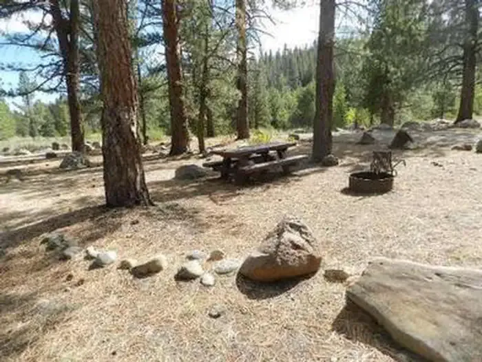 Upper Little TruckeeCampingPhoto: Recreation.gov (RIDB) / public domain3.4 mi
Source: Roamze catalog (indexable pages within 10 miles, PostGIS distance)
 North Fork American RiverCanoeing · ~28 min drivePhoto: Moiseiko, CC BY-SA 3.0 (via Wikimedia Commons)
 Middle Fork Feather RiverCanoeing · ~41 min drivePhoto: Frank Schulenburg, CC BY-SA 4.0 (via Wikimedia Commons)
 Martis CreekCanoeing · ~26 min drivePhoto: Schmiebel, CC BY-SA 3.0 (via Wikimedia Commons)
Also worth it near here
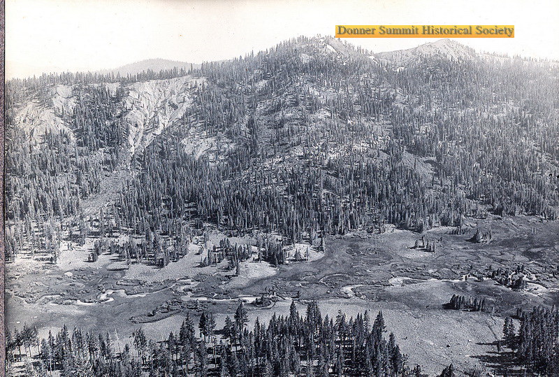 Carpenter Valley Loop TrailHiking · ~9 min drivePhoto: donner summit historical society, Public Domain Mark (via Flickr)
 Warren LakeMountain biking · ~11 min drivePhoto: Scott Thompson, CC BY 3.0 (via Wikimedia Commons)
Best months: June–August. Best months have typical highs of 55–85 °F, lows of 30 °F or warmer (32 °F where the station doesn't record snow), at most one snowy day and no more than 12 wet days.
Jan
40° / 15°
Feb
41° / 15°
Mar
48° / 19°
Apr
53° / 22°
May
62° / 28°
Jun
72° / 32°
Jul
80° / 37°
Aug
79° / 35°
Sep
73° / 31°
Oct
61° / 24°
Nov
49° / 20°
Dec
39° / 14°
Typical high / low (°F) and days with rain or snow, 1991–2020. Measured at Sagehen Creek, CA, 4.6 mi away at 6,337 ft. The station sits about 1,500 ft lower than this place, so expect it a little cooler here. This station doesn't record snowfall. Source: NOAA NCEI U.S. Climate Normals 1991–2020.
