Pass Creek Loop
 Photo: M. Rhodes Photography, Public Domain Mark (via Flickr)
- 7.7 mi
- round trip
- 2,399 ft
- climb
- 6,941 ft
- high point
- Out and back
- route
- Jun–Aug
- best months
Is PASS CREEK LOOP open right now?
Alert in the area
The Forest Service lists an alert for Tahoe National Forest.
Camping and Campfire Restrictions-Truckee and Sierraville Districts
Agency alert covering Tahoe National Forest · Order 17-25-05 · USFS · Tahoe National Forest
As of · Source: USFS · Tahoe National Forest. Agencies don't list every closure — check before you go.
Pass Creek Loop is a hard hike in the Sierraville Ranger District of Tahoe National Forest in California, managed by the Forest Service. The route is an out-and-back of about 15 miles, with a one-way climb of roughly 1,450 feet and a total round-trip gain of about 2,400 feet. The trail starts near 6,200 feet and reaches a high point of about 6,940 feet, and the steepest stretch comes within the first mile at about 13%. Summer is the most comfortable time to go. Typical averages from the nearby Sagehen Creek weather station, which sits a few hundred feet lower, show July highs around 80°F with lows near 37°F, while winter highs stay in the low 40s. Pass Creek campground and the Pacific Crest Trail both lie about 0.2 miles from the trail, and Jackson Meadow Reservoir is about 1.2 miles away. The Lasier Mdw PCT Tie Trail is about 1.4 miles off.
Local outfitters
- Alpenglow Expeditions27 mi away
Not on Roamze yet. Their page has how to reach them.
Best time to go · Jun–Aug
Best time to visit PASS CREEK LOOP
Best months: June–August. Best months have typical highs of 55–85 °F, lows of 30 °F or warmer (32 °F where the station doesn't record snow), at most one snowy day and no more than 12 wet days.
Jan
40° / 15°
Feb
41° / 15°
Mar
48° / 19°
Apr
53° / 22°
May
62° / 28°
Jun
72° / 32°
Jul
80° / 37°
Aug
79° / 35°
Sep
73° / 31°
Oct
61° / 24°
Nov
49° / 20°
Dec
39° / 14°
Typical high / low (°F) and days with rain or snow, 1991–2020. Measured at Sagehen Creek, CA, 16.3 mi away at 6,337 ft. The station sits about 600 ft lower than this place, so expect it a little cooler here. This station doesn't record snowfall. Source: NOAA NCEI U.S. Climate Normals 1991–2020.
Keep exploring — more trails worth the drive
Photo: M. Rhodes Photography, Public Domain Mark (via Flickr)Pacific Crest Trail
Next door
5.08-mile out-and-back trail on the Pacific Crest Trail in California with 1,898 ft gain/loss.
 Photo: Ken Lund, CC BY-SA 2.0 (via Flickr)
Pacific Crest Trail
~3 min drive
16.74-mile out-and-back trail in California with 4,208 ft gain/loss
 Photo: Ken Lund, CC BY-SA 2.0 (via Flickr)
Wild Plum Loop
~10 min drive
1.5-mile out-and-back trail in California with 305 ft elevation gain.
 Photo: ray_explores, CC BY 2.0 (via Flickr)
Beyers Lake Trail (13E15)
~14 min drive
9.56-mile out-and-back hike in California with 2,755 ft elevation gain and loss.
Photo: Ken Lund, CC BY-SA 2.0 (via Flickr)Hilda Mine Trail
~9 min drive
2.94-mile out-and-back hike in California with 1,954 ft gain/loss
 Photo: Matthew Rhodes, CC0 (via Wikimedia Commons)
BALD RIDGE LOOP
~6 min drive
28.9-mile out-and-back out-and-back in California with 4,778 ft elevation gain
Photo: Ken Lund, CC BY-SA 2.0 (via Flickr)Wild Plum Loop Trail
~10 min drive
1.98-mile out-and-back trail in California with 696 ft elevation gain/loss.
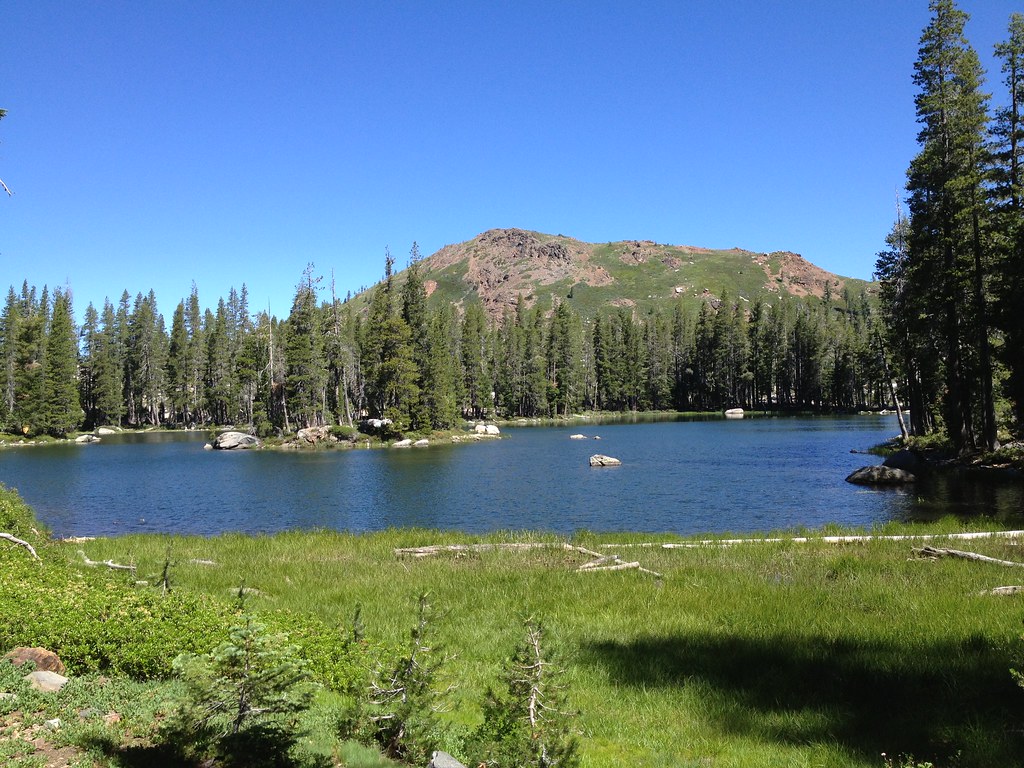 Photo: ray_explores, CC BY 2.0 (via Flickr)
Crooked Lakes Trail
~16 min drive
6.60-mile out-and-back hike in California with 628 ft elevation gain.
Photo: Ken Lund, CC BY-SA 2.0 (via Flickr)Haypress Creek Trail
~9 min drive
1.36-mile out-and-back trail in California with 426 ft elevation gain.
 Photo: Ken Lund, CC BY-SA 2.0 (via Flickr)
Pacific Crest Trail
~11 min drive
24.34-mile out-and-back trail in California with 6,022 ft elevation gain/loss
