Cleghorn Ridge Trail
 Photo: GSEC, CC BY 2.0 (via Flickr)
- 0.7 mi
- round trip
- 493 ft
- climb
- 5,147 ft
- high point
- Out and back
- route
- Apr–Oct
- best months
Is Cleghorn Ridge Trail open right now?
Alert in the area
The Forest Service lists 4 alerts for San Bernardino National Forest.
Safety Alert - Falling Rocks at Bonita Falls
Agency alert covering San Bernardino National Forest · USFS · San Bernardino National Forest
Upper Big Falls Area Closure
Agency alert covering Front Country Ranger District · Order 05-12-53-26-03 · USFS · Front Country Ranger District
Fire Restrictions
Agency alert covering San Bernardino National Forest · Order 05-12-00-26-05 · USFS · San Bernardino National Forest
Applewhite Picnic Area Closure
Agency alert covering Front Country Ranger District · Order 05-12-53-26-01 · USFS · Front Country Ranger District
As of · Source: USFS · San Bernardino National Forest. Agencies don't list every closure — check before you go.
Cleghorn Ridge Trail is a 0.7-mile hike in the Front Country Ranger District of San Bernardino National Forest, managed by the Forest Service. The route is out and back, about 1.4 miles long, with a high point of 5,147 feet and a low of 4,770 feet. It starts at 4,770 feet and climbs roughly 490 feet over the course of the hike, with the steepest stretch at about 0.23 miles from the start, where the grade reaches 25%. For comfortable conditions, late spring and early fall stand out. Typical averages from the Lake Arrowhead weather station, about 14 miles away at a similar elevation, show May highs around 67°F and September highs around 74°F, with only one or two wet days in each month. Winter brings highs in the low 40s and a few days when snow was on the ground. That station sits at 5,205 feet, so temperatures on the trail may run a little cooler. Summit Trail lies about 2.5 miles away, and Baldy Mesa Ridge Trail is about 4.8 miles off. Lake Gregory County Regional Park, about 9.8 miles away, offers lake fishing, and the Lake Arrowhead Area climbing area is about 7.7 miles away.
 Summit TrailHikingPhoto: InSapphoWeTrust from Los Angeles, California, USA, CC BY-SA 2.0 (via Wikimedia Commons)2.5 mi
 Baldy Mesa Ridge TrailHikingPhoto: Chanilim714, CC BY-SA 3.0 (via Wikimedia Commons)4.8 mi
 Cleghorn TrailHikingPhoto: Moo.The.Cow, CC BY 2.0 (via Flickr)5.2 mi
- power pole inspector pathHiking5.2 mi
- Lytle Creek - Cajon Pass Recreation AreaRiver fishing5.3 mi
- Cajon WashCanoeing7.7 mi
 Lake Arrowhead AreaRock climbingPhoto: bdearth, CC BY 2.0 (via Flickr)7.7 mi
- Lake Gregory County Regional ParkLake fishing9.8 mi
Source: Roamze catalog (indexable pages within 10 miles, PostGIS distance)
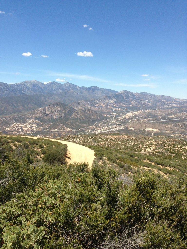 Cleghorn Ridge TrailHiking · ~2 min drivePhoto: Stiggs13, CC BY 2.0 (via Flickr)
- Baldy Mesa Ridge TrailHiking · ~8 min drivePhoto: Chanilim714, CC BY-SA 3.0 (via Wikimedia Commons)
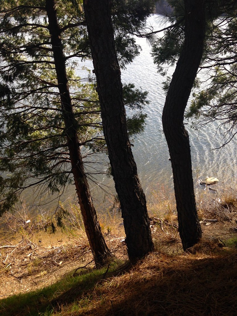 Lake Gregory TrailHiking · ~17 min drivePhoto: bdearth, CC BY 2.0 (via Flickr)
- Cloudland Truck TrailHiking · ~16 min drive
 Cleghorn Ridge TrailHiking · ~2 min drivePhoto: Stiggs13, CC BY 2.0 (via Flickr)
 Middlefork - WildernessHiking · ~13 min drivePhoto: joedecruyenaere on Flickr, CC BY-SA 2.0 (via Wikimedia Commons)
 Three Ts TrailHiking · ~17 min drivePhoto: inkknife_2000 (7.5 million views +), CC BY-SA 2.0 (via Wikimedia Commons)
- Summit TrailHiking · ~4 min drivePhoto: InSapphoWeTrust from Los Angeles, California, USA, CC BY-SA 2.0 (via Wikimedia Commons)
 Three T'sHiking · ~17 min drivePhoto: inkknife_2000 (7.5 million views +), CC BY-SA 2.0 (via Wikimedia Commons)
- Devils Backbone TrailHiking · ~18 min drivePhoto: inkknife_2000 (7.5 million views +), CC BY-SA 2.0 (via Wikimedia Commons)
Best time to visit Cleghorn Ridge Trail
Best months: April–October. Best months have typical highs of 55–85 °F, lows of 30 °F or warmer (32 °F where the station doesn't record snow), at most one snowy day and no more than 12 wet days.
Jan
44° / 29°
6 wet · 1 snow
Feb
45° / 30°
6 wet · 1 snow
Mar
52° / 32°
6 wet · 1 snow
Apr
60° / 36°
4 wet · 1 snow
May
67° / 41°
2 wet
Jun
76° / 49°
1 wet
Jul
81° / 57°
1 wet
Aug
82° / 57°
1 wet
Sep
74° / 52°
1 wet
Oct
63° / 43°
2 wet
Nov
52° / 34°
3 wet
Dec
43° / 29°
5 wet · 1 snow
Typical high / low (°F) and days with rain or snow, 1991–2020. Measured at Lake Arrowhead, CA, 14.4 mi away at 5,205 ft. Source: NOAA NCEI U.S. Climate Normals 1991–2020.
Map and trail data © OpenStreetMap contributors
