Cleghorn Trail
 Photo: Moo.The.Cow, CC BY 2.0 (via Flickr)
- 0.3 mi
- round trip
- 186 ft
- climb
- 3,407 ft
- high point
- Out and back
- route
- Oct–May
- best months
Is Cleghorn Trail open right now?
Closure in the area
There's a closure order in Mountaintop Ranger District. It doesn't name Cleghorn Trail, so check the source for the area it covers.
Radford Fire Closure Area
Agency closure covering Mountaintop Ranger District · Order 05-12-52-24-06 · USFS · Mountaintop Ranger District
Safety Alert - Falling Rocks at Bonita Falls
Agency alert covering San Bernardino National Forest · USFS · San Bernardino National Forest
Fire Restrictions
Agency alert covering San Bernardino National Forest · Order 05-12-00-26-05 · USFS · San Bernardino National Forest
As of · Source: USFS · Mountaintop Ranger District. Agencies don't list every closure — check before you go.
Cleghorn Trail is a short, easy hike in Silverwood Lake State Recreation Area, set within the Mountaintop Ranger District of San Bernardino National Forest. State Park and Recreation manages the land, and the trail starts at about 3,340 feet, reaching a high of roughly 3,407 feet on its out-and-back route. The climb is front-loaded, with the steepest stretch at about 0.12 miles, and the total round-trip gain is 186 feet. Spring and fall are the most comfortable times to go. Typical averages from a nearby weather station in Hesperia put April highs around 75°F and October highs near 80°F, while July and August average about 97°F. Cleghorn Ridge Trail is about a mile away, and Sawpit Canyon Trail and the Lake Arrowhead Area climbing area are both within about 3 miles. Lake Gregory County Regional Park, a lake fishing spot, is roughly 4.9 miles off.
 Cleghorn Ridge TrailHikingPhoto: strib1946, CC BY 3.0 (via Wikimedia Commons)1.1 mi
- Sawpit Canyon TrailHiking1.4 mi
- power pole inspector pathHiking1.8 mi
 Lake Arrowhead AreaRock climbingPhoto: bdearth, CC BY 2.0 (via Flickr)2.7 mi
- Lake Gregory County Regional ParkLake fishing4.9 mi
- Temple RockRock climbing6.5 mi
- Cajon WashCanoeing6.9 mi
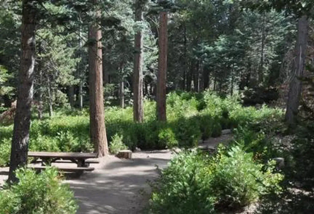 DogwoodCampingPhoto: Recreation.gov (RIDB) / public domain8.2 mi
Source: Roamze catalog (indexable pages within 10 miles, PostGIS distance)
- Cleghorn Ridge TrailHiking · ~2 min drivePhoto: strib1946, CC BY 3.0 (via Wikimedia Commons)
- Heart RockHiking · ~5 min drivePhoto: bdearth — CC BY 2.0 (via Flickr)
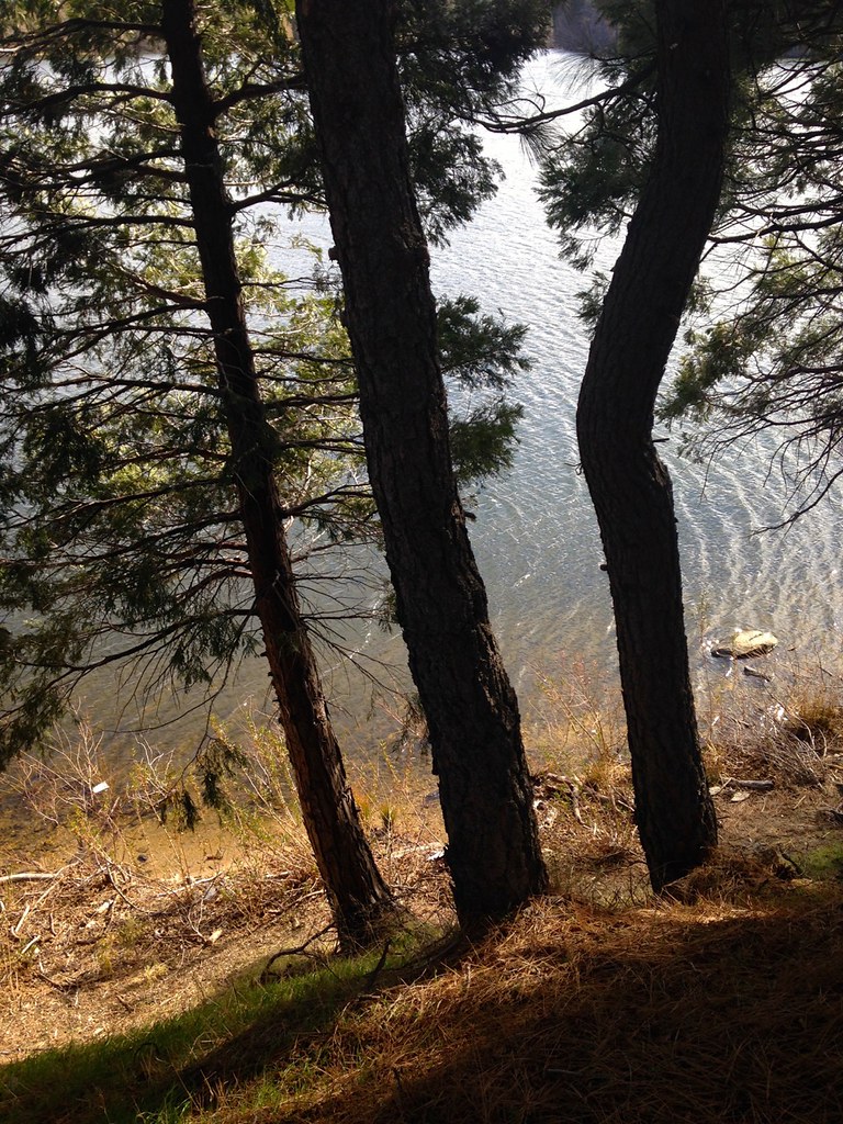 Lake Gregory TrailHiking · ~9 min drivePhoto: bdearth, CC BY 2.0 (via Flickr)
- Cloudland Truck TrailHiking · ~9 min drive
 Pilot Rock TrailHiking · ~8 min drivePhoto: GSEC, CC BY 2.0 (via Flickr)
 Cleghorn Ridge TrailHiking · ~7 min drivePhoto: Stiggs13, CC BY 2.0 (via Flickr)
 Cleghorn Ridge TrailHiking · ~9 min drivePhoto: GSEC, CC BY 2.0 (via Flickr)
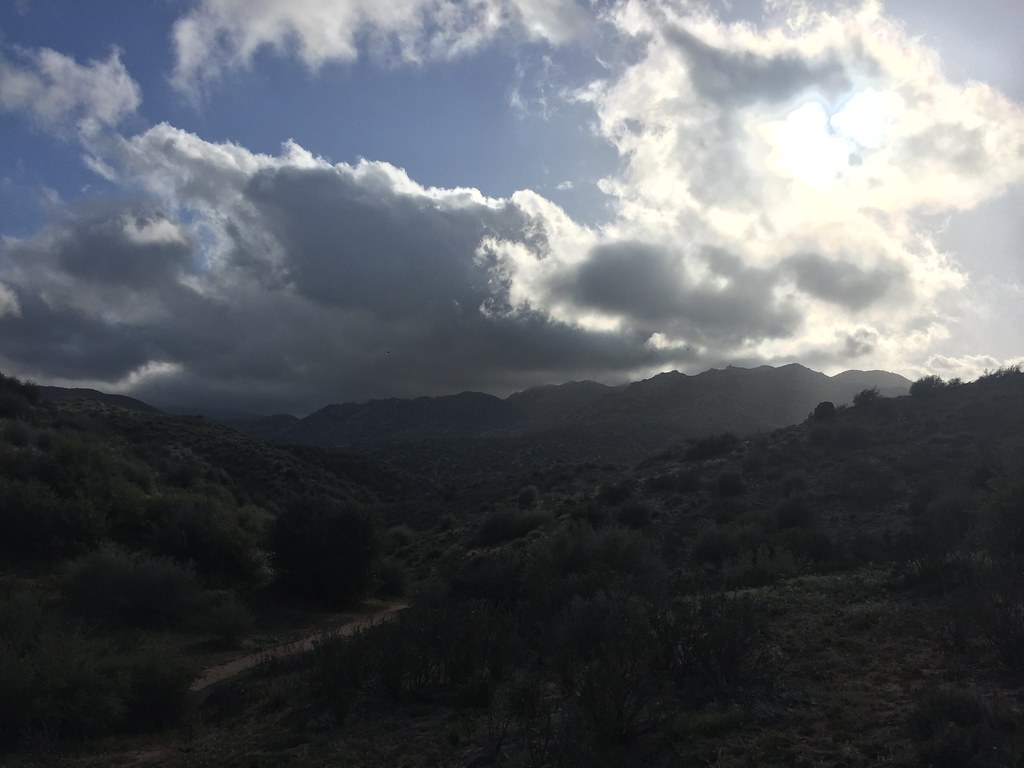 Bradford Ridge PathHiking · ~15 min drivePhoto: Rainhead, CC BY-SA 2.0 (via Flickr)
 Summit TrailHiking · ~10 min drivePhoto: InSapphoWeTrust from Los Angeles, California, USA, CC BY-SA 2.0 (via Wikimedia Commons)
 MetateHiking · ~13 min drivePhoto: USFWS Pacific Southwest Region, Public Domain Mark (via Flickr)
Best time to visit Cleghorn Trail
Best months: October–May. Best months have typical highs of 55–85 °F, lows of 30 °F or warmer (32 °F where the station doesn't record snow), at most one snowy day and no more than 12 wet days.
Jan
60° / 37°
Feb
62° / 39°
Mar
69° / 42°
Apr
75° / 46°
May
82° / 53°
Jun
92° / 59°
Jul
97° / 65°
Aug
97° / 65°
Sep
91° / 61°
Oct
80° / 51°
Nov
67° / 42°
Dec
59° / 35°
Typical high / low (°F) and days with rain or snow, 1991–2020. Measured at Hesperia 2e, CA, 10.2 mi away at 3,055 ft. This station doesn't record snowfall. Source: NOAA NCEI U.S. Climate Normals 1991–2020.
Map and trail data © OpenStreetMap contributors
