Lytle Creek - Cajon Pass Recreation Area
- Oct–May
- best months
Is Lytle Creek - Cajon Pass Recreation Area open right now?
Alert in the area
The Forest Service lists 4 alerts for San Bernardino National Forest.
Safety Alert - Falling Rocks at Bonita Falls
Agency alert covering San Bernardino National Forest · USFS · San Bernardino National Forest
Upper Big Falls Area Closure
Agency alert covering Front Country Ranger District · Order 05-12-53-26-03 · USFS · Front Country Ranger District
Fire Restrictions
Agency alert covering San Bernardino National Forest · Order 05-12-00-26-05 · USFS · San Bernardino National Forest
Applewhite Picnic Area Closure
Agency alert covering Front Country Ranger District · Order 05-12-53-26-01 · USFS · Front Country Ranger District
As of · Source: USFS · San Bernardino National Forest. Agencies don't list every closure — check before you go.
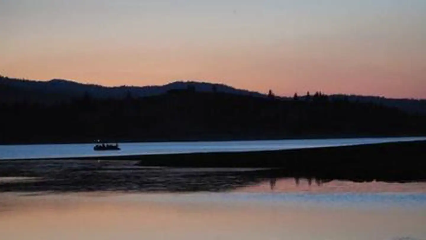
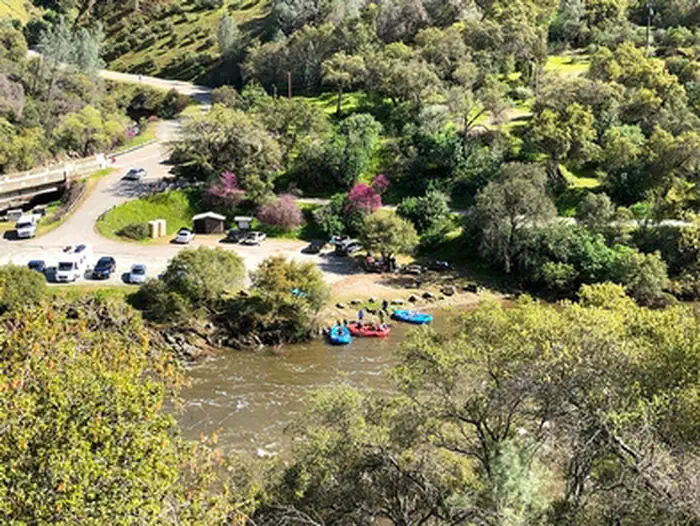
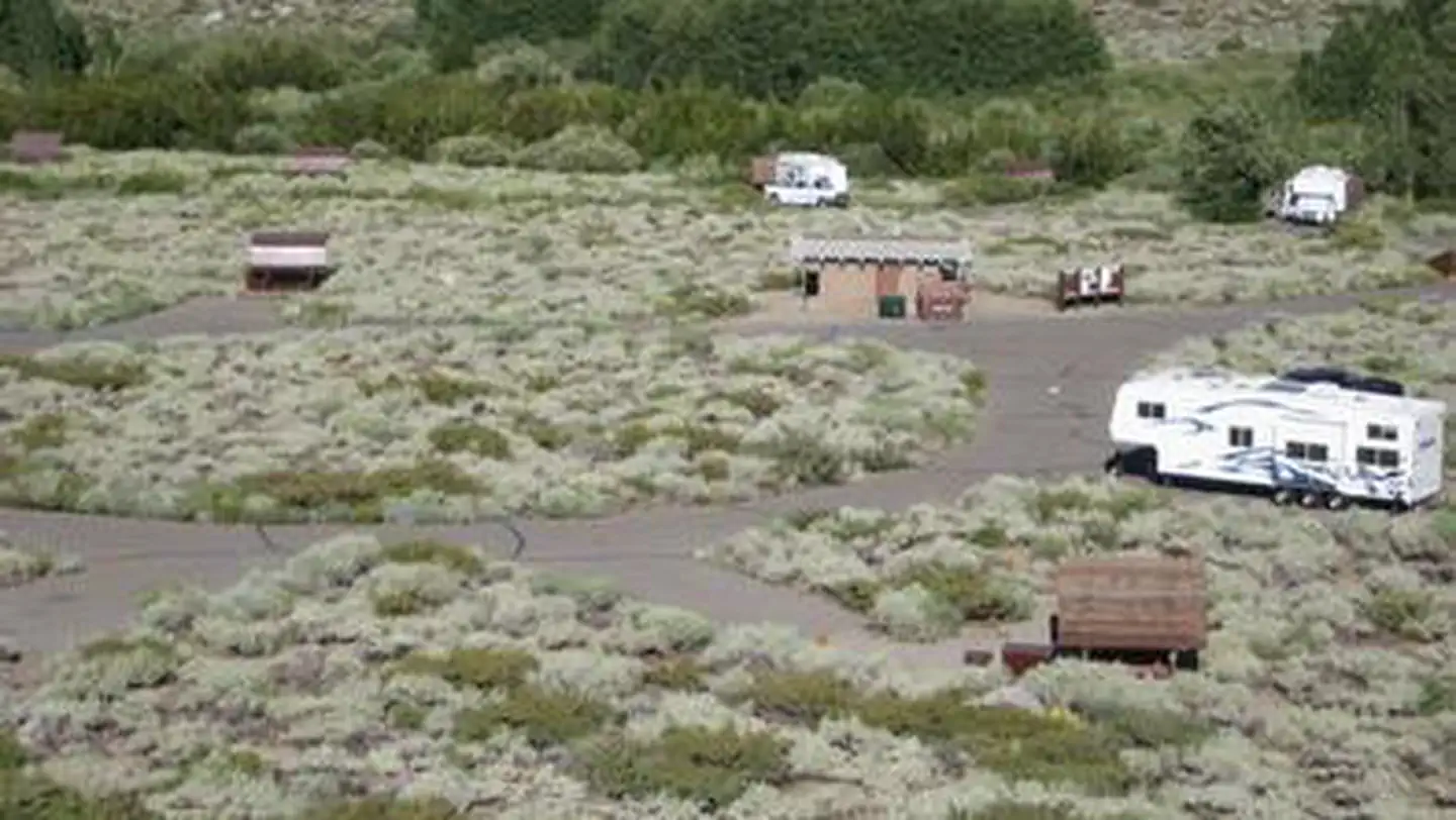
Lytle Creek - Cajon Pass Recreation Area is a Forest Service river fishing spot in the Front Country Ranger District of San Bernardino National Forest in California. It sits within the Cajon Pass area, and the nearest town is Hesperia, about 18 miles away. Spring and fall are the most comfortable times to visit. Typical averages from a nearby weather station in Hesperia show April highs around 75°F and October highs around 80°F, while July and August average about 97°F. The recreation area is not reservable, so plan on arriving and fishing without a reservation. The Chaparral Neighborhood hike starts just 0.1 mile away, and the Middlefork Non Wilderness hike is about 3.7 miles off. Paddlers can head to Cajon Wash, roughly 5.9 miles away, and climbers will find Icehouse Canyon about 8 miles from the area.
 Chaparral NeighborhoodHikingPhoto: inkknife_2000 (7.5 million views +), CC BY-SA 2.0 (via Wikimedia Commons)0.1 mi
- Middlefork Non WildernessHiking3.7 mi
 Stonehouse - Stonehouse Cut-OfHikingPhoto: joedecruyenaere on Flickr, CC BY-SA 2.0 (via Wikimedia Commons)4 mi
- Cajon WashCanoeing5.9 mi
- Lytle Creek WashCanoeing8 mi
- Icehouse CanyonRock climbing8.1 mi
- Mount Baldy RoadRock climbing8.9 mi
- Manker FlatCamping8.9 mi
Source: Roamze catalog (indexable pages within 10 miles, PostGIS distance)
- San GorgonioSaltwater fishing · ~1h 1m drive
- DogwoodLake fishing · ~26 min drive
- West Fork Fishing AccessRiver fishing · ~38 min drive
- Lobo GroupSaltwater fishing · ~1h 1m drive
- Lake Gregory County Regional ParkLake fishing · ~20 min drive
- CouncilSaltwater fishing · ~59 min drive
- Turner 1 BasinLake fishing · ~22 min drive
- Oso GroupSaltwater fishing · ~1h 1m drive
- Lake Arrowhead - Green Valley Lake Recreation AreaLake fishing · ~30 min drive
- Lake Los SerranosLake fishing · ~38 min drive
Also worth it near here
- Tylers Bath SpringHot spring · Next door
- Bonita Ranch CampgroundCamping · ~2 min drive
 Bonita FallsWaterfall · ~2 min drivePhoto: San Bernardino Nat'l Forest, Public domain (via Wikimedia Commons)
- Stonehouse - Stonehouse Cut-OfHiking · ~7 min drivePhoto: joedecruyenaere on Flickr, CC BY-SA 2.0 (via Wikimedia Commons)
Best time to visit Lytle Creek - Cajon Pass Recreation Area
Best months: October–May. Best months have typical highs of 55–85 °F, lows of 30 °F or warmer (32 °F where the station doesn't record snow), at most one snowy day and no more than 12 wet days.
Jan
60° / 37°
Feb
62° / 39°
Mar
69° / 42°
Apr
75° / 46°
May
82° / 53°
Jun
92° / 59°
Jul
97° / 65°
Aug
97° / 65°
Sep
91° / 61°
Oct
80° / 51°
Nov
67° / 42°
Dec
59° / 35°
Typical high / low (°F) and days with rain or snow, 1991–2020. Measured at Hesperia 2e, CA, 17.8 mi away at 3,055 ft. This station doesn't record snowfall. Source: NOAA NCEI U.S. Climate Normals 1991–2020.