Hand Launch
- Oct–May
- best months
Is Hand Launch open right now?
Closure in the area
There's a closure order in Mountaintop Ranger District. It doesn't name Hand Launch, so check the source for the area it covers.
Radford Fire Closure Area
Agency closure covering Mountaintop Ranger District · Order 05-12-52-24-06 · USFS · Mountaintop Ranger District
Safety Alert - Falling Rocks at Bonita Falls
Agency alert covering San Bernardino National Forest · USFS · San Bernardino National Forest
Fire Restrictions
Agency alert covering San Bernardino National Forest · Order 05-12-00-26-05 · USFS · San Bernardino National Forest
As of · Source: USFS · Mountaintop Ranger District. Agencies don't list every closure — check before you go.
Hand Launch is a boat launch in Silverwood Lake State Recreation Area, within the Mountaintop Ranger District of San Bernardino National Forest in California. The nearest town is Crestline, about 4 miles away, and the land is managed by State Park and Recreation. Spring and fall are the most comfortable times to visit. Typical averages from a nearby weather station in Hesperia show April highs around 75°F and October highs around 80°F, while July and August average highs near 97°F. The Cleghorn Trail starts just 0.1 mile away, and the Cleghorn Ridge Trail and Sawpit Canyon Trail are both within about a mile and a half. Climbers can head to the Lake Arrowhead Area, roughly 2.7 miles off.
- Managed by
- State Park and Recreation
 Cleghorn TrailHikingPhoto: Moo.The.Cow, CC BY 2.0 (via Flickr)0.1 mi
 Cleghorn Ridge TrailHikingPhoto: strib1946, CC BY 3.0 (via Wikimedia Commons)1.1 mi
- Sawpit Canyon TrailHiking1.4 mi
 Lake Arrowhead AreaRock climbingPhoto: bdearth, CC BY 2.0 (via Flickr)2.7 mi
- Lake Gregory County Regional ParkLake fishing4.9 mi
- Temple RockRock climbing6.5 mi
- Cajon WashCanoeing6.9 mi
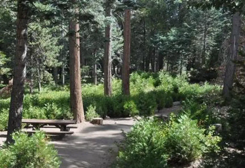 DogwoodCampingPhoto: Recreation.gov (RIDB) / public domain8.2 mi
Source: Roamze catalog (indexable pages within 10 miles, PostGIS distance)
 Santa Ana RiverCanoeing · ~29 min drivePhoto: Basar, CC BY-SA 3.0 (via Wikimedia Commons)
- Carol Morrison East Boat RampBoat launch · ~45 min drive
 San Gabriel RiverCanoeing · ~47 min drivePhoto: Emarateyya, Muna Al Zaabi, CC BY-SA 3.0 (via Wikimedia Commons)
- Eastport Launch RampBoat launch · ~1h 13m drive
 West Fork San Gabriel RiverCanoeing · ~1h 1m drivePhoto: Eeekster, CC BY 3.0 (via Wikimedia Commons)
- Sun & Sail ClubBoat launch · ~1h 24m drive
 Mojave RiverCanoeing · ~1h 13m drivePhoto: Eeekster, CC BY 3.0 (via Wikimedia Commons)
 Rio HondoCanoeing · ~1h 18m drivePhoto: Cromagnom, CC BY-SA 3.0 (via Wikimedia Commons)
 Whitewater RiverCanoeing · ~1h 26m drivePhoto: Famartin, CC BY-SA 4.0 (via Wikimedia Commons)
- Cajon WashCanoeing · ~12 min drive
Best time to visit Hand Launch
Best months: October–May. Best months have typical highs of 55–85 °F, lows of 30 °F or warmer (32 °F where the station doesn't record snow), at most one snowy day and no more than 12 wet days.
Jan
60° / 37°
Feb
62° / 39°
Mar
69° / 42°
Apr
75° / 46°
May
82° / 53°
Jun
92° / 59°
Jul
97° / 65°
Aug
97° / 65°
Sep
91° / 61°
Oct
80° / 51°
Nov
67° / 42°
Dec
59° / 35°
Typical high / low (°F) and days with rain or snow, 1991–2020. Measured at Hesperia 2e, CA, 10.2 mi away at 3,055 ft. This station doesn't record snowfall. Source: NOAA NCEI U.S. Climate Normals 1991–2020.
Map and trail data © OpenStreetMap contributors
