Loading…

Free — you'll pick up right here.
Watch this trail
Sign up to watch it — saving subscribes you to gate, closure and report changes.
California
10.4 mi
Distance
1,637 ft
Gain
We won't guess. Here is exactly what we do and don't know.
What we do know
Inside San Bernardino National Forest
2 managing-area boundaries mapped — agency alerts for them feed this page automatically.
Boundary data
What's missing
No access route mapped
We don't yet know which road reaches this trailhead, so we can't tell you if it's gated.
Nobody's filed a report here yet — be the first.
Why you'll love it
Baldy Mesa Ridge Trail
AI-suggested draft · review before you go
No permit or access details on file for this trail — check with the local land manager before you go.
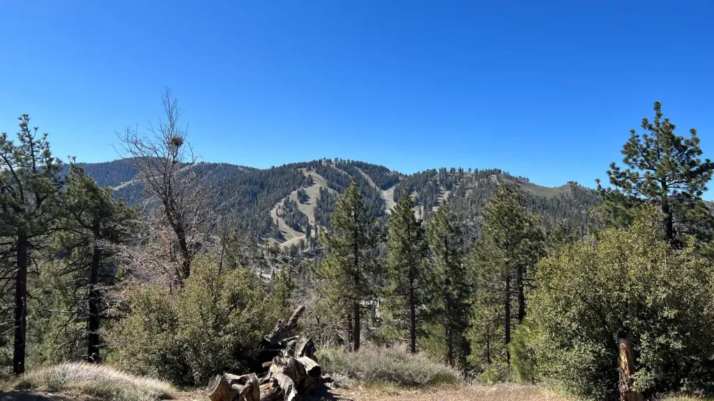
Baldy Mesa Ridge Trail offers a moderately challenging 10.43-mile ridge walk with over 1,600 feet of elevation gain through the California high desert landscape. This trail features expansive ridge-line views and traverses open terrain typical of the Mojave or inland desert regions, providing excellent vistas of surrounding peaks and valleys. The ridge setting creates an exposed but rewarding hiking experience for those seeking solitude and panoramic desert scenery.
Manzanita Wash Loop
~4 min drive
8.8-mile desert loop with 569 ft gain through scenic washes.
Mormon Rocks Interpretive Tr.
~6 min drive
Easy 2-mile interpretive loop through desert rocks and chaparral.
Devils Backbone Trail
~17 min drive
Steep 5.4-mile ridge climb with 2,642 ft elevation gain and panoramic views.
Phelan Loop
~7 min drive
Moderate 6.1-mile desert loop with 500 ft elevation gain near Phelan.
Middlefork Non Wilderness
~14 min drive
Steep 2.8-mile Sierra foothill climb with 1,242 ft elevation gain.
Ontario Peak Trail
~19 min drive
Moderate 5-mile climb to Ontario Peak with 1,921 ft elevation gain.
Middlefork - Wilderness
~15 min drive
Steep wilderness climb with significant elevation gain and remote alpine scenery.
Stonehouse - Stonehouse Cut-Of
~15 min drive
Steep 1.6-mile connector with 1,010 ft gain—intense elevation challenge.
Baldy Bowl Trail
~19 min drive
Steep 3-mile climb with 2,275 ft gain in the San Gabriel Mountains.
North Devils Backbone
~16 min drive
Steep ridgeline climb with 3,395 ft gain; challenging day hike for experienced hikers.