Chute
- 8.0 mi
- round trip
- 2,658 ft
- climb
- 5,789 ft
- high point
- Out and back
- route
- Jan–Jun, Sep–Nov
- best months
Is Chute open right now?
Closure in the area
There's a closure order in Sequoia National Forest. It doesn't name Chute, so check the source for the area it covers (2 listed).
Tule River Glass Container Prohibition Area
Agency closure covering Sequoia National Forest · Order 0513-26-02 · USFS · Sequoia National Forest
Trail of 100 Giants Boardwalk and Area Closure
Agency closure covering Sequoia National Forest · Order 0513-26-03 · USFS · Sequoia National Forest
PUBLIC NUDITY PROHIBITION - Sequoia National Forest
Agency alert covering Sequoia National Forest · Order 0513-26-06 · USFS · Sequoia National Forest
Chico Flat Dispersed Camping Area Prohibition 26-27
Agency alert covering Sequoia National Forest · Order 0513-26-09 · USFS · Sequoia National Forest
Wildlife Alert - BEARS
Agency alert covering Sequoia National Forest · USFS · Sequoia National Forest
As of · Source: USFS · Sequoia National Forest. Agencies don't list every closure — check before you go.
Chute is an out-and-back hike of about 8 miles in California's Sequoia National Forest, within the Western Divide Ranger District and the Giant Sequoia National Monument. The trail rises from a low point of about 3,167 feet to a high of 5,789 feet, with an elevation gain of about 2,658 feet. The Forest Service manages the land. Bikes and horses are both allowed, and the trail surface is natural. The most comfortable months for a visit are typically May and October. Typical averages from a nearby weather station run around 71°F for May highs and 73°F for October highs, with July and August reaching the upper 80s. That station sits well below the trail, so temperatures on the route run cooler. The hike is open year-round, and nearby options include the Merry Camp and Powderhorn hikes, about a mile and 1.6 miles away. Leavis Flat Campground is about 1.5 miles off, and Sequoia Grove is about 3.7 miles away.
- Merry CampHiking1 mi
- Leavis Flat CampgroundCamping1.5 mi
- PowderhornHiking1.6 mi
- Cold SpringHiking3 mi
- Sequoia GroveHiking3.7 mi
 Holey MeadowCampingPhoto: Recreation.gov (RIDB) / public domain4.6 mi
- Poso Guard Station CabinCamping6.7 mi
- Redwood MeadowCamping6.8 mi
Source: Roamze catalog (indexable pages within 10 miles, PostGIS distance)
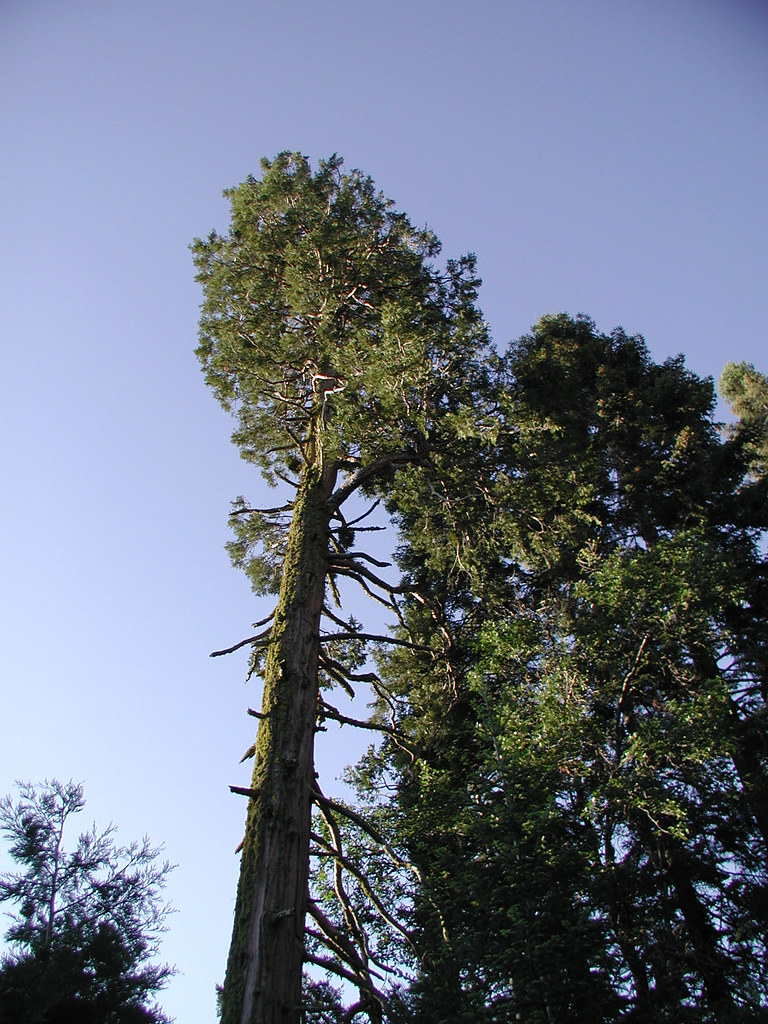 PowderhornHiking · ~7 min drivePhoto: selkovjr, CC BY 2.0 (via Flickr)
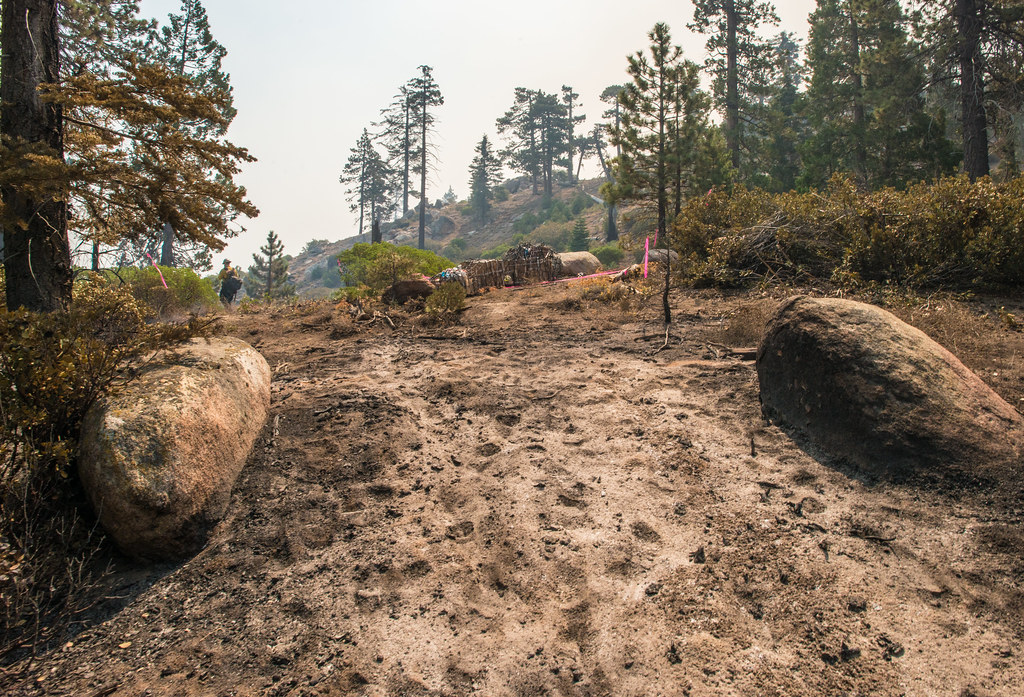 Black Mountain TrailHiking · ~23 min drivePhoto: USDAgov, Public Domain Mark (via Flickr)
- BLACK MOUNTAIN SADDLEHiking · ~23 min drivePhoto: USDAgov, Public Domain Mark (via Flickr)
 Rincon TrailHiking · ~23 min drivePhoto: RuggyBearLA, CC BY 2.0 (via Flickr)
 Tobias CreekHiking · ~17 min drivePhoto: inkknife_2000 (7.5 million views +), CC BY-SA 2.0 (via Wikimedia Commons)
 RinconHiking · ~21 min drivePhoto: anon4809, Public Domain Dedication (CC0) (via Flickr)
 Cattle RunHiking · ~10 min drivePhoto: USDAgov, Public Domain Mark (via Flickr)
 Flynn CanyonHiking · ~17 min drivePhoto: inkknife_2000 (7.5 million views +), CC BY-SA 2.0 (via Wikimedia Commons)
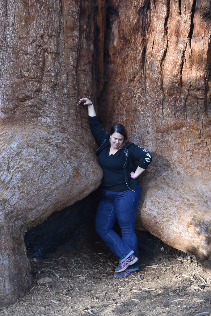 Trail of 100 GiantsHiking · ~11 min drivePhoto: reverendlukewarm — CC BY-SA 2.0 (via Flickr)
 PacksaddleHiking · ~18 min drivePhoto: inkknife_2000 (7.5 million views +), CC BY-SA 2.0 (via Wikimedia Commons)
Best time to visit Chute
Best months: January–June and September–November. Best months have typical highs of 55–85 °F, lows of 30 °F or warmer (32 °F where the station doesn't record snow), at most one snowy day and no more than 12 wet days.
Jan
55° / 32°
Feb
56° / 32°
Mar
58° / 35°
Apr
63° / 37°
May
71° / 43°
Jun
82° / 51°
Jul
88° / 57°
Aug
89° / 56°
Sep
84° / 51°
Oct
73° / 45°
Nov
63° / 38°
Dec
54° / 32°
Typical high / low (°F) and days with rain or snow, 1991–2020. Measured at Loraine 5 Nne, CA, 38.6 mi away at 4,235 ft. The station sits about 1,600 ft lower than this place, so expect it a little cooler here. This station doesn't record snowfall. Source: NOAA NCEI U.S. Climate Normals 1991–2020.
