Moraine Campground
Campground
Campground · 0.6 mi from the trail
 Photo: NPS staff, Public domain (via Wikimedia Commons)
No closures listed
The National Park Service lists no closures for Kings Canyon National Park.
As of · Source: NPS · Kings Canyon National Park. Agencies don't list every closure — check before you go.
Cedar Grove Day Ride Loops is an easy out-and-back hike in Kings Canyon National Park in California, managed by the National Park Service. The route is about 3.6 miles long, with a low point of 4,639 feet and a high of 4,786 feet, and it gains about 190 feet of elevation. The trail is short and gentle, making it a good choice for a quick outing in the park. Spring and fall are the most comfortable times to go. Typical averages from a nearby weather station in Independence show April highs around 76°F and October highs around 81°F, while July and August average in the low 100s. That station sits roughly 800 feet lower than the trail, so temperatures on the route run a little cooler. Cedar Grove North Side is about 0.3 miles away, and the Cedar Grove Bike Path is about 0.7 miles off. Canyon View Group Sites, a campground, is about 0.9 miles away, and the South Fork Kings River, a paddling route, is about 1.2 miles away.
Moraine Campground
Campground
 If it rainsDavid Fulmer, CC BY 2.0 · Wikimedia Commons
Giant Forest Museum
Museum
Places © OpenStreetMap contributors · Photos: David Fulmer, CC BY 2.0 (commons)
More in Silver CityNot on Roamze yet. Their page has how to reach them.
 Cedar Grove North SideHikingPhoto: randomduck, CC BY-SA 2.0 (via Flickr)0.3 miCedar Grove Bike PathHikingPhoto: NPS staff, Public domain (via Wikimedia Commons)0.7 mi
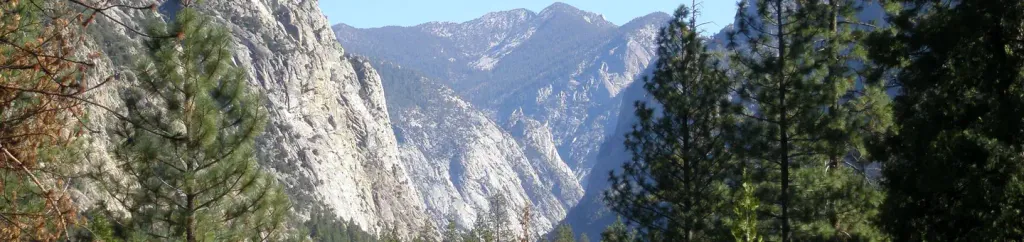 Canyon View Group SitesCampingPhoto: Recreation.gov (RIDB) / public domain0.9 miHotel-CreekHikingPhoto: NPS staff, Public domain (via Wikimedia Commons)1 mi
 South Fork Kings RiverCanoeingPhoto: Daniel Mayer (mav), CC BY-SA 3.0 (via Wikimedia Commons)1.2 mi
Source: Roamze catalog (indexable pages within 10 miles, PostGIS distance)
Cedar Grove North SideHiking · Next doorPhoto: randomduck, CC BY-SA 2.0 (via Flickr)Hotel-CreekHiking · ~2 min drivePhoto: NPS staff, Public domain (via Wikimedia Commons)Cedar Grove Bike PathHiking · ~1 min drivePhoto: NPS staff, Public domain (via Wikimedia Commons)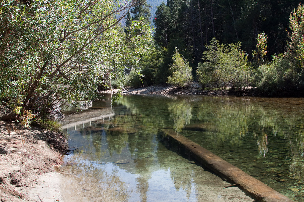 Lower Lewis CreekHiking · ~4 min drivePhoto: jimmyharris, CC BY 2.0 (via Flickr)
 Cedar Grove RiverHiking · ~3 min drivePhoto: Genista, CC BY-SA 2.0 (via Flickr)Upper Lewis CreekHiking · ~4 min drivePhoto: jimmyharris, CC BY 2.0 (via Flickr)
Also worth it near here
Best months: February–May and October–November. Best months have typical highs of 55–85 °F, lows of 30 °F or warmer (32 °F where the station doesn't record snow), at most one snowy day and no more than 12 wet days.
Jan
58° / 30°
4 wet
Feb
61° / 33°
4 wet
Mar
69° / 39°
3 wet
Apr
76° / 44°
1 wet
May
85° / 53°
1 wet
Jun
96° / 62°
1 wet
Jul
102° / 67°
1 wet
Aug
101° / 65°
1 wet
Sep
93° / 58°
1 wet
Oct
81° / 48°
1 wet
Nov
67° / 36°
2 wet
Dec
57° / 29°
4 wet
Typical high / low (°F) and days with rain or snow, 1991–2020. Measured at Independence, CA, 24.8 mi away at 3,950 ft. The station sits about 800 ft lower than this place, so expect it a little cooler here. This station doesn't record snowfall. Source: NOAA NCEI U.S. Climate Normals 1991–2020.

