Canyon View Group Sites
Campground
Campground · 0.1 mi from the trail
 Photo: NPS staff, Public domain (via Wikimedia Commons)
No closures listed
The National Park Service lists no closures for Kings Canyon National Park.
As of · Source: NPS · Kings Canyon National Park. Agencies don't list every closure — check before you go.
Cedar Grove Bike Path is an easy, short out-and-back walk of about a mile, with a low point of 4,591 feet and a high of 4,717 feet, set within Kings Canyon National Park in California. The National Park Service manages the land, and the route lies close to Canyon View Group Sites, about a tenth of a mile away. The most comfortable months for a visit are spring and fall. Typical averages from a nearby weather station in Independence, which sits about 770 feet lower, show April highs around 76°F and October highs around 81°F. Summer is hot, with July highs averaging about 102°F, while winter lows dip near 30°F. Nearby, the Don Cecil Trailhead is about 0.4 miles away, and the Hotel-Creek hike and Sentinel Campground are each about half a mile off. For more time on the water, the South Fork Kings River offers canoeing about 0.6 miles away.
Canyon View Group Sites
Campground
 If it rainsDavid Fulmer, CC BY 2.0 · Wikimedia Commons
Giant Forest Museum
Museum
Places © OpenStreetMap contributors · Photos: David Fulmer, CC BY 2.0 (commons)
More in Silver CityNot on Roamze yet. Their page has how to reach them.
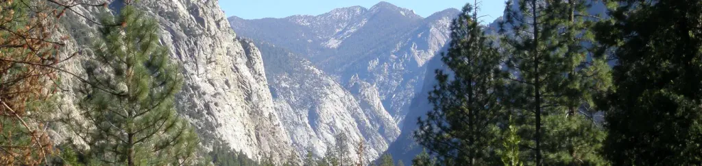 Canyon View Group SitesCampingPhoto: Recreation.gov (RIDB) / public domain0.1 mi
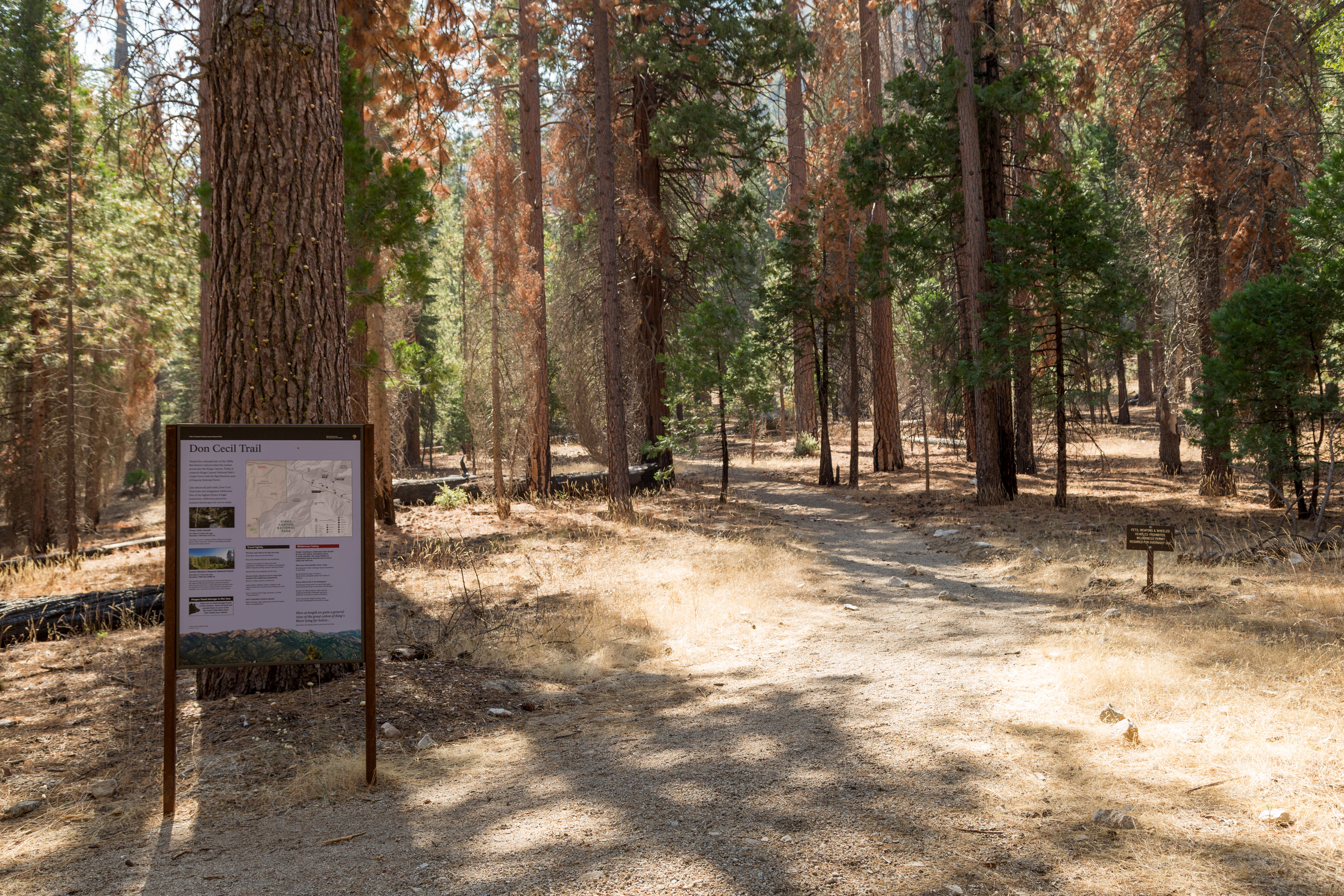 Don Cecil TrailheadHiking0.4 miHotel-CreekHikingPhoto: NPS staff, Public domain (via Wikimedia Commons)0.5 mi
 South Fork Kings RiverCanoeingPhoto: Daniel Mayer (mav), CC BY-SA 3.0 (via Wikimedia Commons)0.6 mi
Source: Roamze catalog (indexable pages within 10 miles, PostGIS distance)
Hotel-CreekHiking · Next doorPhoto: NPS staff, Public domain (via Wikimedia Commons)Cedar Grove Day Ride LoopsHiking · ~1 min drivePhoto: NPS staff, Public domain (via Wikimedia Commons)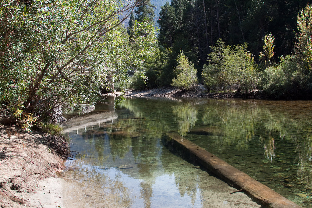 Lower Lewis CreekHiking · ~3 min drivePhoto: jimmyharris, CC BY 2.0 (via Flickr)
 Cedar Grove North SideHiking · ~2 min drivePhoto: randomduck, CC BY-SA 2.0 (via Flickr)
 Happy GapHiking · ~8 min drivePhoto: Tom Hilton, CC BY 2.0 (via Wikimedia Commons)Upper Lewis CreekHiking · ~4 min drivePhoto: jimmyharris, CC BY 2.0 (via Flickr)Cedar Grove OverlookHiking · ~2 min drivePhoto: jimmyharris, CC BY 2.0 (via Flickr)
Also worth it near here
Best months: February–May and October–November. Best months have typical highs of 55–85 °F, lows of 30 °F or warmer (32 °F where the station doesn't record snow), at most one snowy day and no more than 12 wet days.
Jan
58° / 30°
4 wet
Feb
61° / 33°
4 wet
Mar
69° / 39°
3 wet
Apr
76° / 44°
1 wet
May
85° / 53°
1 wet
Jun
96° / 62°
1 wet
Jul
102° / 67°
1 wet
Aug
101° / 65°
1 wet
Sep
93° / 58°
1 wet
Oct
81° / 48°
1 wet
Nov
67° / 36°
2 wet
Dec
57° / 29°
4 wet
Typical high / low (°F) and days with rain or snow, 1991–2020. Measured at Independence, CA, 25.5 mi away at 3,950 ft. The station sits about 800 ft lower than this place, so expect it a little cooler here. This station doesn't record snowfall. Source: NOAA NCEI U.S. Climate Normals 1991–2020.

