Beans Camp
Campground
Campground · 5.8 mi from the trail
No closures listed
The Forest Service lists no closures for Six Rivers National Forest.
As of · Source: USFS · Six Rivers National Forest. Agencies don't list every closure — check before you go.
Camp Creek is a moderate out-and-back hike on natural trail surface in the Orleans Ranger District of Six Rivers National Forest in northern California. The route rises from a low point of 1,144 feet to a high of 2,488 feet, with a total elevation gain of 1,356 feet, and it is about 5 miles long. The Forest Service manages the land. The trail is open year-round, and it allows horses and bikes. The climb is one way, so plan for a round trip of roughly 10 miles and twice the gain. Late spring and early fall tend to be the most comfortable times to go. Typical averages from a nearby weather station at Cecilville run from highs around 75°F in May to about 89°F in September, with July peaking near 96°F. Prospect Hill is about 3 miles away, and the Salmon River Trail is about 7 miles out. Pearch Creek Campground and Fish Lake Campground both sit within 8 miles.
Beans Camp
Campground
Laura's Kitchen
Restaurant
Places © OpenStreetMap contributors
More in Hoopa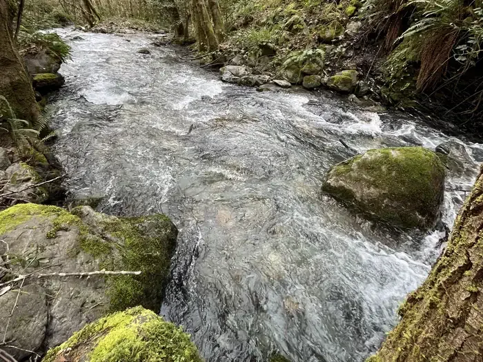 Pearch Creek CampgroundCampingPhoto: Recreation.gov (RIDB) / public domain5.8 mi
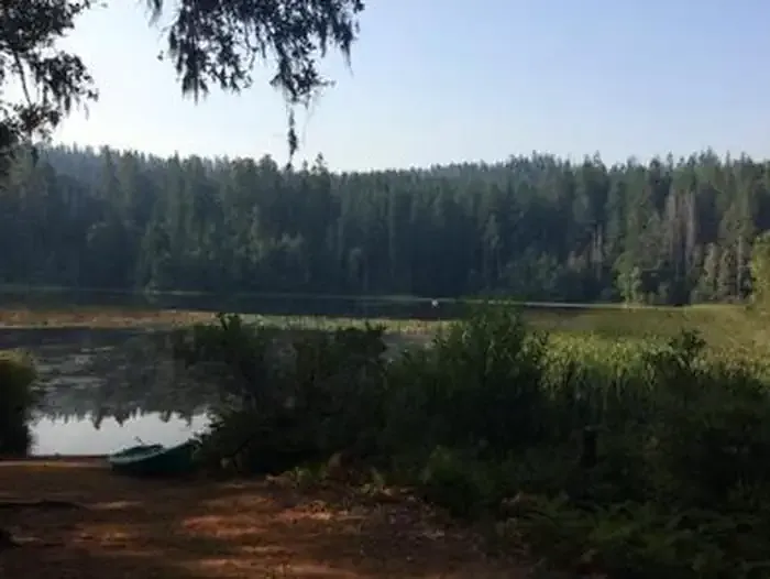 Fish Lake CampgroundCampingPhoto: Recreation.gov (RIDB) / public domain7.7 mi
Source: Roamze catalog (indexable pages within 10 miles, PostGIS distance)
 Bluff Creek Historical TrailHiking · ~15 min drivePhoto: Tony Webster, CC BY 2.0 (via Flickr)
Best months: March–June and October. Best months have typical highs of 55–85 °F, lows of 30 °F or warmer (32 °F where the station doesn't record snow), at most one snowy day and no more than 12 wet days.
Jan
45° / 30°
Feb
51° / 31°
Mar
59° / 33°
Apr
66° / 36°
May
75° / 42°
Jun
85° / 46°
Jul
96° / 52°
Aug
94° / 50°
Sep
89° / 45°
Oct
70° / 37°
Nov
54° / 33°
Dec
43° / 30°
Typical high / low (°F) and days with rain or snow, 1991–2020. Measured at Cecilville, CA, 28.7 mi away at 2,310 ft. This station doesn't record snowfall. Source: NOAA NCEI U.S. Climate Normals 1991–2020.
