Oak Bottom Campground
Campground
Campground · 1.5 mi from the trail
Alert in the area
The Forest Service lists an alert for Ukonom Ranger District.
Ishi Pishi River Area Use Restriction
Agency alert covering Ukonom Ranger District · Order 05-05-58-26-04 · USFS · Ukonom Ranger District
As of · Source: USFS · Ukonom Ranger District. Agencies don't list every closure — check before you go.
Red Wing Mine is an easy, short hike on natural trail in the Ukonom Ranger District of Six Rivers National Forest, about 2.8 miles long and rising about 200 feet from a low point of 2,120 feet to a high of 2,280 feet. The Forest Service manages the land, and the route is out and back. It works well as a quick outing or as a stop on a longer day in the district. Late spring and early fall are the most comfortable times to go. Typical averages from the Cecilville weather station, about 23 miles away, run from highs near 75°F in May to about 89°F in September. Midsummer is hot, with July highs around 96°F, while winter nights dip near freezing. The trail is open year round, and bikes and horses are both allowed. The closest neighbors are Somes Mountain Trail at about 1.1 miles and Salmon River Trail at 1.2 miles. Oak Bottom Campground sits about 1.5 miles away, and Wooley Creek is roughly 2.2 miles off.
Oak Bottom Campground
Campground
Laura's Kitchen
Restaurant
Places © OpenStreetMap contributors
More in Hoopa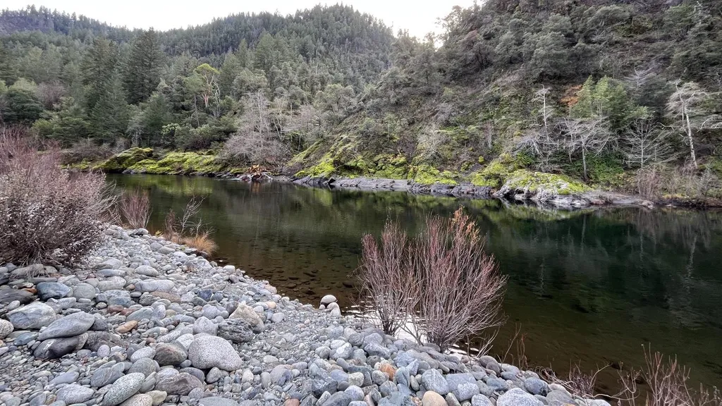 Oak Bottom CampgroundCampingPhoto: Recreation.gov (RIDB) / public domain1.5 mi
 Salmon RiverCanoeingPhoto: Scott Harding, CC BY-SA 4.0 (via Wikimedia Commons)4.3 mi
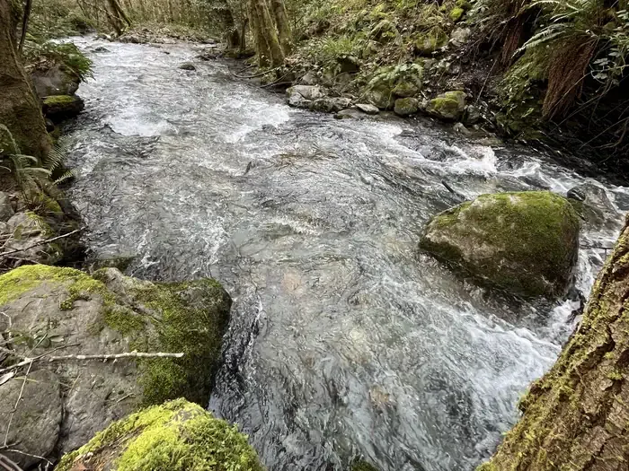 Pearch Creek CampgroundCampingPhoto: Recreation.gov (RIDB) / public domain4.5 mi
Source: Roamze catalog (indexable pages within 10 miles, PostGIS distance)
Best months: March–June and October. Best months have typical highs of 55–85 °F, lows of 30 °F or warmer (32 °F where the station doesn't record snow), at most one snowy day and no more than 12 wet days.
Jan
45° / 30°
Feb
51° / 31°
Mar
59° / 33°
Apr
66° / 36°
May
75° / 42°
Jun
85° / 46°
Jul
96° / 52°
Aug
94° / 50°
Sep
89° / 45°
Oct
70° / 37°
Nov
54° / 33°
Dec
43° / 30°
Typical high / low (°F) and days with rain or snow, 1991–2020. Measured at Cecilville, CA, 22.9 mi away at 2,310 ft. This station doesn't record snowfall. Source: NOAA NCEI U.S. Climate Normals 1991–2020.
