Loading…

Free — you'll pick up right here.
Watch this trail
Sign up to watch it — saving subscribes you to gate, closure and report changes.
California
2.5 mi
Distance
939 ft
Gain
We won't guess. Here is exactly what we do and don't know.
What we do know
Inside Six Rivers National Forest
2 managing-area boundaries mapped — agency alerts for them feed this page automatically.
Boundary data
What's missing
No access route mapped
We don't yet know which road reaches this trailhead, so we can't tell you if it's gated.
Nobody's filed a report here yet — be the first.
Why you'll love it
Salmon River Trail
AI-suggested draft · review before you go
No permit or access details on file for this trail — check with the local land manager before you go.
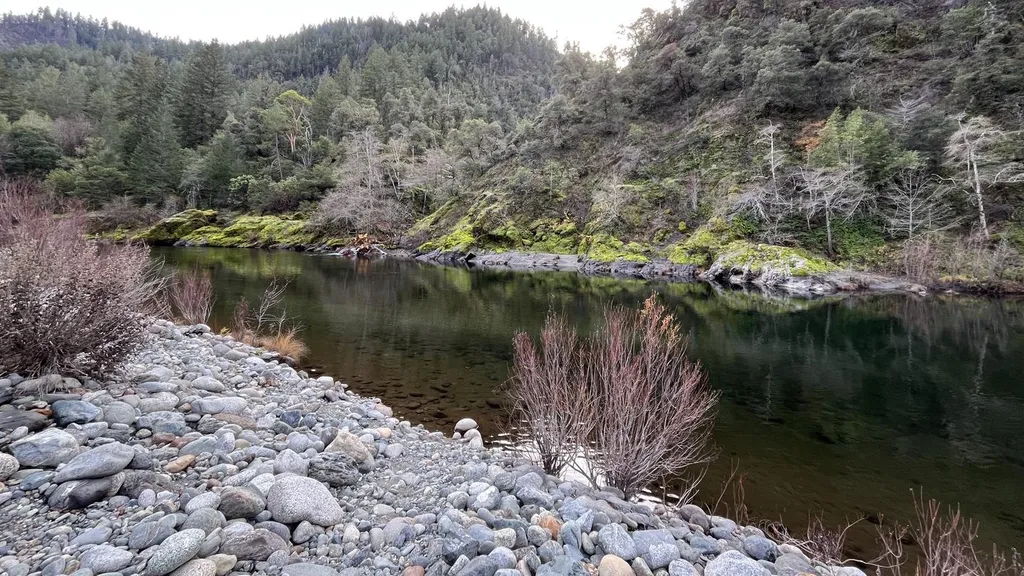
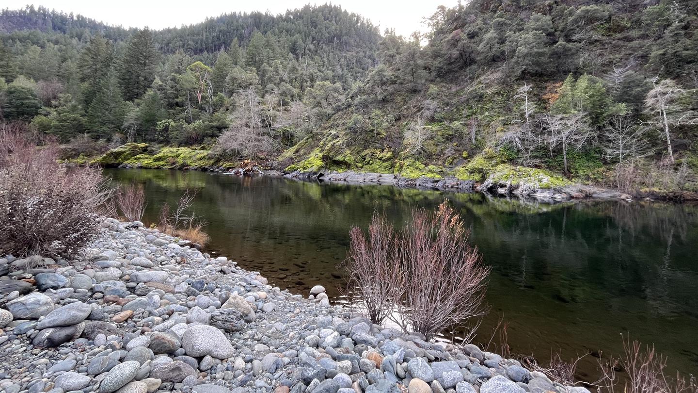
The Salmon River Trail is a scenic riverside hike through northern California's rugged terrain, offering hikers an accessible route with steady elevation gain and beautiful water features. The trail follows the Salmon River corridor, providing opportunities to view the river's cascades and pools while traversing mixed forest and riparian habitat. This moderate-easy hike is ideal for those seeking a shorter outing with rewarding views and a good cardiovascular workout.
Red Wing Mine
~2 min drive
Historic mining trail with steady elevation gain and desert views.
Prospect Hill
~7 min drive
Moderate 9.12-mile foothills hike with 1,353 ft elevation gain.
Bull Pine Mine
~11 min drive
Historic mining site hike with steady elevation gain through forest terrain.
Wooley Creek
~4 min drive
Steep 2-mile alpine climb with 1,522 ft elevation gain.
Somes Mt. Trail
~11 min drive
Challenging 15-mile mountain trail with 1,706 ft elevation gain.
Camp Creek
~12 min drive
Moderate 5-mile climb with 1,826 ft gain through creek-side forest.
Steinacher
~5 min drive
Steep 1-mile alpine climb with 584 ft elevation gain.
Butler Mountain
~11 min drive
Moderate 8.5-mile climb with 2,400 ft gain to Butler Mountain summit.
Let'er Buck
~14 min drive
Quick 3-mile climb with 593 ft gain near Let'er Buck, California.
Portuguese
~7 min drive
Steep 1.61-mile climb with 654 ft elevation gain near Portuguese, CA.