Loading…

Free — you'll pick up right here.
Watch this trail
Sign up to watch it — saving subscribes you to gate, closure and report changes.
California
2.5 mi
Distance
1,497 ft
Gain
We won't guess. Here is exactly what we do and don't know.
What we do know
Inside Six Rivers National Forest
2 managing-area boundaries mapped — agency alerts for them feed this page automatically.
Boundary data
What's missing
No access route mapped
We don't yet know which road reaches this trailhead, so we can't tell you if it's gated.
Nobody's filed a report here yet — be the first.
Why you'll love it
Bluff Creek Historical Trail
AI-suggested draft · review before you go
No permit or access details on file for this trail — check with the local land manager before you go.
The Bluff Creek Historical Trail offers a moderately steep 2.54-mile journey through California backcountry with nearly 1,500 feet of elevation gain. This trail combines historical significance with scenic forest terrain, rewarding hikers with views and a connection to the region's past. The steady climb makes it an excellent choice for hikers building endurance while exploring culturally rich landscapes.
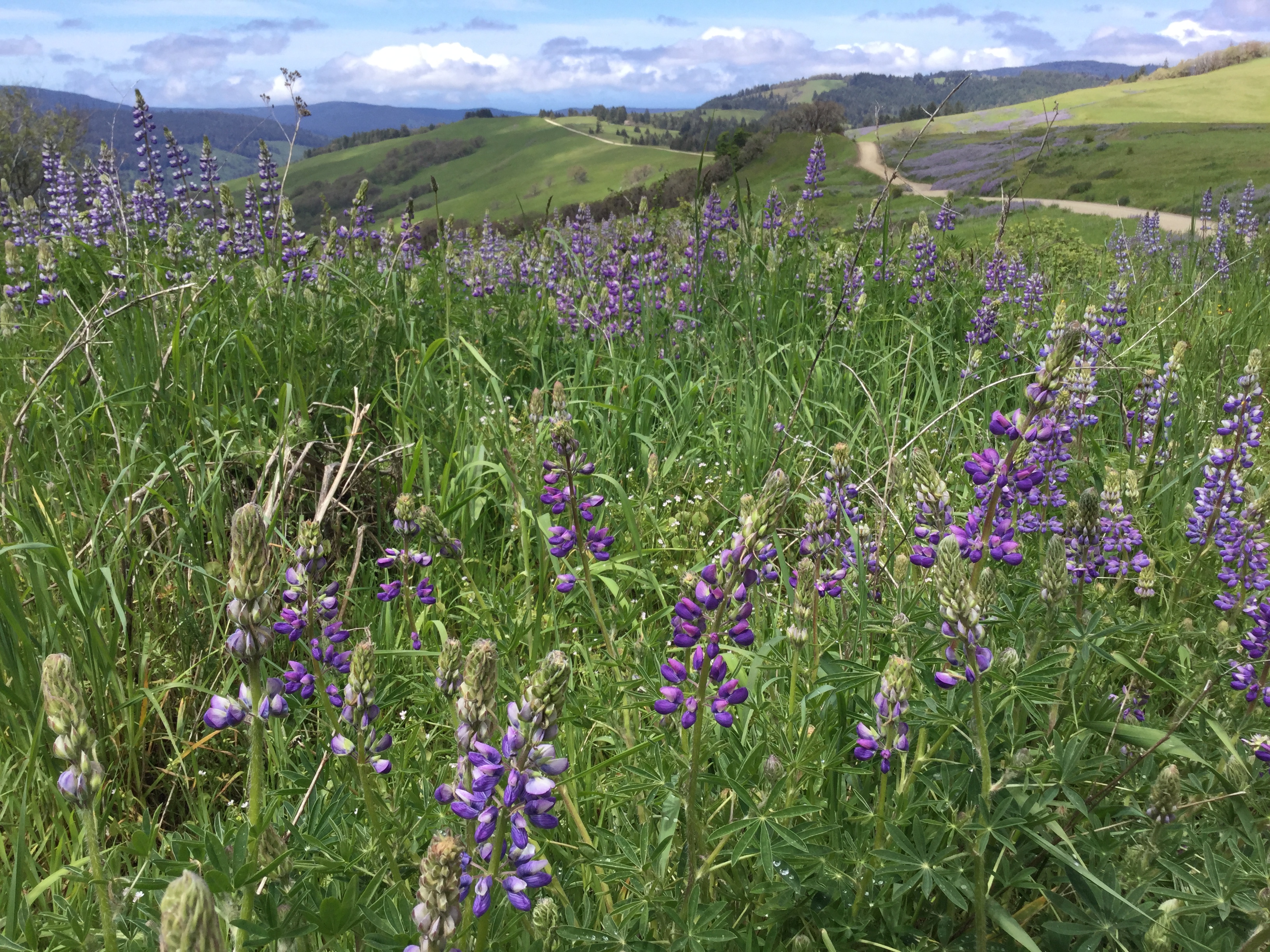
Lyons Ranch Trailhead
~24 min drive
Located on the Bald Hills Road, this is the start/end of the four-mile roundtrip hike down to the historic Lyons Ranch. The Bald Hills Road is not recommended for recreational vehicles, campers or anything towing a trailer. <br /> <br /> This trailhead is about 2,500 feet in e…
Red Mountain Lake
~3 min drive
Short alpine lake hike with steady elevation gain and mountain views.
Blue Lake
~4 min drive
Easy 1.16-mile hike to a scenic alpine lake with 272 ft elevation gain.
Prospect Hill
~16 min drive
Moderate 9.12-mile foothills hike with 1,353 ft elevation gain.
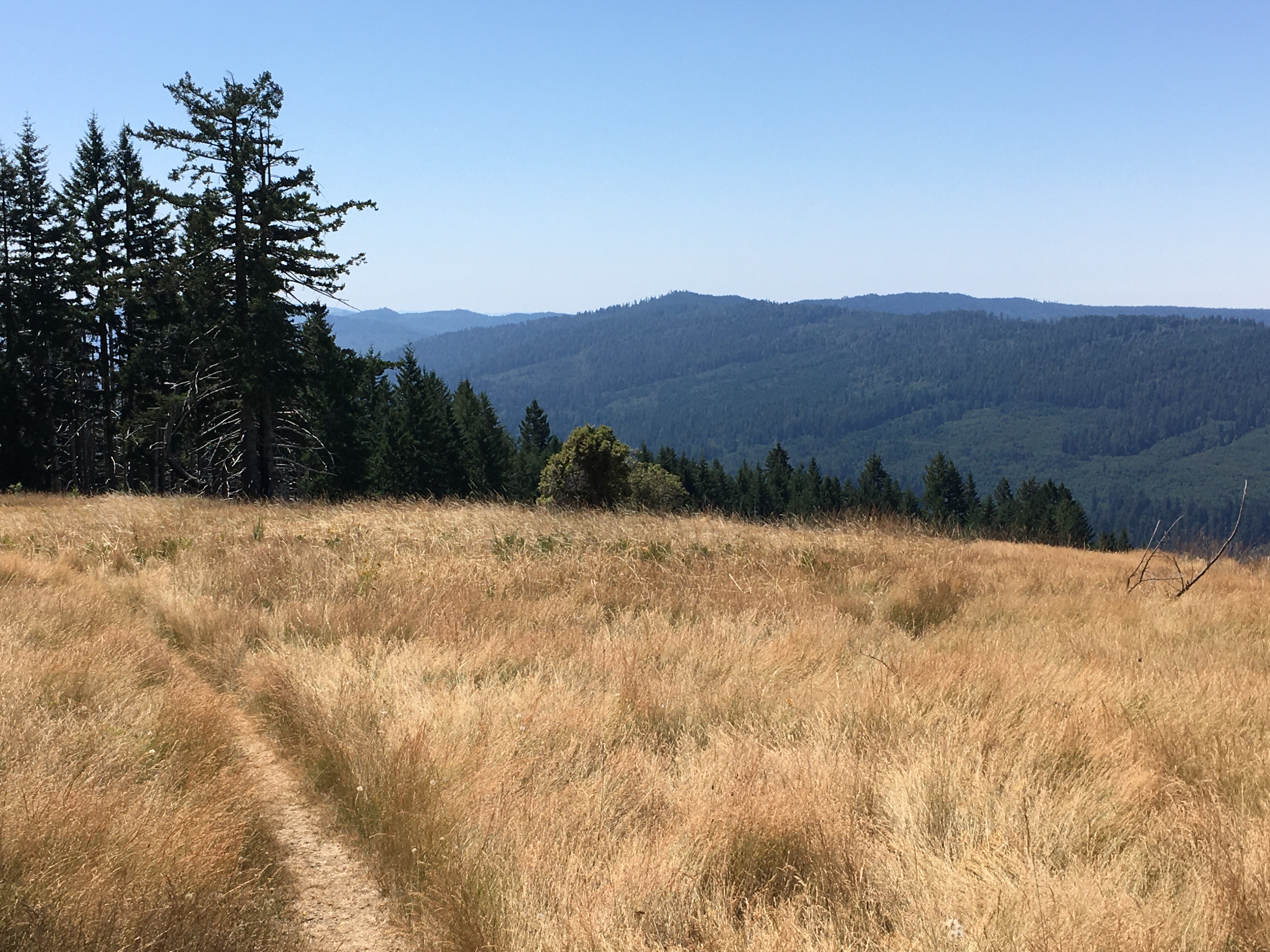
Dolason Prairie Trail
~27 min drive
A Hiker's Adventure Going From High Prairies Into A Deep River Valley<br /> <br /> This ten-mile trail is unique. It begins in the high meadows of the Bald Hills, passes a historic 19th century barn, and descends 2,500 feet into the heart of Redwood and Emerald Creeks. Then yo…
Camp Creek
~15 min drive
Moderate 5-mile climb with 1,826 ft gain through creek-side forest.
Mill Creek Lakes Loop
~21 min drive
Easy alpine lake loop with scenic views and minimal elevation gain.
Somes Mt. Trail
~18 min drive
Challenging 15-mile mountain trail with 1,706 ft elevation gain.
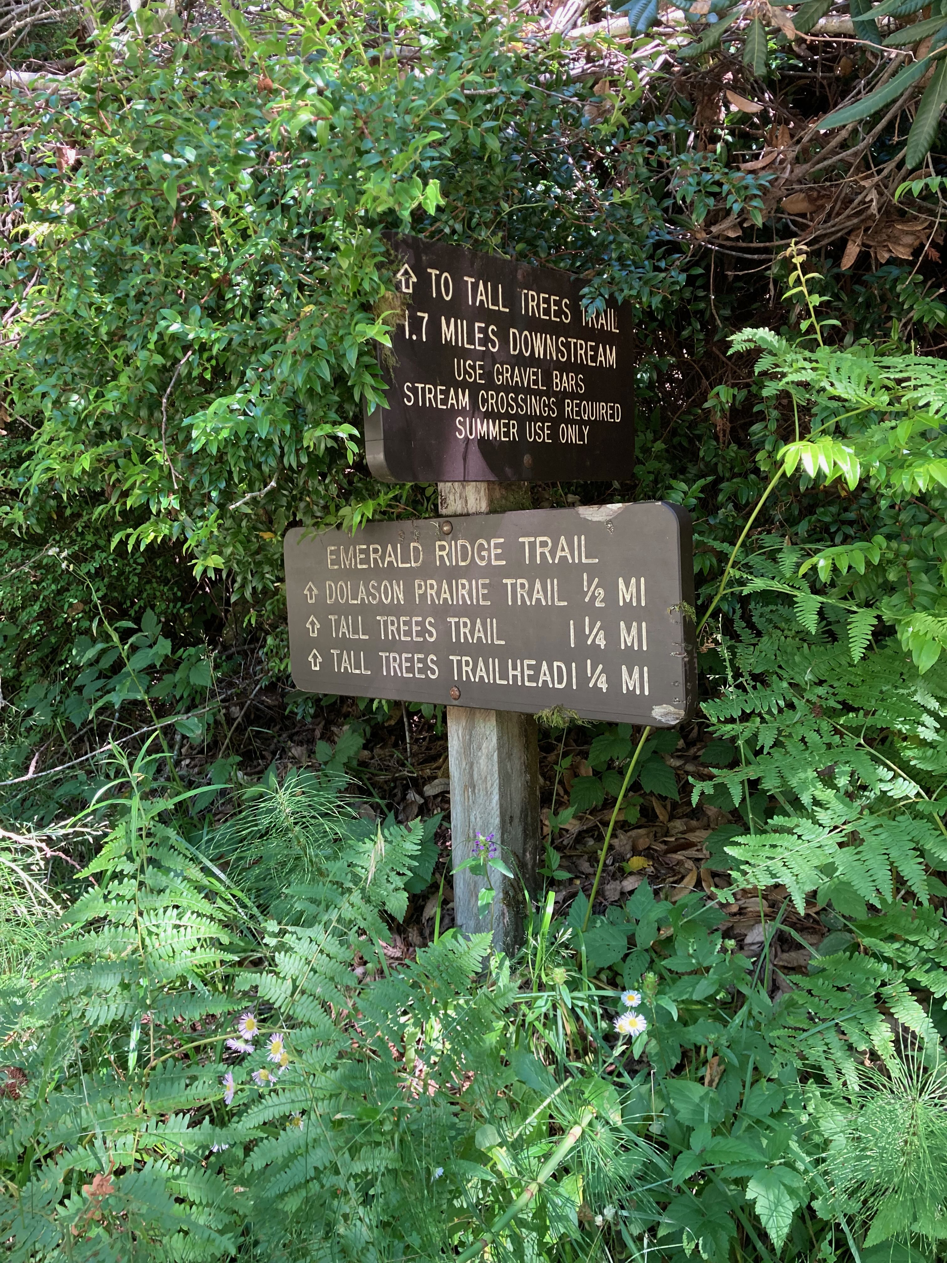
Emerald Ridge Trail
~31 min drive
<ul> <li> <p><strong>Location:</strong> Bald Hills Road, Redwood National Park</p> </li> <li> <p><strong>Trailhead</strong>: Begin trail from near Tall Trees Trailhead or at the junction along Dolason Prairie trail.</p> </li> <li> <p><strong>Mileage</strong>: 1.5 miles</p> </l…
Crogan Hole
~21 min drive
Moderate 5.84-mile hike with 1,235 ft elevation gain in California.