Boole Tree
 Photo: selkovjr, CC BY 2.0 (via Flickr)
- 4.4 mi
- round trip
- 565 ft
- climb
- 6,800 ft
- high point
- Out and back
- route
- May–Oct
- best months
Is Boole Tree open right now?
Closure in the area
There's a closure order in Sierra National Forest. It doesn't name Boole Tree, so check the source for the area it covers (3 listed).
Safety Tips for Burned Areas: Garnet Fire Area
Agency closure covering Sierra National Forest · USFS · Sierra National Forest
Wilderness Food and Refuse Storage
Agency closure covering Sierra National Forest · Order 05-15-00-26-03 · USFS · Sierra National Forest
Food and Refuse Storage
Agency closure covering Sierra National Forest · Order 05-15-00-26-02 · USFS · Sierra National Forest
Forest Order removes Fish Camp, Soda Springs, and Little Jackass from closure list
Agency alert covering Sierra National Forest · Order 05-15-00-26-11 · USFS · Sierra National Forest
Ansel Adams and John Muir Wilderness Campfire Restrictions
Agency alert covering Sierra National Forest · Order 05-15-00-26-09 · USFS · Sierra National Forest
As of · Source: USFS · Sierra National Forest. Agencies don't list every closure — check before you go.
Boole Tree is a 4.40-mile out-and-back trail in California managed by the Forest Service. The trail gains 776 feet of elevation.
Local outfitters
- Rainbow Pack Outfitters33 mi away
- Bishop Pack Outfitters33 mi away
Not on Roamze yet. Their page has how to reach them.
- Nearby · Indian Basin · Cherry Gap · Hume Lake
Best time to go · May–Oct
Best time to visit Boole Tree
Best months: May–October. Best months have typical highs of 55–85 °F, lows of 30 °F or warmer (32 °F where the station doesn't record snow), at most one snowy day and no more than 12 wet days.
Jan
46° / 26°
9 wet
Feb
46° / 25°
10 wet
Mar
48° / 27°
10 wet
Apr
52° / 30°
7 wet
May
60° / 38°
5 wet
Jun
71° / 46°
2 wet
Jul
79° / 52°
1 wet
Aug
79° / 52°
1 wet
Sep
73° / 47°
2 wet
Oct
63° / 39°
4 wet
Nov
53° / 32°
6 wet
Dec
46° / 25°
8 wet
Typical high / low (°F) and days with rain or snow, 1991–2020. Measured at Grant Grove, CA, 6 mi away at 6,580 ft. This station doesn't record snowfall. Source: NOAA NCEI U.S. Climate Normals 1991–2020.
Keep exploring — more trails worth the drive
 Photo: jeepwaters, CC BY 3.0 (via Wikimedia Commons)
Indian Basin
~3 min drive
1.23-mile out-and-back trail in California with 318 ft elevation gain.
HIKE
Cherry Gap
~6 min drive
This Forest Service area 3 miles (4.8 kilometer) north of Grant Grove is part of the Converse Basin sequoia grove. From Cherry Gap, you can take roads to the Chicago Stump. Once the General Noble Tree, it was cut into pieces in 1897, shipped to the Chicago World's Fair, and…
 Photo: ciamabue, CC BY 2.0 (via Flickr)
Hume Lake
~6 min drive
5.20-mile out-and-back trail in California with 1,009 ft gain.
HIKE
Kings River Nrt
~6 min drive
6.10-mile out-and-back trail in California's Kings River National Recreation Trail system.
 Photo: United States National Park Service, Public domain (via Wikimedia Commons)
Grant Grove North Boundary
~9 min drive
2.64-mile out-and-back trail in Grant Grove with 605 ft elevation gain
HIKE
Winter Trails in the Grant Grove Area
~10 min drive
Trails in the Grant Grove area are often snowy and icy in the winter. But with the right gear and preparation, adventurous explorers can still take in the unique beauty of sequoias in the snow. Visitors can either hike on plowed trails, or cross-country ski and snowshoe on est…
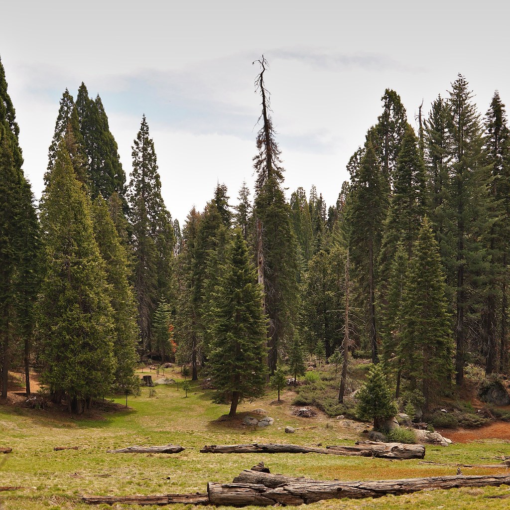 Photo: lewinb, CC BY-SA 2.0 (via Flickr)
Azalea
~11 min drive
1.61-mile out-and-back trail in California with 870 ft gain and 7,362 ft max elevation.
HIKE
Kings River Nrt
~9 min drive
A 6-mile out-and-back trail in California along Kings River.
Photo: United States National Park Service, Public domain (via Wikimedia Commons)Crystal Spring
~9 min drive
Crystal Spring is a 0.80-mile out-and-back trail in California with 154 ft of elevation gain.
 Photo: Yssso, CC BY-SA 2.0 (via Flickr)
Yucca Point
~7 min drive
3.60-mile out-and-back trail in California with 802 ft elevation gain.
