Azalea
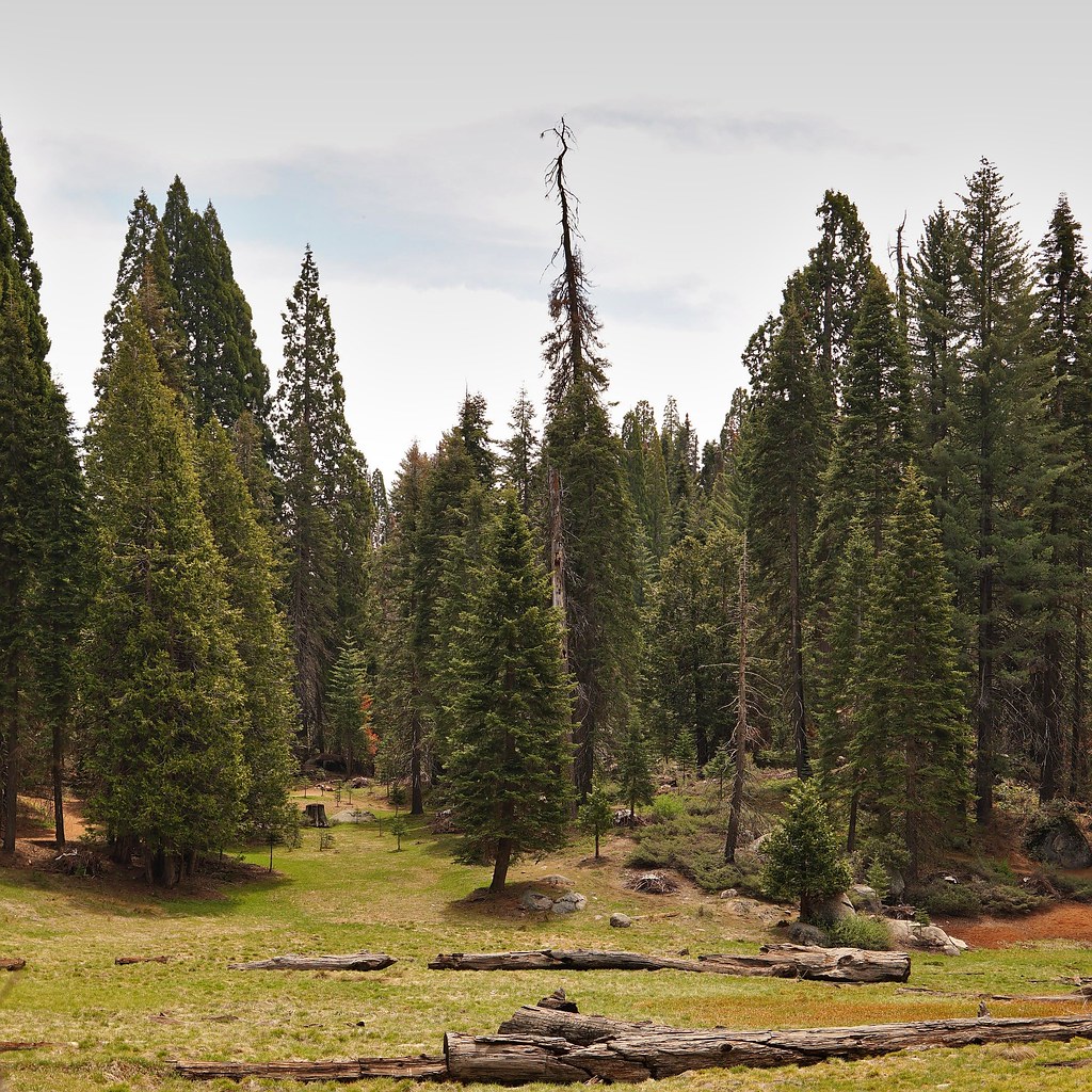 Photo: lewinb, CC BY-SA 2.0 (via Flickr)
- 1.6 mi
- round trip
- 870 ft
- climb
- 7,362 ft
- high point
- Out and back
- route
- May–Oct
- best months
Is Azalea open right now?
No closures listed
The National Park Service lists no closures for Kings Canyon National Park.
As of · Source: NPS · Kings Canyon National Park. Agencies don't list every closure — check before you go.
Azalea is a moderate out-and-back hike in Kings Canyon National Park in California, managed by the National Park Service. The route is about 3.2 miles long, with an elevation gain of 870 feet, taking you from a low point of 6,476 feet to a high of 7,362 feet. Summer is the most comfortable time to go. Typical averages from a nearby weather station at Grant Grove show July and August highs around 79°F with lows near 52°F and only about one wet day a month. That station sits roughly 780 feet lower than the high point on this hike, so temperatures up top run cooler. Several other destinations sit within a mile. Big Stump - East of 180 and Sunset Campground (CA) are both about 0.7 miles away, and Hitchcock Meadow and the Grant Grove climbing area are each about 0.8 miles off.
Local outfitters
- Rainbow Pack Outfitters39 mi away
- Bishop Pack Outfitters39 mi away
Not on Roamze yet. Their page has how to reach them.
 Big Stump - East of 180HikingPhoto: daveynin, CC BY 2.0 (via Flickr)0.7 mi
 Sunset Campground (ca)CampingPhoto: Recreation.gov (RIDB) / public domain0.7 mi
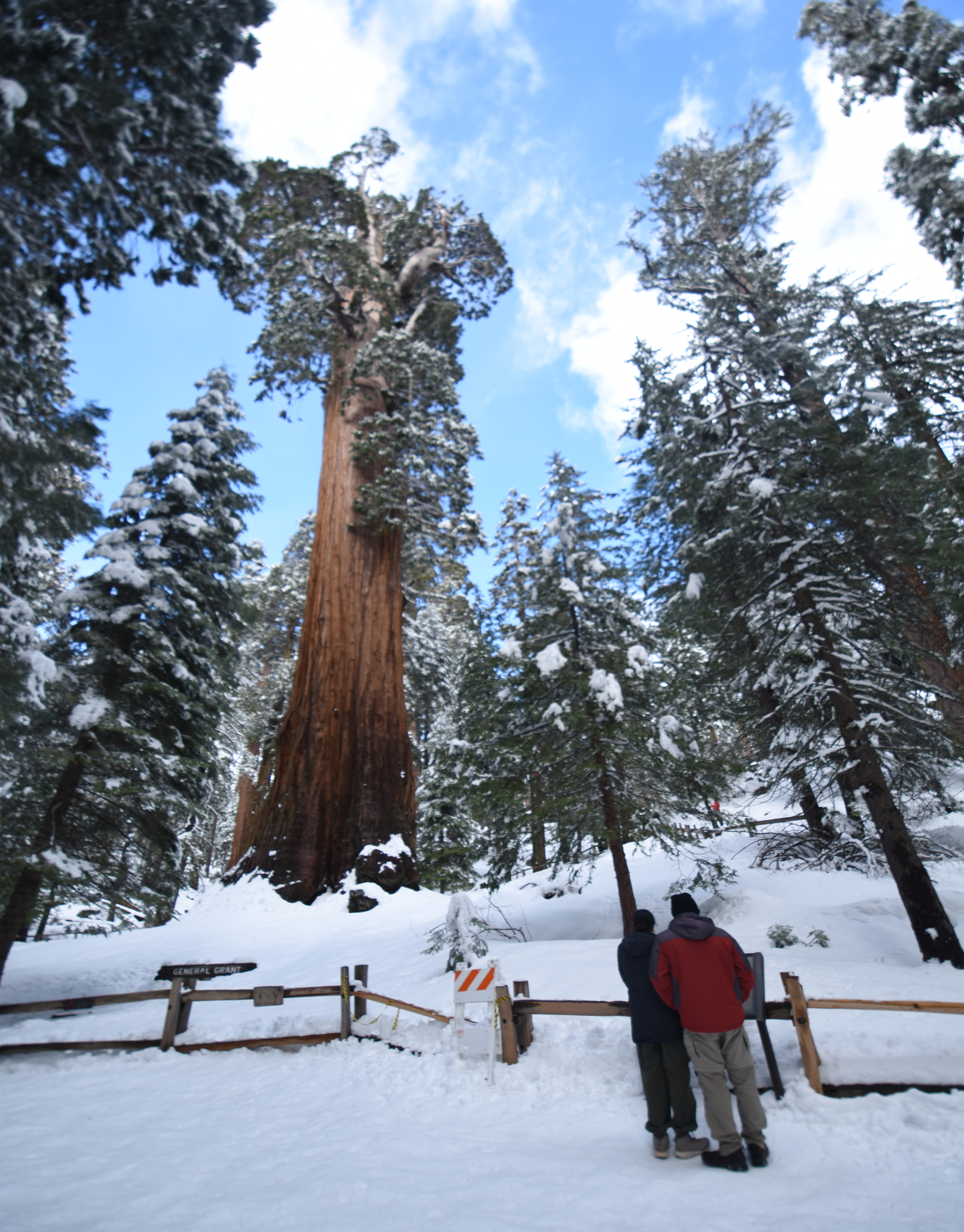 Winter Trails in the Grant Grove AreaHikingPhoto: NPS / Bryanna Plog0.8 mi
 Hitchcock MeadowHikingPhoto: Dennis Heller, CC BY 2.0 (via Flickr)0.8 mi
- Grant GroveRock climbing0.8 mi
- Grouse MeadowCamping2.3 mi
- Hume LakeLake fishing5.2 mi
- Buck RockRock climbing5.5 mi
Source: Roamze catalog (indexable pages within 10 miles, PostGIS distance)
- Big Stump - East of 180Hiking · ~1 min drivePhoto: daveynin, CC BY 2.0 (via Flickr)
 Redwood Canyon Hart TreeHiking · ~4 min drivePhoto: RuggyBearLA, CC BY 2.0 (via Flickr)
- Cherry GapHiking · ~6 min drive
- KanawyerHiking · ~13 min drive
- Hitchcock MeadowHiking · ~1 min drivePhoto: Dennis Heller, CC BY 2.0 (via Flickr)
 Redwood Canyon Sugar BowlHiking · ~4 min drivePhoto: RuggyBearLA, CC BY 2.0 (via Flickr)
- Winter Trails in the Grant Grove AreaHiking · ~1 min drive
- Swale-South BoundaryHiking · ~1 min drivePhoto: Dennis Heller, CC BY 2.0 (via Flickr)
 Hume LakeHiking · ~8 min drivePhoto: ciamabue, CC BY 2.0 (via Flickr)
- South BoundaryHiking · ~1 min drivePhoto: Dennis Heller, CC BY 2.0 (via Flickr)
Best time to visit Azalea
Best months: May–October. Best months have typical highs of 55–85 °F, lows of 30 °F or warmer (32 °F where the station doesn't record snow), at most one snowy day and no more than 12 wet days.
Jan
46° / 26°
9 wet
Feb
46° / 25°
10 wet
Mar
48° / 27°
10 wet
Apr
52° / 30°
7 wet
May
60° / 38°
5 wet
Jun
71° / 46°
2 wet
Jul
79° / 52°
1 wet
Aug
79° / 52°
1 wet
Sep
73° / 47°
2 wet
Oct
63° / 39°
4 wet
Nov
53° / 32°
6 wet
Dec
46° / 25°
8 wet
Typical high / low (°F) and days with rain or snow, 1991–2020. Measured at Grant Grove, CA, 0.6 mi away at 6,580 ft. The station sits about 800 ft lower than this place, so expect it a little cooler here. This station doesn't record snowfall. Source: NOAA NCEI U.S. Climate Normals 1991–2020.
