Grant Grove North Boundary
 Photo: United States National Park Service, Public domain (via Wikimedia Commons)
- 2.6 mi
- round trip
- 605 ft
- climb
- 7,403 ft
- high point
- Out and back
- route
- May–Oct
- best months
Is Grant Grove North Boundary open right now?
No closures listed
The National Park Service lists no closures for Kings Canyon National Park.
As of · Source: NPS · Kings Canyon National Park. Agencies don't list every closure — check before you go.
Grant Grove North Boundary is an easy out-and-back hike in Kings Canyon National Park in California, managed by the National Park Service. The route is about 5.3 miles long, with a one-way elevation gain of 605 feet, and it starts and ends at the park's north boundary. The trail rises from a low point of about 6,445 feet to a high of about 7,403 feet. Summer is the most comfortable time to go. Typical averages from a nearby weather station at Grant Grove show July and August highs around 79°F with lows near 52°F and only about one wet day a month. That station sits roughly 800 feet lower than the trail's high point, so temperatures up top run cooler. Several other destinations sit close by. Round Meadow and Crystal Springs are both about 0.4 miles away, and the Grant Grove climbing area is about 0.8 miles off. Sunset Campground is about a mile away.
Local outfitters
- Rainbow Pack Outfitters37 mi away
- Bishop Pack Outfitters38 mi away
Not on Roamze yet. Their page has how to reach them.
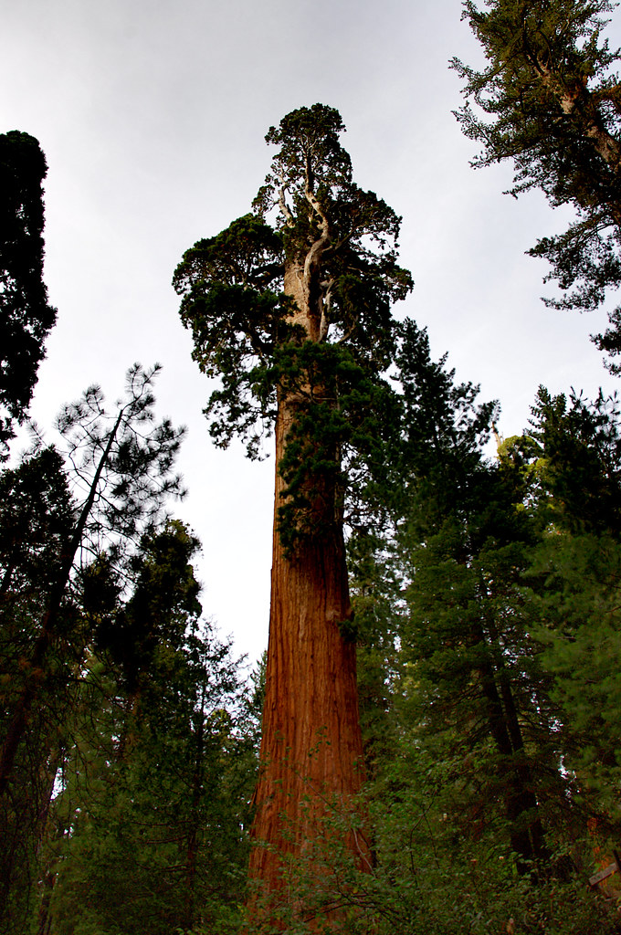 Round MeadowHikingPhoto: Juhele_CZ, Public Domain Dedication (CC0) (via Flickr)0.4 mi
- Crystal SpringsHikingPhoto: United States National Park Service, Public domain (via Wikimedia Commons)0.4 mi
- Crystal SpringHikingPhoto: United States National Park Service, Public domain (via Wikimedia Commons)0.4 mi
- Grant GroveRock climbing0.8 mi
 Sunset Campground (ca)CampingPhoto: Recreation.gov (RIDB) / public domain1 mi
- Chicago StumpCamping3.4 mi
- Hume LakeLake fishing3.9 mi
- Buck RockRock climbing5.2 mi
Source: Roamze catalog (indexable pages within 10 miles, PostGIS distance)
- Round MeadowHiking · Next doorPhoto: Juhele_CZ, Public Domain Dedication (CC0) (via Flickr)
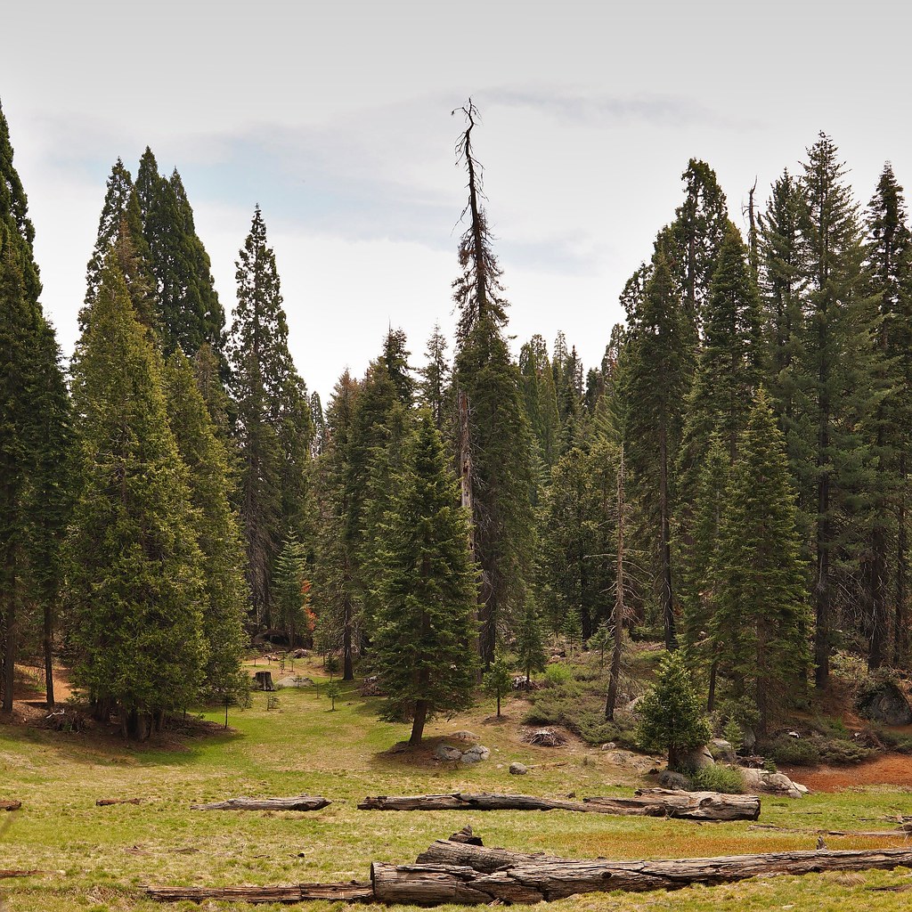 AzaleaHiking · ~2 min drivePhoto: lewinb, CC BY-SA 2.0 (via Flickr)
- Cherry GapHiking · ~3 min drive
- KanawyerHiking · ~12 min drive
- Crystal SpringHiking · Next doorPhoto: United States National Park Service, Public domain (via Wikimedia Commons)
 Redwood Canyon Hart TreeHiking · ~6 min drivePhoto: RuggyBearLA, CC BY 2.0 (via Flickr)
- Winter Trails in the Grant Grove AreaHiking · ~1 min drive
- Crystal SpringsHiking · Next doorPhoto: United States National Park Service, Public domain (via Wikimedia Commons)
 Redwood Canyon Sugar BowlHiking · ~6 min drivePhoto: RuggyBearLA, CC BY 2.0 (via Flickr)
 Grant Grove Day RideHiking · ~1 min drivePhoto: Juhele_CZ, Public Domain Dedication (CC0) (via Flickr)
Best time to visit Grant Grove North Boundary
Best months: May–October. Best months have typical highs of 55–85 °F, lows of 30 °F or warmer (32 °F where the station doesn't record snow), at most one snowy day and no more than 12 wet days.
Jan
46° / 26°
9 wet
Feb
46° / 25°
10 wet
Mar
48° / 27°
10 wet
Apr
52° / 30°
7 wet
May
60° / 38°
5 wet
Jun
71° / 46°
2 wet
Jul
79° / 52°
1 wet
Aug
79° / 52°
1 wet
Sep
73° / 47°
2 wet
Oct
63° / 39°
4 wet
Nov
53° / 32°
6 wet
Dec
46° / 25°
8 wet
Typical high / low (°F) and days with rain or snow, 1991–2020. Measured at Grant Grove, CA, 0.9 mi away at 6,580 ft. The station sits about 800 ft lower than this place, so expect it a little cooler here. This station doesn't record snowfall. Source: NOAA NCEI U.S. Climate Normals 1991–2020.
