Bizz Johnson Trail
- 5.2 mi
- round trip
- 2,427 ft
- climb
- 5,268 ft
- high point
- Out and back
- route
- Apr–Jun, Sep–Oct
- best months
Is Bizz Johnson Trail open right now?
Closure in the area
There's a closure order in Lassen National Forest. It doesn't name Bizz Johnson Trail, so check the source for the area it covers (3 listed).
Harmful Algal Blooms
Agency closure covering Lassen National Forest · USFS · Lassen National Forest
Forest Road Closure Order
Agency closure covering Lassen National Forest · Order 06-26-01 · USFS · Lassen National Forest
SAFETY ALERT - South Antelope Bridge out, Do Not Cross
Agency closure covering Lassen National Forest · USFS · Lassen National Forest
As of · Source: USFS · Lassen National Forest. Agencies don't list every closure — check before you go.
The Bizz Johnson Trail is a hard out-and-back hike in California's Lassen National Forest, within the Eagle Lake Ranger District and the Bureau of Land Management's Eagle Lake Field Office. The route is about 10.5 miles long, with a total elevation gain of 2,427 feet, and it starts and ends at about 4,650 feet. The high point is 5,268 feet, and the steepest stretch comes at about 4 miles in, with a grade of 11 percent. The most comfortable months for a visit are typically late spring and early fall. Typical averages from a nearby weather station in Susanville show May highs around 69°F and September highs around 80°F, while July and August average in the upper 80s. That station sits roughly 1,000 feet below the trail, so temperatures on the route run cooler. The trip takes about 4.5 hours. Roxie Peconom and Goumaz campgrounds are both within about 4 miles. The Fredonyer Short Loop hike is about 4.6 miles away, and the Susan River offers canoeing about 6 miles out.
- Roxie PeconomCamping3.2 mi
- GoumazCamping3.7 mi
- FREDONYER SHORT LOOPHiking4.6 mi
- Eagle Lake Ranger DistrictLake fishing5 mi
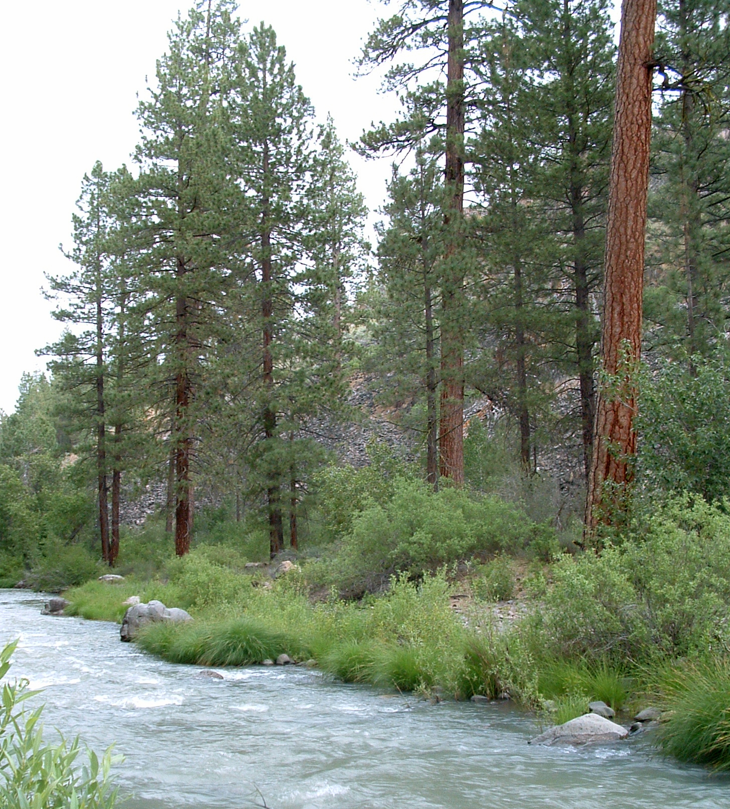 Susan RiverCanoeingPhoto: USFS Region 5, CC BY 2.0 (via Wikimedia Commons)6.2 mi
- West WallRock climbing6.4 mi
- Central Wall AmphitheaterRock climbing6.5 mi
- FREDONYER LONG LOOPHiking6.8 mi
Source: Roamze catalog (indexable pages within 10 miles, PostGIS distance)
- Bizz Johnson TrailHiking · ~4 min drive
- Bizz Johnson TrailHiking · ~6 min drive
- FREDONYER SHORT LOOPHiking · ~8 min drive
- DIAMOND MOUNTAINHiking · ~12 min drive
- Bizz Johnson TrailHiking · ~4 min drive
- Bizz Johnson TrailHiking · ~8 min drive
- FREDONYER LONG LOOPHiking · ~12 min drive
- PINE CREEK VALLEYHiking · ~24 min drive
- Bizz Johnson TrailHiking · ~10 min drive
- EAGLE LAKE SOUTH SHOREHiking · ~19 min drive
Best time to visit Bizz Johnson Trail
Best months: April–June and September–October. Best months have typical highs of 55–85 °F, lows of 30 °F or warmer (32 °F where the station doesn't record snow), at most one snowy day and no more than 12 wet days.
Jan
43° / 22°
6 wet
Feb
48° / 26°
5 wet
Mar
54° / 30°
4 wet
Apr
61° / 34°
4 wet
May
69° / 40°
3 wet
Jun
79° / 47°
2 wet
Jul
88° / 53°
1 wet
Aug
87° / 52°
1 wet
Sep
80° / 45°
1 wet
Oct
67° / 36°
2 wet
Nov
52° / 28°
4 wet
Dec
43° / 22°
6 wet
Typical high / low (°F) and days with rain or snow, 1991–2020. Measured at Susanville 2sw, CA, 7 mi away at 4,212 ft. The station sits about 1,100 ft lower than this place, so expect it a little cooler here. This station doesn't record snowfall. Source: NOAA NCEI U.S. Climate Normals 1991–2020.
Map and trail data © OpenStreetMap contributors
