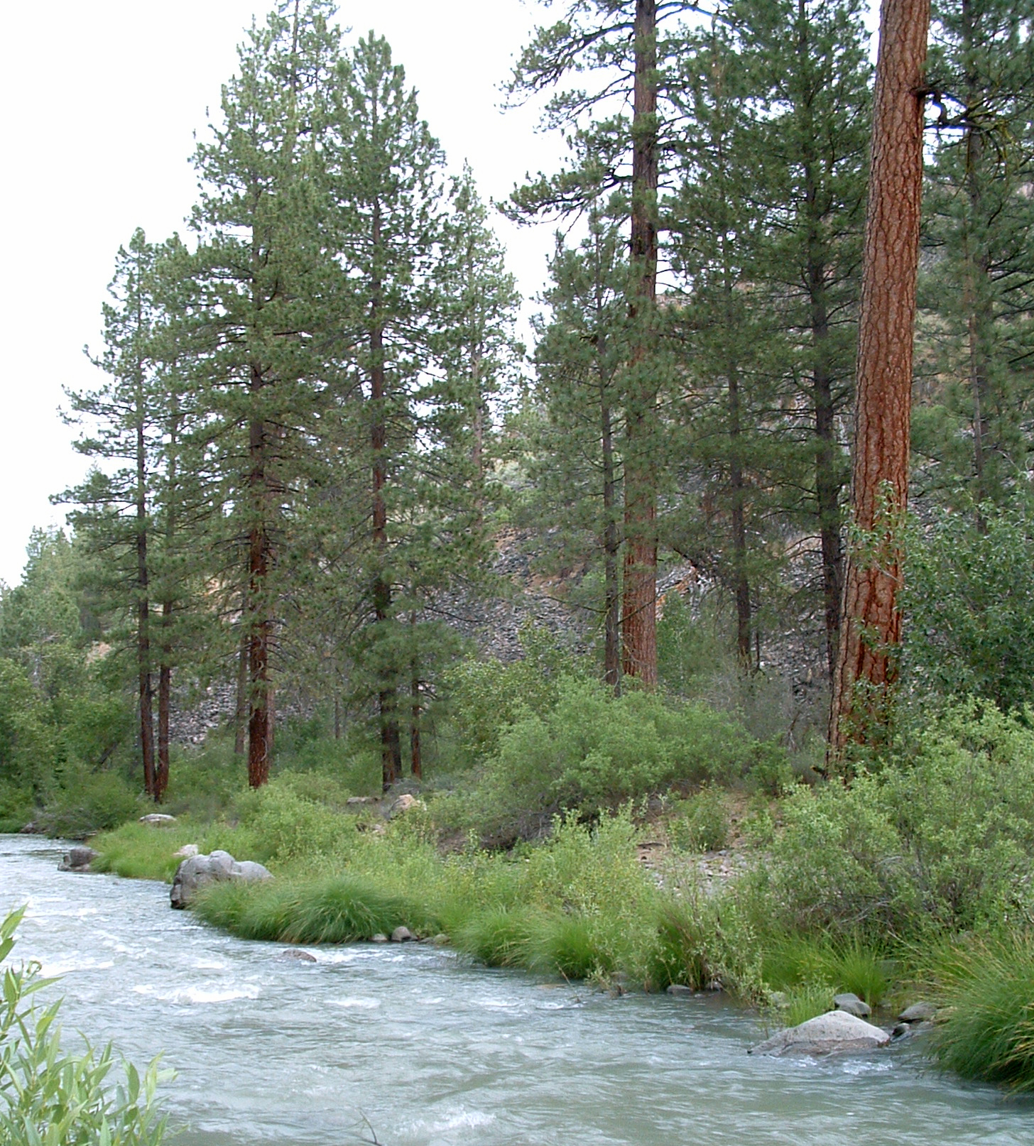
Diamond Mountain
- 5.4 mi
- round trip
- 2,312 ft
- climb
- 6,721 ft
- high point
- Out and back
- route
- May–Oct
- best months
Is DIAMOND MOUNTAIN open right now?
Alert in the area
The Forest Service lists an alert for Plumas National Forest.
Stage I Fire Restrictions - Plumas National Forest
Agency alert covering Plumas National Forest · Order 05-11-26-04 · USFS · Plumas National Forest
As of · Source: USFS · Plumas National Forest. Agencies don't list every closure — check before you go.
Diamond Mountain is a hard hike in Plumas National Forest in California, managed by the Forest Service. The route is an out-and-back of about 11 miles, with a total climb of about 2,300 feet. The trail starts at roughly 6,300 feet and reaches a high point of about 6,700 feet. The climb is steady, and the steepest stretch comes around the 5-mile mark, where the grade reaches about 18%. Summer is the most comfortable time to go. Typical averages from a nearby weather station at Manzanita Lake show July highs around 79°F with lows near 46°F, and the station sits about 1,000 feet below the summit, so temperatures on the mountain run cooler. Nearby, the Fredonyer Long Loop is about 3.5 miles away, and Roxie Peconom campground is about 4.3 miles off. Climbers can head to Lone Rock, about 5.2 miles away, and the Moonlight Ridge hike is about 5.7 miles away.
Best time to go · May–Oct
Best time to visit DIAMOND MOUNTAIN
Best months: May–October. Best months have typical highs of 55–85 °F, lows of 30 °F or warmer (32 °F where the station doesn't record snow), at most one snowy day and no more than 12 wet days.
Jan
41° / 22°
Feb
42° / 22°
Mar
46° / 24°
Apr
50° / 27°
May
61° / 35°
Jun
70° / 41°
Jul
79° / 46°
Aug
78° / 45°
Sep
72° / 41°
Oct
59° / 33°
Nov
47° / 26°
Dec
39° / 22°
Typical high / low (°F) and days with rain or snow, 1991–2020. Measured at Manzanita Lake, CA, 45.2 mi away at 5,750 ft. The station sits about 1,000 ft lower than this place, so expect it a little cooler here. This station doesn't record snowfall. Source: NOAA NCEI U.S. Climate Normals 1991–2020.
Keep exploring — more trails worth the drive
 Photo: Ken Lund, CC BY-SA 2.0 (via Flickr)
Almanor Recreation Trail
~33 min drive
5.9-mile out-and-back hike in California with 1,584 ft gain and 4,619 ft max elevation.
HIKE
FREDONYER LONG LOOP
~6 min drive
46.52-mile out-and-back trail in California with 5,504 ft gain/loss
HIKE
MOONLIGHT RIDGE
~10 min drive
1.28-mile out-and-back trail in California with 435 ft of elevation gain.
HIKE
Bizz Johnson Trail
~12 min drive
10.46-mile out-and-back trail in California with 2,427 ft elevation gain and loss.
HIKE
Bizz Johnson Trail
~15 min drive
3.62-mile out-and-back hike in California with 1,174 ft elevation gain/loss
HIKE
FREDONYER SHORT LOOP
~11 min drive
32.26-mile out-and-back trail in California with 4,942 ft elevation gain and loss.
HIKE
Bizz Johnson Trail
~13 min drive
0.30-mile lollipop trail in California with 69 ft of elevation gain.
HIKE
MOONLIGHT RIDGE
~14 min drive
6.9-mile out-and-back trail in California with 2,874 ft elevation gain and loss.
HIKE
Bizz Johnson Trail
~16 min drive
5.26-mile out-and-back trail in California with 1,163 ft elevation gain and loss.
HIKE
FREDS CREEK
~16 min drive
11.72-mile out-and-back trail in California with 4,641 ft elevation gain.