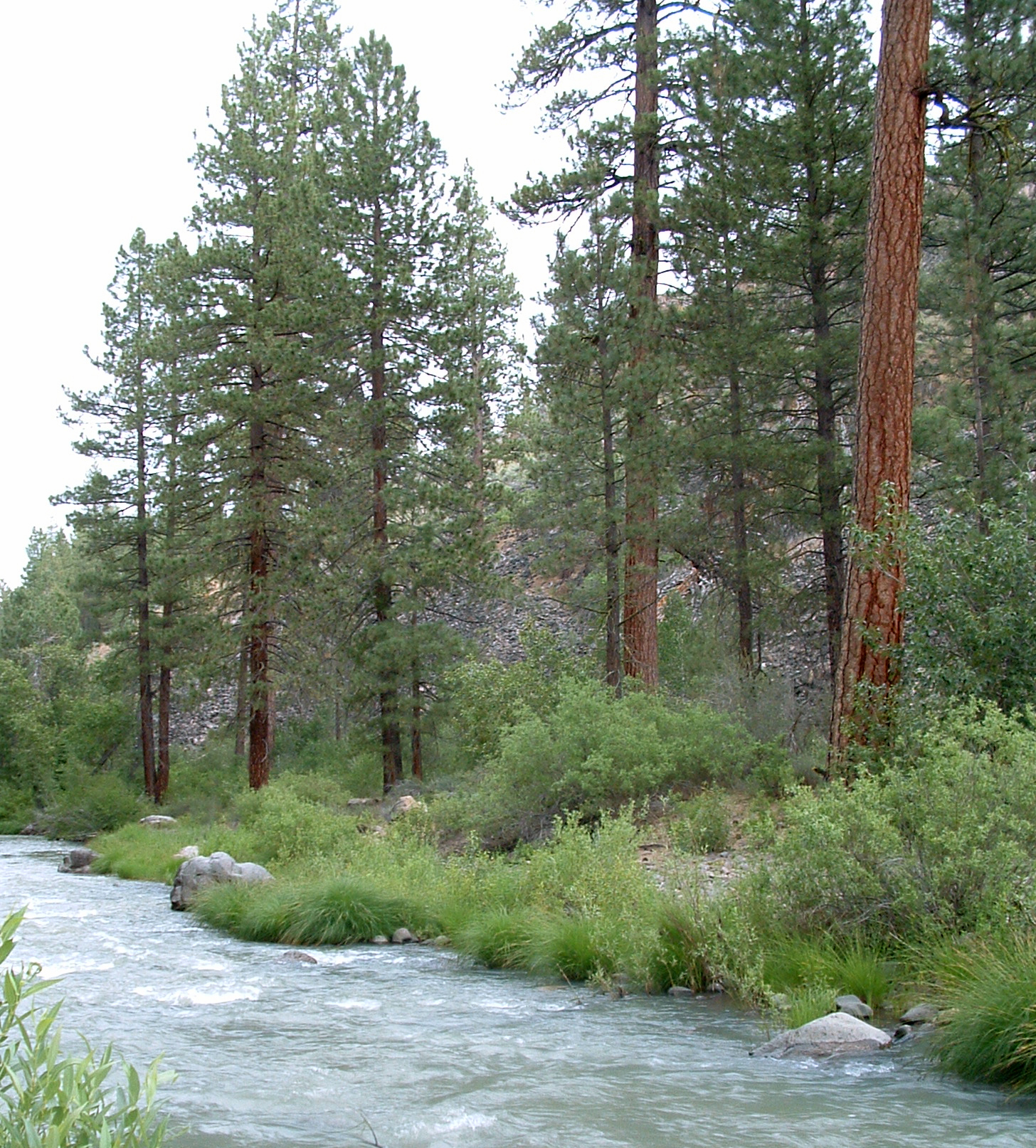
Fredonyer Long Loop
- 23.3 mi
- round trip
- 5,504 ft
- climb
- 6,989 ft
- high point
- Out and back
- route
- May–Oct
- best months
Is FREDONYER LONG LOOP open right now?
Closure in the area
There's a closure order in Lassen National Forest. It doesn't name FREDONYER LONG LOOP, so check the source for the area it covers (3 listed).
Harmful Algal Blooms
Agency closure covering Lassen National Forest · USFS · Lassen National Forest
Forest Road Closure Order
Agency closure covering Lassen National Forest · Order 06-26-01 · USFS · Lassen National Forest
SAFETY ALERT - South Antelope Bridge out, Do Not Cross
Agency closure covering Lassen National Forest · USFS · Lassen National Forest
As of · Source: USFS · Lassen National Forest. Agencies don't list every closure — check before you go.
Fredonyer Long Loop is an expert-level out-and-back hike in the Eagle Lake Ranger District of Lassen National Forest, managed by the Forest Service. The route is about 23 miles long, with a total elevation gain of about 5,500 feet. The climb is back-loaded, meaning the steepest stretch comes later in the hike, and the steepest grade reaches about 13% at roughly 6 miles in. The trail starts at the high point of about 6,989 feet and descends to a low of about 4,882 feet before returning. That makes the round trip about 46.5 miles with roughly 5,500 feet of gain and loss each way. Summer is the most comfortable time to go. Typical averages from the nearby Manzanita Lake weather station, which sits about 1,200 feet lower, show July highs near 79°F and lows around 46°F. Winter is cold, with January highs around 41°F and lows near 22°F. Nearby, Diamond Mountain is about 3.5 miles away, and the Fredonyer Short Loop and Roxie Peconom campground are each about 3.7 miles off. Goodrich Creek, a canoeing spot, is about 5.8 miles away.
- DIAMOND MOUNTAINHiking3.5 mi
- Roxie PeconomCamping3.7 mi
- FREDONYER SHORT LOOPHiking3.7 mi
- Goodrich CreekCanoeing5.8 mi
- GoumazCamping7.2 mi
- Lights CreekCanoeing7.8 mi
- Lone RockRock climbing8.5 mi
- Sunrise SlabRock climbing9.4 mi
Source: Roamze catalog (indexable pages within 10 miles, PostGIS distance)
 Almanor Recreation TrailHiking · ~28 min drivePhoto: Ken Lund, CC BY-SA 2.0 (via Flickr)
- DIAMOND MOUNTAINHiking · ~6 min drive
- FREDONYER SHORT LOOPHiking · ~6 min drive
- MOONLIGHT RIDGEHiking · ~12 min drive
- Bizz Johnson TrailHiking · ~13 min drive
- Bizz Johnson TrailHiking · ~12 min drive
- FREDS CREEKHiking · ~18 min drive
- Bizz Johnson TrailHiking · ~14 min drive
- Homer DeerheartHiking · ~15 min drive
- MOONLIGHT RIDGEHiking · ~15 min drive
Best time to visit FREDONYER LONG LOOP
Best months: May–October. Best months have typical highs of 55–85 °F, lows of 30 °F or warmer (32 °F where the station doesn't record snow), at most one snowy day and no more than 12 wet days.
Jan
41° / 22°
Feb
42° / 22°
Mar
46° / 24°
Apr
50° / 27°
May
61° / 35°
Jun
70° / 41°
Jul
79° / 46°
Aug
78° / 45°
Sep
72° / 41°
Oct
59° / 33°
Nov
47° / 26°
Dec
39° / 22°
Typical high / low (°F) and days with rain or snow, 1991–2020. Measured at Manzanita Lake, CA, 41.7 mi away at 5,750 ft. The station sits about 1,200 ft lower than this place, so expect it a little cooler here. This station doesn't record snowfall. Source: NOAA NCEI U.S. Climate Normals 1991–2020.